Tradition guide
Shinto
Shinto sacred sites often center on kami, forests, mountains, water, gates, seasonal ritual, and shrine landscapes woven into local life.
148 sacred places share this lineage. Use the country links to narrow in.
Atlas summary
Shinto sacred sites overview
Shinto sacred sites connect places through shared lineage, ritual use, memory, and pilgrimage practice across the Pilgrim Map atlas.
Use this page to compare country clusters, common place types, UNESCO-tagged landmarks, and the map distribution before exploring individual site pages.
Dates connected to Shinto
Upcoming festivals, feast days, and pilgrimages tied to Shinto. Add any to your calendar, or see the full observance calendar.
Refine the atlas
Related Shinto guides
Showing 145-148 of 148 sites in this tradition guide

Yunomine Onsen
Tanabe, Wakayama, Japan
Yunomine’s thermal waters form part of the Kumano pilgrimage landscape.
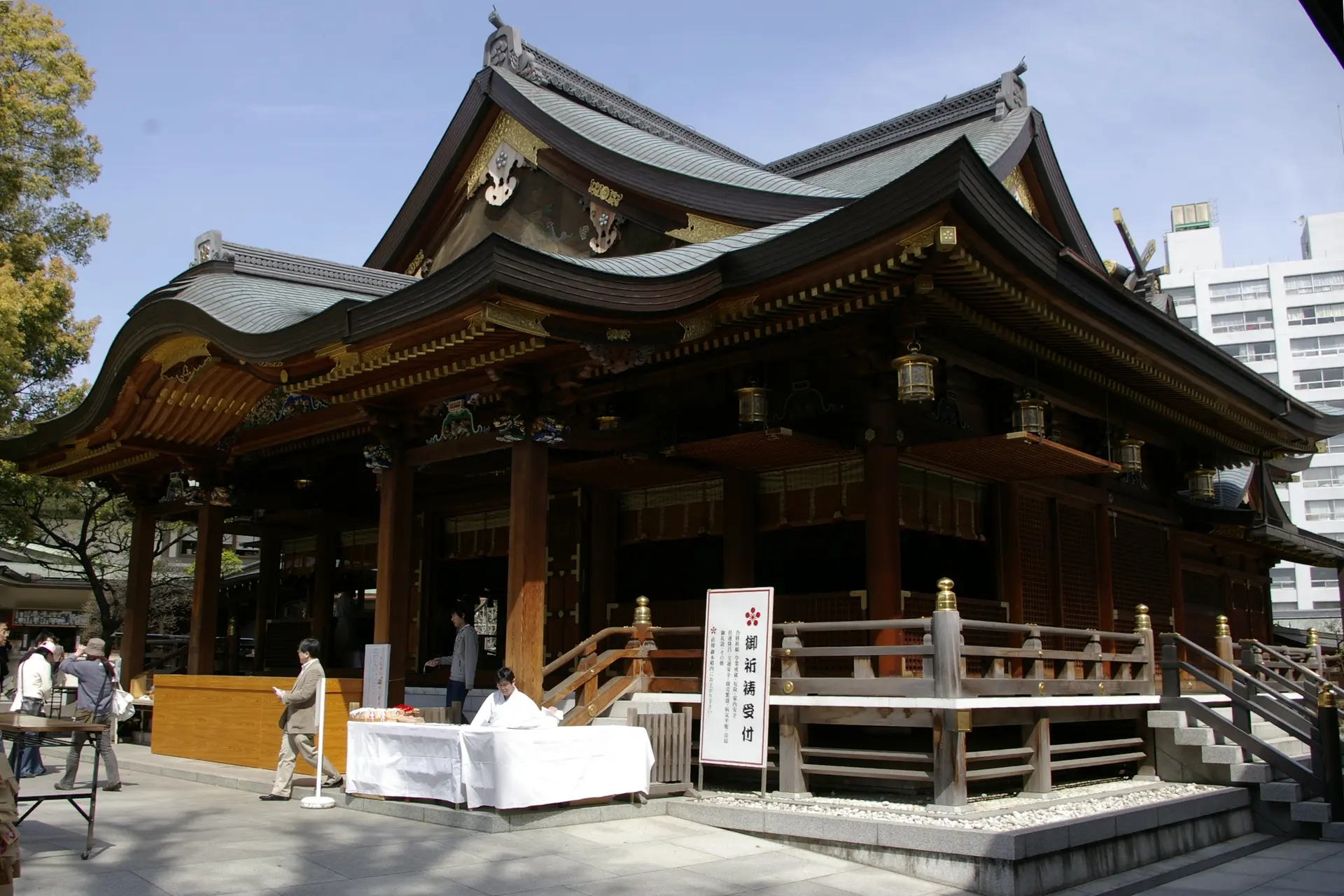
Yushima Tenjin Shrine
Bunkyo City, Tokyo, Japan
Yushima Tenjin Shrine (湯島天満宮) is an active Shinto sacred place in Tokyo. The record is grounded in an exact Google Place ID, nearby coordinates, institutional or reference...

Zeniarai Benzaiten Ugafuku Shrine
Kamakura, Kanagawa, Japan
A hillside shrine in Kamakura brings Benzaiten, the deity associated with water and prosperity, together with the serpent deity Ugafukujin.

Zeniarai Benzaiten Ugafuku Spring
Kamakura, Kanagawa, Japan
At Zeniarai Benzaiten in Kamakura, the spring flows through a cave where visitors wash coins in small baskets.
Showing 145-148 of 148 sites
Previous pageKey questions
Shinto sacred-site questions
What are Shinto sacred sites?
Shinto sacred sites are places connected by shared lineage, practice, memory, ritual use, or pilgrimage tradition.
Where can I find Shinto sacred sites?
The strongest country clusters in this guide include Japan, Taiwan.
What kinds of places are included?
The guide includes sacred landscapes, pilgrimage places, and ritual or historical sites where available.
Can I map Shinto sacred sites?
Yes. Compare country clusters and physical forms first, then open individual pages for coordinates, historical context, and visitor guidance.