Country guide
Turkey
Turkey brings together sacred architecture, pilgrimage traditions, and landscapes shaped by memory, ritual, and local devotion.
190 sacred sites across 156 regions. Use the tradition and site-type filters to narrow in.
Atlas summary
Turkey sacred sites overview
Turkey sacred sites include living temples, shrines, churches, pilgrimage places, ruins, and sacred landscapes indexed across the Pilgrim Map atlas.
Use this guide to compare regional clusters, represented traditions, and common site types before opening individual pages for visiting context and deeper background.
| Coverage | 190 sacred sites across 156 regions. |
|---|---|
| Regional clusters | |
| Traditions | |
| Site types | |
| UNESCO heritage | 4 UNESCO-tagged sites in this country guide. |
Showing 1-48 of 190 sites in this country guide

Acemhöyük
Aksaray, Yeşilova, c. 20 km from Aksaray, Turkey
Acemhöyük is one of Central Anatolia's great Bronze Age palatial sites: two monumental palace complexes, a probable bull cult, and a possible identification with...

Adada
Sütçüler / Sağrak, Isparta Province, Mediterranean Region, Turkey
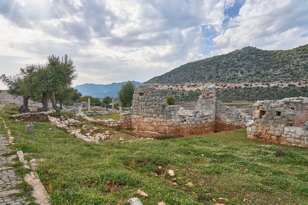
Adada is among the best-preserved and least-visited ancient cities of inland Turkey, its three temple facades still standing against the Taurus foothills after nearly two...
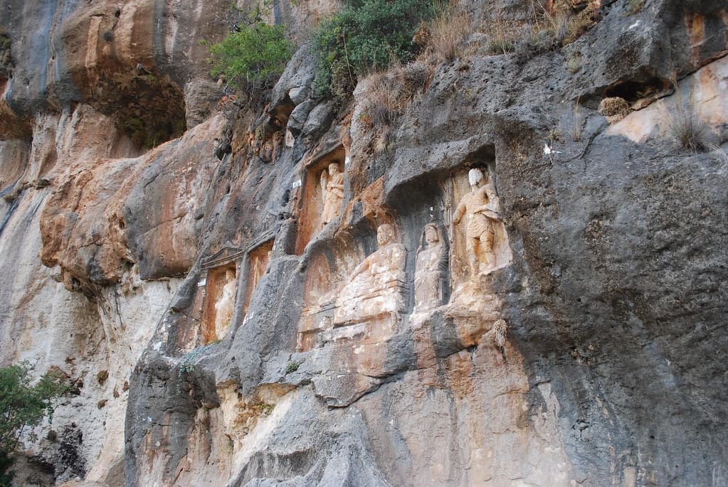
Adamkayalar
Kızkalesi hinterland / Silifke area, Mersin Province, Mediterranean Region, Turkey
In a narrow canyon in the Cilician Taurus foothills, nine niches have been cut into the rock face and filled with carved figures — eleven men, four women, two children, a...

Ahlat Urartian remains
Bitlis, Ahlat, Turkey
Ahlat on the northwestern shore of Lake Van is one of the least-visited and most extraordinary sacred landscapes in Turkey....

Aigai
Turkey
On a high shoulder of the Yunt Mountains in Manisa Province, the ancient city of Aigai held something rare: the principal oracle sanctuary of the entire Aiolis region,...

Aizanoi
Kütahya, Çavdarhisar, Turkey
Aizanoi in western Turkey contains one of the best-preserved Roman temples in existence, remarkable for its dual dedication: Zeus Olympios above in the bright Ionic...
Alabanda
Aydın, Çine, Turkey
Alabanda is a quiet, largely unexcavated Carian city in the hills above the Çine plain, formally declared inviolable sacred territory by the ancient Chrysaorian League....
Alacahöyük
Çorum, Alaca district, Turkey
Alacahöyük holds the earliest expression of Anatolian sacred kingship: royal tombs from 2500 BCE packed with bronze sun disks and bull standards, later crowned by a...

Alalakh
Hatay, Reyhanlı / near Antakya, Turkey
Alalakh was a Bronze Age city at the crossroads of Amorite, Hurrian, Mitanni, Hittite, and Aegean worlds — destroyed and rebuilt at least eighteen times over eight...

Alexandria Troas
Ezine / Dalyan, Çanakkale, Marmara Region, Turkey
Alexandria Troas was the largest and most strategically important port on the northwest Anatolian coast — a city of four hundred thousand founded at the crossroads of...

Alinda
Aydın, Karpuzlu, Turkey
Alinda stands on a twin-acropolis hill above the town of Karpuzlu in Caria, commanding a view across one of Anatolia's most fertile plains....

Alişar Höyük
Yozgat, Sorgun area, Turkey
Alişar Höyük is the stratigraphic foundation of Central Anatolian archaeology. When the Oriental Institute of Chicago excavated it systematically in 1927–1932, they...

Altıntepe
Erzincan, Üzümlü district, Turkey
Altıntepe — 'golden hill' — rises 60 metres above the Upper Euphrates on the Erzincan plain, its volcanic form carrying a Tower-temple to Haldi, a columned audience hall,...

Amisos Hill
Samsun, Samsun Province, Black Sea Region, Turkey
Amisos Hill rises above Samsun on the Turkish Black Sea coast, its summit concealing the golden burial chambers of the Pontus Kingdom elite....

Amorium
Emirdağ / Hisarköy, Afyonkarahisar Province, Central Anatolia, Turkey
Amorium was once one of the greatest cities of the Byzantine Empire — the capital of the Anatolikon theme and a city whose sack in 838 AD sent shockwaves through the...
Anazarbus
Kozan / Dilekkaya, Adana, Mediterranean Region, Turkey
Anazarbus rises from the Cilician plain on a rocky mesa — a city that has been fortress, oracle site, imperial metropolis, and Armenian capital in succession....
Andriake
Antalya, Demre, Turkey
Andriake was Myra's port and one of the busiest harbours on the Egypt-to-Rome grain route....
Antioch of Pisidia
Yalvaç, Isparta, Mediterranean Region, Turkey
At over a thousand meters on the Anatolian plateau, Antioch of Pisidia preserves the ruins of the Roman colonial city where Paul delivered one of his most consequential...

Antiphellos
Antalya, Kaş, Turkey
Antiphellos was a Lycian harbor city whose ancient necropolis of rock-cut tombs and sarcophagi has never been separated from daily life....

Aperlai
Antalya, Kekova region, Turkey
Aperlai was a Lycian harbor city that produced Tyrian purple — the most valuable dye of antiquity, reserved for emperors and gods — and whose fortification walls now...
Aphrodisias
Karacasu, Aydın, Turkey
Aphrodisias existed because of Aphrodite. The city took her name, lived under her protection, and created the sculptors who gave divine form to marble across the Roman...

Ariassus
Döşemealtı/Antalya, Turkey
Ariassus is a ruined Pisidian and Roman city on a steep hillside above the Döşemealtı district of Antalya, founded in the Hellenistic period and flourishing through the...

Arsameia
Kahta, Adıyaman, Southeast Anatolia Region, Turkey
Arsameia was the summer capital of the Kingdom of Commagene and the hierothesion — sacred burial precinct — of King Mithridates I Kallinikos, built by his son Antiochos I....

Arslankaya
Afyonkarahisar, Döğer / İhsaniye, Turkey
Rising fifteen meters from the shore of Emre Lake, Arslankaya is one of the best-preserved Phrygian rock shrines in existence....

Arslantepe
Malatya, Orduzu, Turkey
Arslantepe is a UNESCO World Heritage Site near Malatya that preserves the oldest known palace on earth and the world's earliest swords....

Arykanda
Antalya, Elmalı–Finike road, Turkey
Arykanda rises in five terraces against a near-vertical mountain cliff at roughly 1,000 meters in the Taurus range....

Asarkal Rock Tombs
Turkey
Above the ancient Halys River — the Kızılırmak — three Hellenistic rock tombs face outward from a high cliff above the Altınkaya reservoir....

Asclepieion of Pergamon
Turkey
One of antiquity's most celebrated healing sanctuaries, the Asclepieion stood at the edge of Pergamon where patients from across the Mediterranean came not for medicine in...

Aşıklı Höyük
Aksaray, Central Anatolia / Cappadocia, Turkey
Aşıklı Höyük is among the world's oldest permanent settlements, a compact mud-brick village where people first chose to root themselves to one place around 8200 BCE....

Aslantaş–Yılantaş
Afyonkarahisar, İhsaniye, Turkey
In the Göynüş Valley, two great Phrygian monuments face each other across a landscape of over forty rock-cut tombs....

Aspendos
Serik, Antalya, Mediterranean Region, Turkey
Aspendos is the site of the most intact Roman theatre on earth — its full stage building standing two stories high as it was constructed in the 2nd–3rd century CE, still...

Assos
Turkey
A volcanic hilltop city above the Aegean, Assos holds the only Archaic Doric temple in Anatolia and the site of Aristotle's philosophical academy....

Avdalaz Castle
Afyonkarahisar, Ayazini, Turkey
Avdalaz Castle rises above Ayazini village as a multi-story fortress cut directly into volcanic tuff — rooms, stairs, cisterns, and burial chambers hollowed from the same...
Ayazini
Afyonkarahisar, İhsaniye, Turkey
In a volcanic tuff cliff in the Phrygian Valley, the Phrygians cut their dead into the rock, the Romans elaborated their chambers with classical facades, and Byzantine...
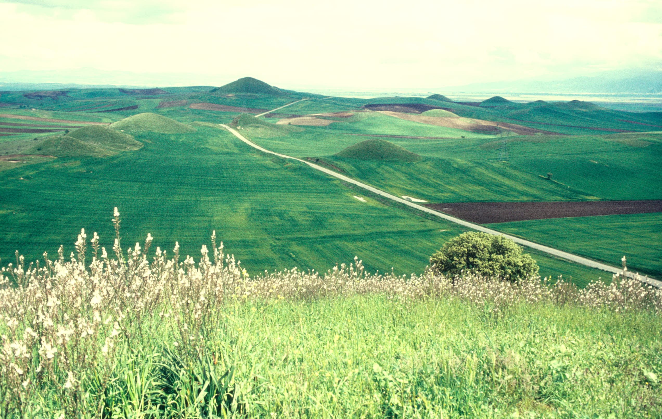
Bin Tepe
Manisa, north of Sardis near Marmara Gölü, Turkey
Bin Tepe is the royal tumulus cemetery of the Lydian Mermnad dynasty, located on a ridge above Marmara Lake 8 km north of Sardis....

Blaundus
Uşak, Ulubey, Turkey
Blaundus was founded by veterans of Alexander the Great's army on a dramatically narrow cliff-ringed peninsula jutting into the Ulubey canyon system in western Anatolia....
Boncuklu Höyük
Konya, Central Anatolia, Turkey
Boncuklu Höyük is the oldest known village on the Konya Plain, predating the famous Çatalhöyük by roughly a thousand years....

Burunkaya Inscription
Near Gücünkaya / Mamasın Barajı, Aksaray, Central Anatolia Region, Turkey
On a rock outcrop near Aksaray, King Hartapu once declared his divine mandate in Luwian hieroglyphs: 'Great King Hartapu, beloved of the Storm-God......
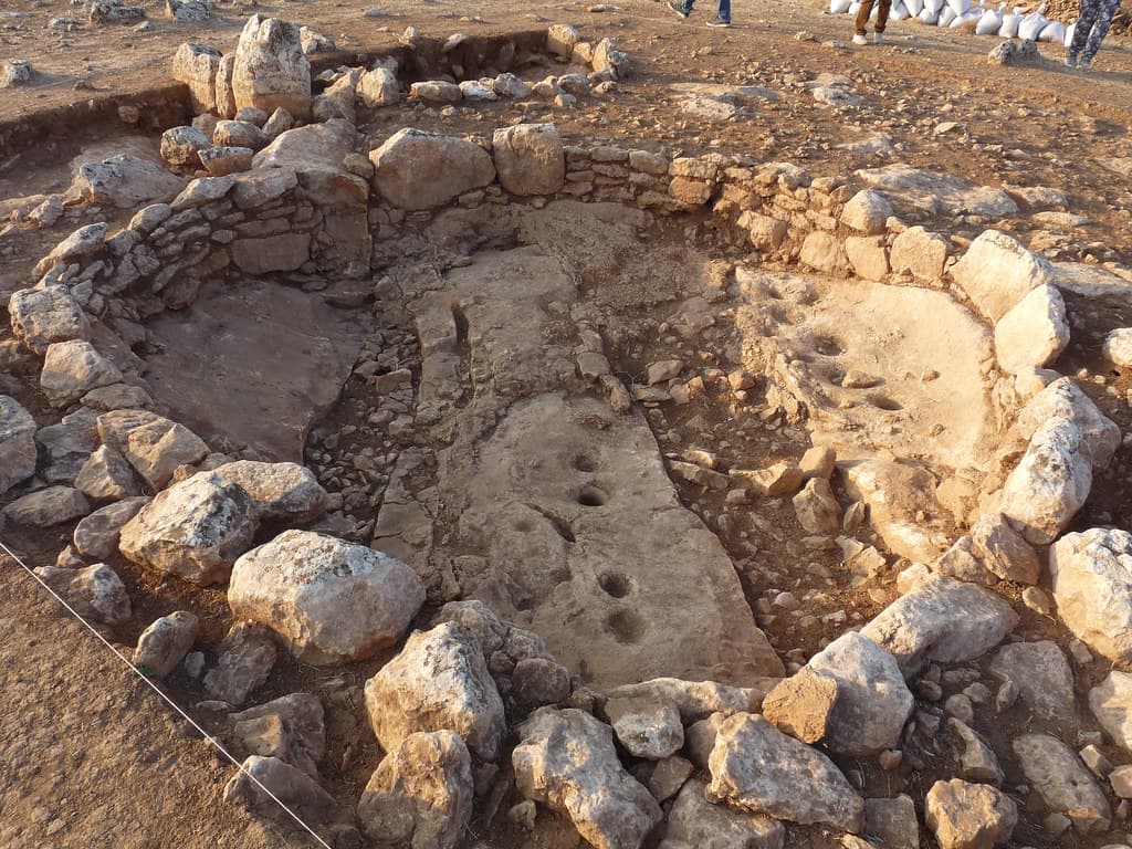
Çakmaktepe
Şanlıurfa, Southeastern Anatolia, Turkey
Çakmaktepe is the oldest known settlement in the Taş Tepeler cluster of Şanlıurfa — predating even Göbekli Tepe by roughly a thousand years....
Çandarlı Castle
Dikili / Çandarlı, İzmir Province, Aegean Region, Turkey
Çandarlı Castle stands on the Aegean waterfront at the tip of a small promontory north of İzmir — a 14th-century Genoese fortification rebuilt by the Ottoman Grand Vizier...
Castabala
Kırmıtlı / Osmaniye, Mediterranean Region, Turkey
Castabala was named Hieropolis — 'holy city' — because of the goddess who dwelt within it....
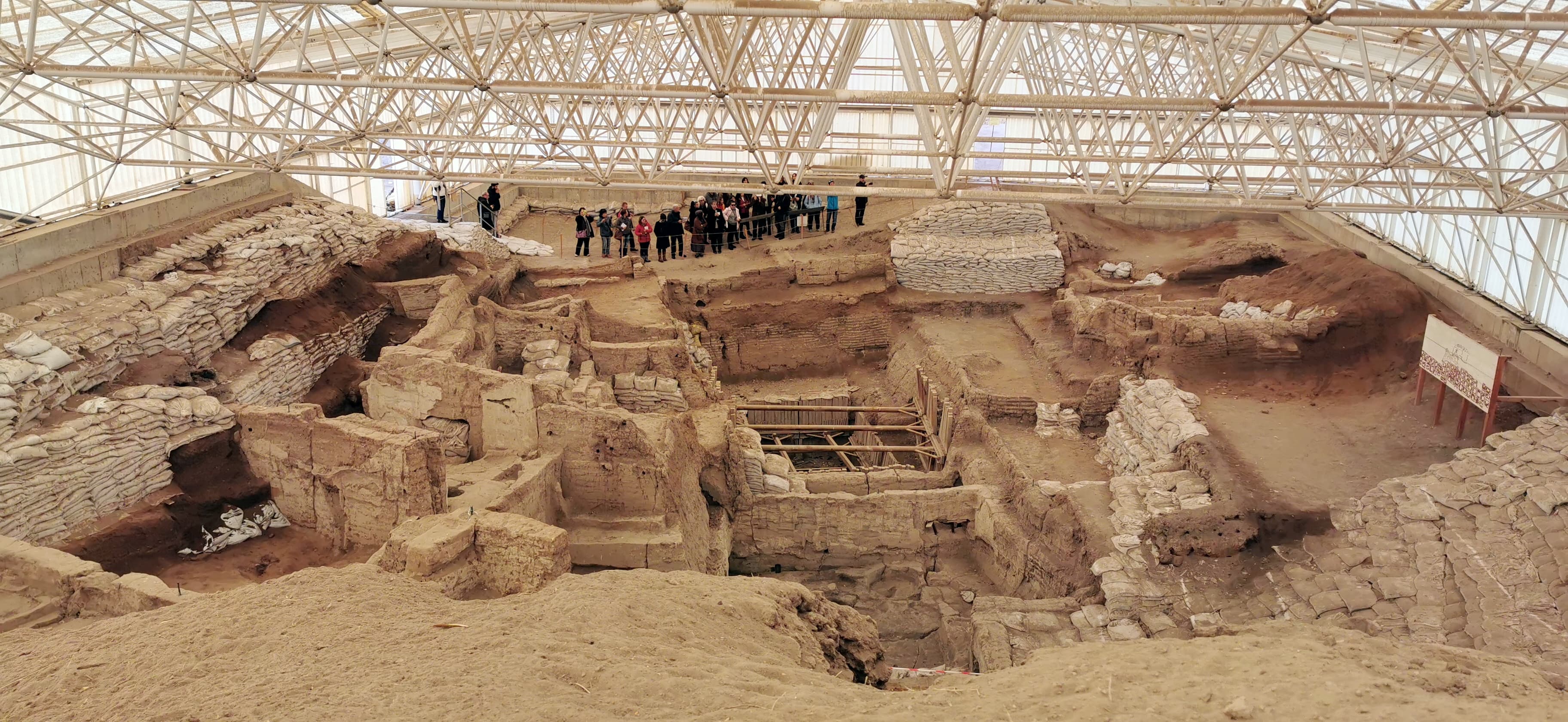
Çatalhöyük
Konya, Central Anatolia, Turkey
Çatalhöyük is one of the world's most intensively studied Neolithic settlements — 18 levels of occupation, tightly packed mud-brick houses with roof-entry and the dead...
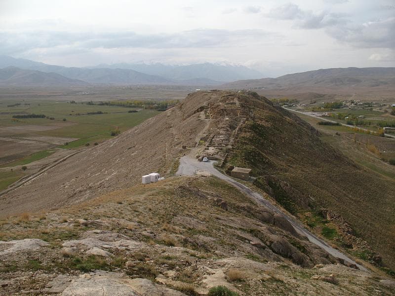
Çavuştepe
Van, Gürpınar, Turkey
A two-tiered royal fortress on a natural ridge southeast of Van, Çavuştepe was built by Sarduri II in the 8th century BC as both military stronghold and sacred precinct....

Çayönü Tepesi
Diyarbakır, Southeastern Anatolia / Ergani plain, Turkey
Çayönü Tepesi, near the headwaters of the Tigris River, is among the most ritually complex Neolithic sites in the world....

Cennet and Cehennem
Narlıkuyu / Silifke, Mersin, Mediterranean Region, Turkey
Cennet and Cehennem are paired karst sinkholes on the Cilician coast: one lush and accessible, leading down 300 steps to a Byzantine cave chapel; one dark, sheer-walled,...
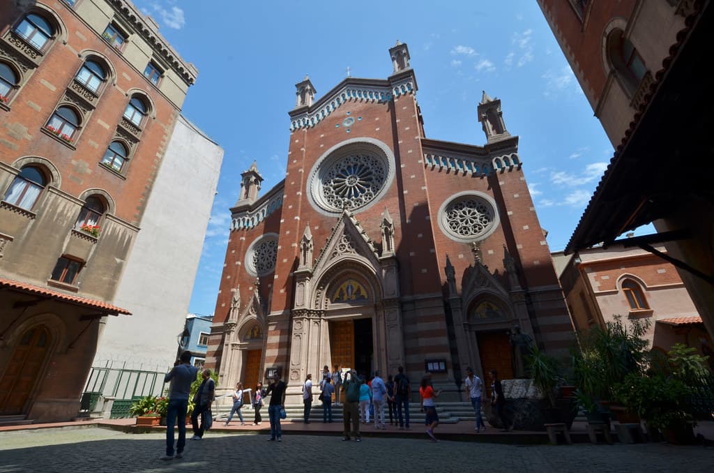
Church of Saint Anthony of Padua, Istanbul
Istanbul, Istanbul, Turkey
Rising in red brick along Istanbul's busiest avenue, the Church of Saint Anthony of Padua has served the city's Catholic community since 1725....
Church of St. Mary of Blachernae (Ayın Biri Kilisesi), Istanbul, Turkey
Istanbul, Istanbul, Turkey
At the edge of Istanbul's Byzantine walls, a small church marks one of Christianity's most storied Marian shrines....

Claros
İzmir, Ahmetbeyli, Turkey
At Claros, on the Ionian coast of what is now western Turkey, a male priest descended each night into a vaulted underground chamber, drank from a sacred spring, and...
Showing 1-48 of 190 sites
Key questions
Turkey sacred-site questions
- What sacred sites can I explore in Turkey?
- Pilgrim Map lists sacred places in Turkey across living worship sites, heritage landmarks, pilgrimage destinations, and culturally significant landscapes. The current guide lists 190 sites organized by region, tradition, and site type.
- Which traditions are represented in Turkey?
- The most represented traditions include Ancient, Multi-tradition, Hellenistic Greek, Prehistoric, Phrygian, Christianity.
- How should I plan a sacred-site visit in Turkey?
- Start with regional clusters, compare nearby places on the map, then open individual site pages for coordinates, etiquette, and sacred context where available.
- Can I view Turkey sacred sites on a map?
- Yes. Switch to map view to compare geographic clusters, then open individual site pages for coordinates, visiting context, and related places.