All pilgrimages

Pilgrimage · United Kingdom · Scottish Borders and Northumberland

St Cuthbert's Way

St Cuthbert's Way

A 100-kilometer cross-border path from the country of Cuthbert's early monastic life toward Holy Island.

Stations
3 of 3
Distance
100 km
Traditional duration
Four to six days
Founded
Modern long-distance route inspired by the 7th-century saint
Focus
Cuthbert's monastic legacy and arrival at Lindisfarne
Best season
April–October, with weather and tidal access checked daily

Complete route · all 3 core stations mapped

Key questions

What is St Cuthbert's Way?
St Cuthbert's Way is a Christianity pilgrimage route in United Kingdom, Scottish Borders and Northumberland. A 100-kilometer cross-border path from the country of Cuthbert's early monastic life toward Holy Island
How many stations are on St Cuthbert's Way?
This guide currently maps 3 stations, with 3 total sites noted in the route metadata.
When is the best time to walk St Cuthbert's Way?
April–October, with weather and tidal access checked daily

Opening

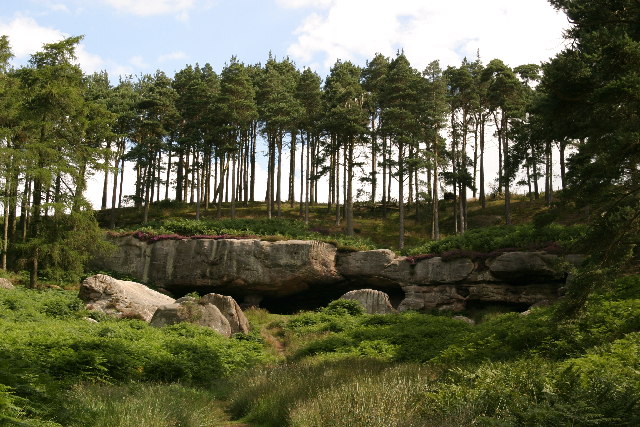
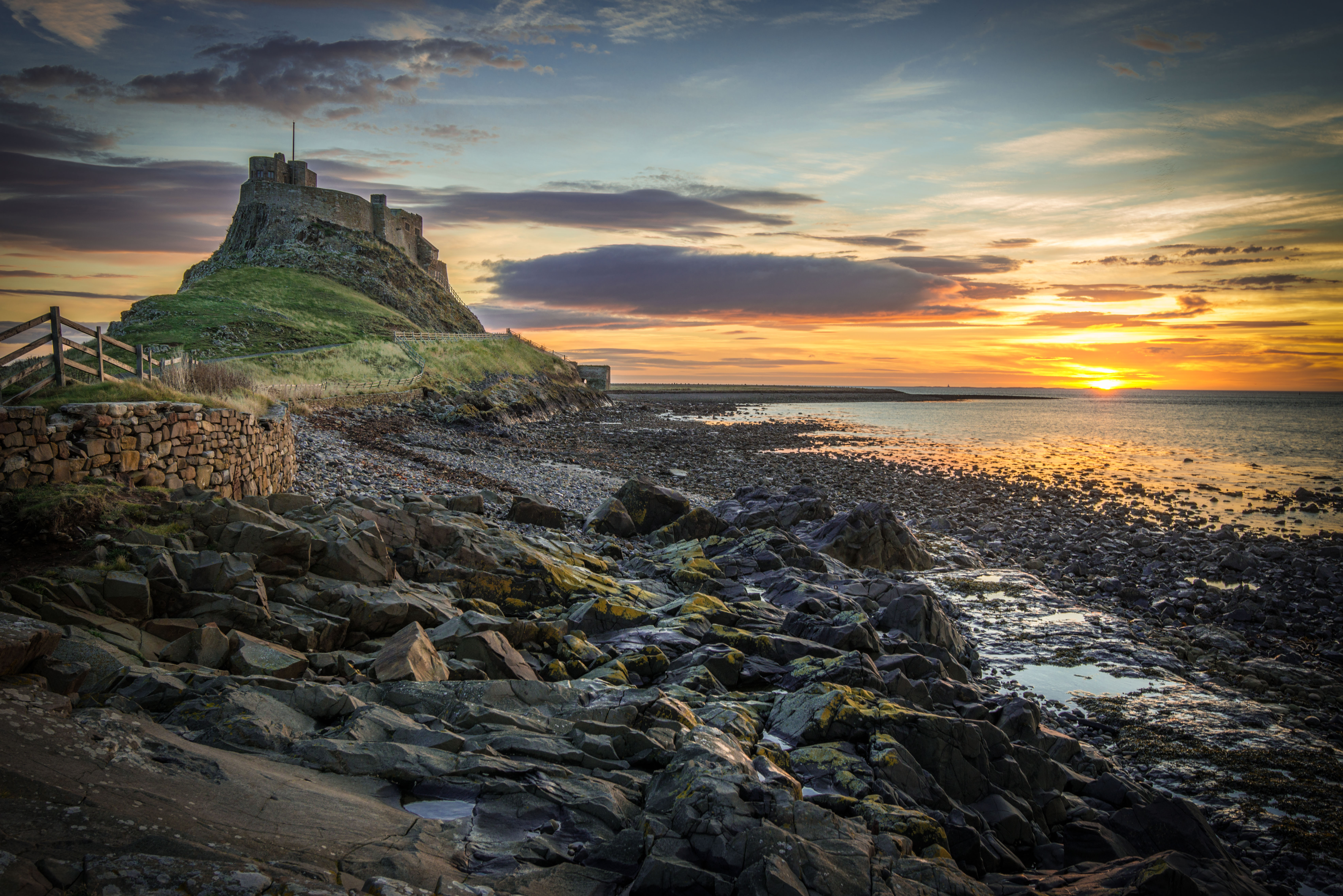
St Cuthbert's Way crosses from Melrose in the Scottish Borders to Lindisfarne off the Northumberland coast. Pilgrim Map currently marks three places along that movement: Maxton Kirk, St Cuthbert's Cave, and Lindisfarne Priory. The final tidal crossing is both the route's defining arrival and its greatest practical hazard.

Origins

The modern waymarked trail links landscapes associated with Cuthbert, a seventh-century monk, bishop, and saint connected especially with Melrose and Lindisfarne. It follows no single documented journey by Cuthbert; rather, it creates a contemporary pilgrimage through places tied to his life and later devotion.

Why pilgrims walk it

Walkers come for Christian pilgrimage, border landscapes, long-distance walking, or reflection on early monastic life. The route's final approach to Holy Island gives those intentions a shared physical threshold governed by the sea rather than by individual pace.

Significance

Cuthbert remains central to the Christian heritage of northern England and southern Scotland. The path connects living communities with ruins, churches, caves, and an island whose sacred importance predates modern trail branding.
The route

3 stations on the map

Click any marker to open that station. Numbered pins follow the traditional route order.

Loading map...

Stations

Walk the route in order

Each station opens onto its own page. Origins, the experience of arrival, what is held there. Stations not yet on Pilgrim Map will appear here as their pages are completed.

Walking it today

The official route is 62.5 miles and usually walked west to east. Holy Island's causeway is submerged by the tide twice daily; published safe-crossing windows are mandatory, not suggestions. Weather, river levels, livestock, and remote sections also require current planning.

Attire and practice

Observe church and priory rules, close gates, keep dogs under control, and do not leave objects in St Cuthbert's Cave. Never begin the tidal crossing outside the published safe window, even if other people appear to be crossing.

Respectful visitation

Before visiting the stations

This route belongs to a living tradition. Use the route notes here together with the broader Christian pilgrimage etiquette guide, and follow local signs or custodians at each station.

Sources

Sources consulted when researching this page. Independent verification by readers is welcome.

  1. 01St Cuthbert's Way — Long Distance RouteSt Cuthbert's Way official partnershiphigh-reliability
  2. 02St Cuthbert's WaySt Cuthbert's Way official partnershiphigh-reliability
  3. 03Holy Island crossing timesNorthumberland County Councilhigh-reliability