All pilgrimages

Pilgrimage · Spain · Navarre, La Rioja, Castile and León, Galicia

Camino Francés

Camino Francés

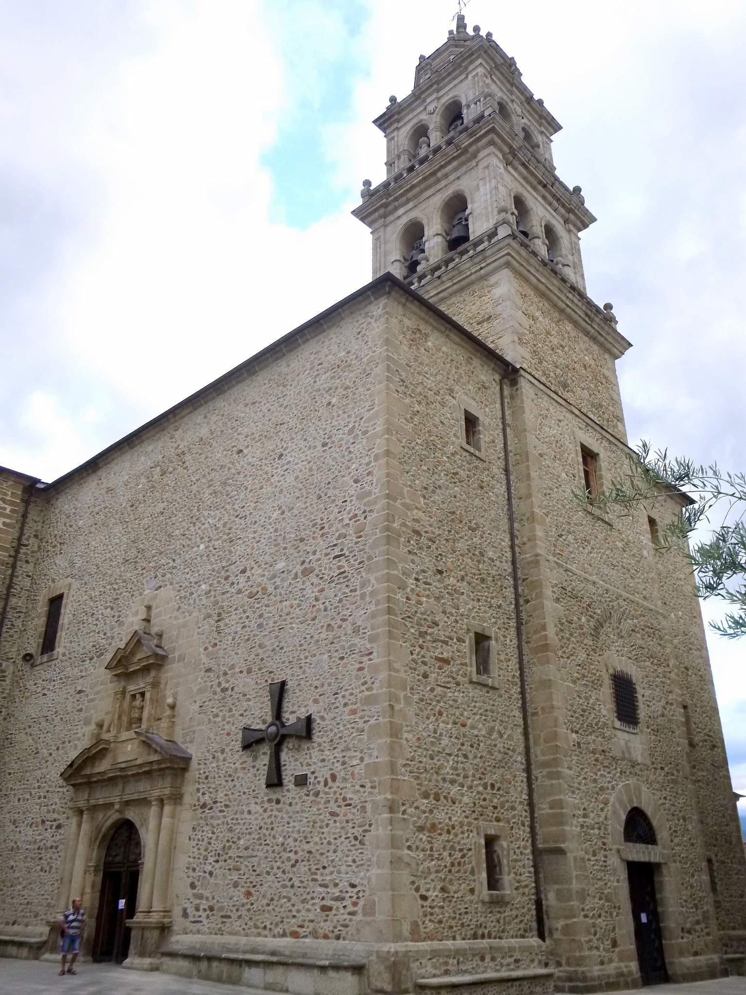
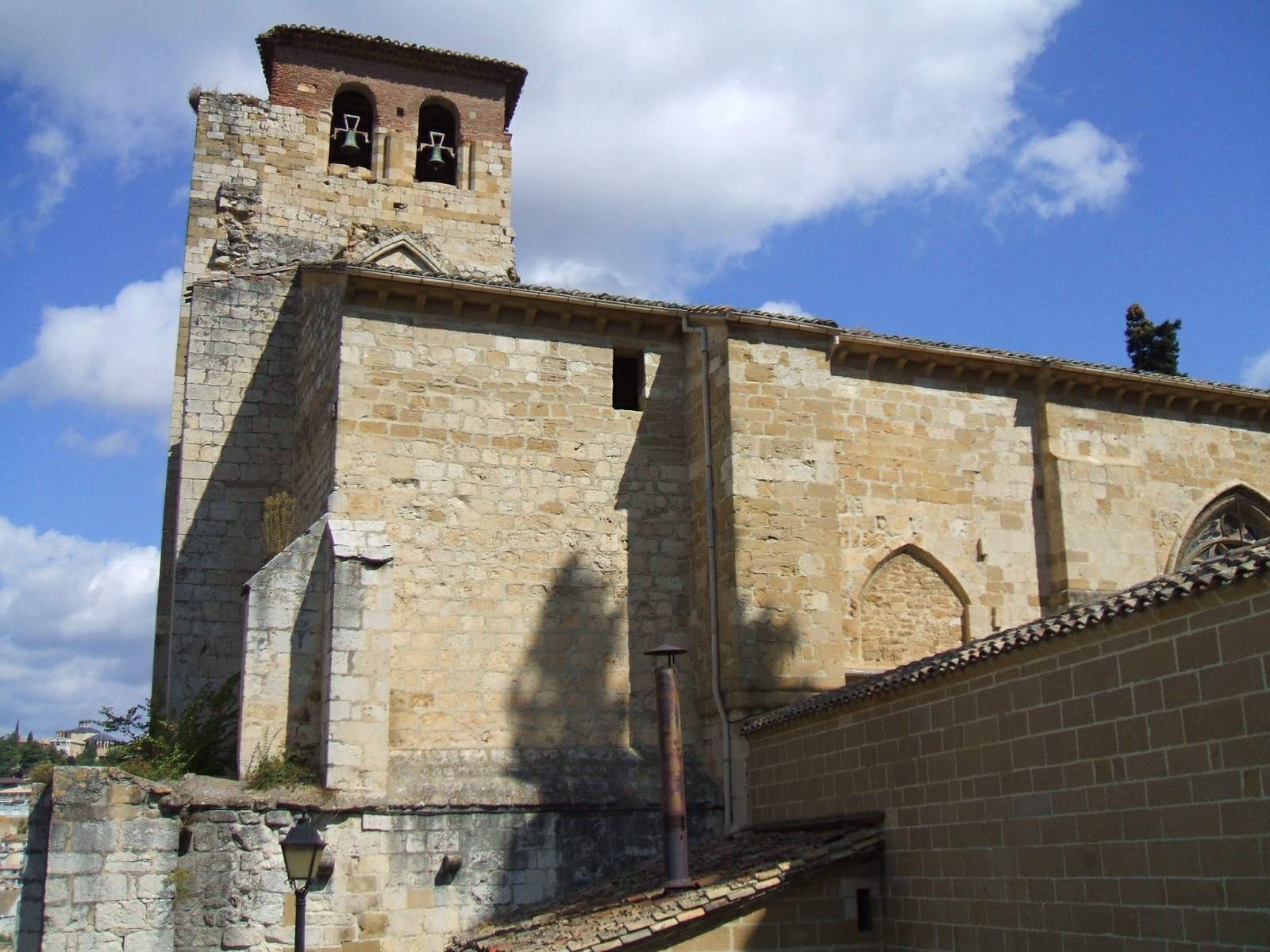
Eleven mapped churches along the best-known Spanish approach to Santiago, presented as a partial sacred-site spine rather than a complete stage guide.

Stations
11 of 11
Distance
780 km
Traditional duration
About 30–35 days from Saint-Jean-Pied-de-Port
Founded
Medieval route documented in the Codex Calixtinus
Focus
Pilgrimage to Saint James at Santiago de Compostela
Best season
April–June and September–October

Selected church stops through Portomarín; the current membership does not yet include the final stages or Santiago Cathedral.

Complete route · all 11 core stations mapped

Key questions

What is Camino Francés?
Camino Francés is a Christianity pilgrimage route in Spain, Navarre, La Rioja, Castile and León, Galicia. Eleven mapped churches along the best-known Spanish approach to Santiago, presented as a partial sacred-site spine rather than a complete stage guide
How many stations are on Camino Francés?
This guide currently maps 11 stations, with 11 total sites noted in the route metadata.
When is the best time to walk Camino Francés?
April–June and September–October

Opening

The Camino Francés is the most internationally recognized route to Santiago. Pilgrim Map currently follows eleven churches from Pamplona through La Rioja, the Meseta, León, and into Galicia as far as Portomarín. This is enough for a coherent sacred-site narrative, but it is not yet a complete route inventory and does not replace official stage maps.

Origins

Medieval roads from France entered through Roncesvalles or Somport and joined at Puente la Reina before crossing northern Spain. The Codex Calixtinus described the route in the twelfth century, while modern associations and public authorities rebuilt waymarking and pilgrim infrastructure during the twentieth century.

Why pilgrims walk it

The route's long continuity, shared albergue culture, and daily movement toward one goal make it accessible to pilgrims with many intentions. Catholic practice remains visible in blessings, Masses, churches, and arrival rites, alongside a large secular walking community.

Significance

The Francés became the principal reference route within the wider Camino network and is included in UNESCO's transnational heritage listing. Its popularity also creates pressure on housing, paths, worship spaces, and local communities, especially in the final Galician stages.

The route

11 stations on the map

Click any marker to open that station. Numbered pins follow the traditional route order.

Loading map...

Stations

Walk the route in order

Each station opens onto its own page. Origins, the experience of arrival, what is held there. Stations not yet on Pilgrim Map will appear here as their pages are completed.

Walking it today

Use official maps and alerts for the full route. The mapped collection currently ends at Portomarín and omits later stages to Santiago. Heat on the Meseta, winter closures, road crossings, bed availability, and foot care require practical planning beyond sacred-site selection.

Attire and practice

Keep church visits quiet even when many pilgrims arrive together. Follow local rules for backpacks, stamps, photography, and Mass; do not treat sanctuary staff as tourism services or reserve unattended beds in communal lodging.

Respectful visitation

Before visiting the stations

This route belongs to a living tradition. Use the route notes here together with the broader Christian pilgrimage etiquette guide, and follow local signs or custodians at each station.

Sources

Sources consulted when researching this page. Independent verification by readers is welcome.

  1. 01Camino Francés — official routeXunta de Galiciahigh-reliability
  2. 02Itinerary of the Camino FrancésConsejo Jacobeo, Ministry of Culture of Spainhigh-reliability
  3. 03Routes of Santiago de CompostelaUNESCO World Heritage Centrehigh-reliability