Key questions
- What is El Paso Mission Trail?
- El Paso Mission Trail is a Christianity pilgrimage route in United States, El Paso County, Texas. A complete three-church trail along nine miles of the historic Camino Real, linking Ysleta, Socorro, and San Elizario while keeping the region's living Indigenous and borderlands history in view
- How many stations are on El Paso Mission Trail?
- This guide currently maps 3 stations, with 3 total sites noted in the route metadata.
- Can the El Paso Mission Trail be safely walked?
- This map records the three-station sequence, not a guaranteed pedestrian route. Check current sidewalks, traffic, heat, water access, and local conditions independently before deciding to walk or cycle Socorro Road.
Opening
South of central El Paso, Socorro Road links three churches across a nine-mile section of El Camino Real de Tierra Adentro: Mission Ysleta, Mission Socorro, and the San Elizario Presidio Chapel. The route is compact, but its history is not. It crosses a borderland repeatedly reshaped by Indigenous survival, Spanish colonization, river floods, changing national boundaries, and continuing Catholic practice.
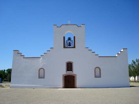
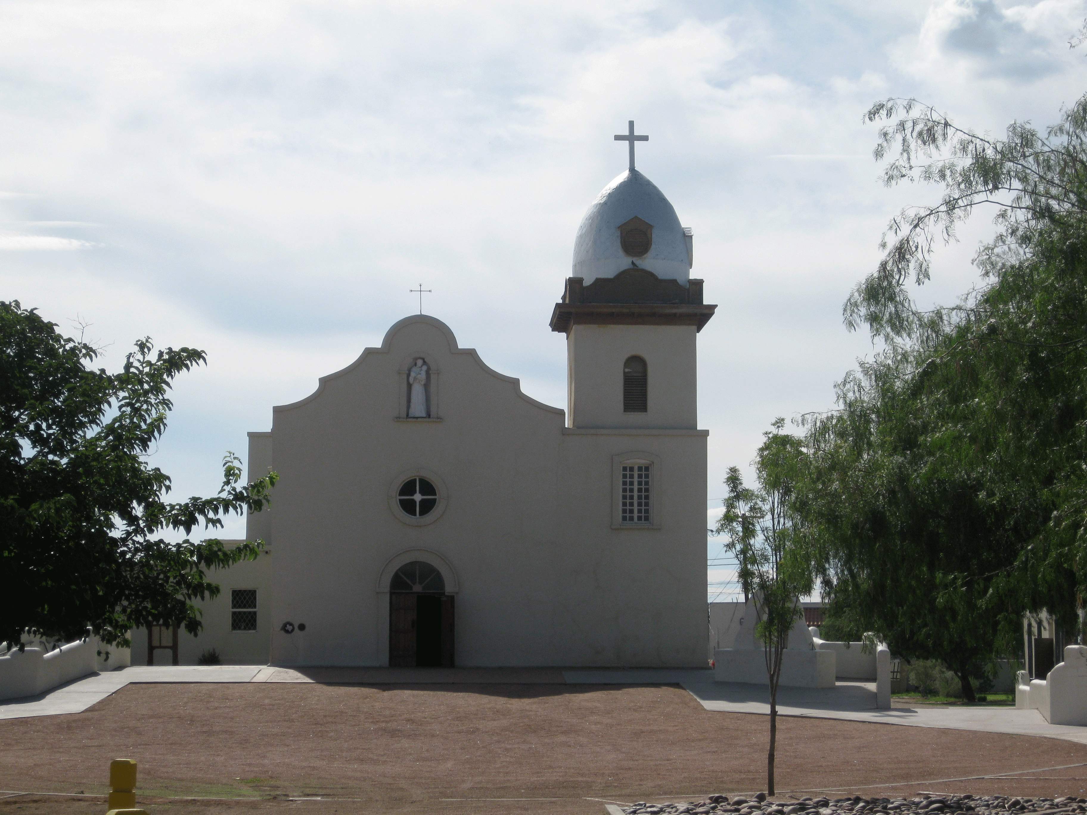
The National Park Service identifies these three churches as the El Paso Mission Trail, and all three are mapped here. Ysleta and Socorro are missions associated with communities established after the Pueblo Revolt era; San Elizario grew around a Spanish presidio and chapel further south. Their architectural forms and devotional lives are connected, but the communities should not be flattened into a single origin story.
Origins
Ysleta and Socorro emerged from the forced and negotiated movements that followed the 1680 Pueblo Revolt in New Mexico, when Indigenous people and Spanish colonists moved south along the Rio Grande. The present churches are later buildings shaped by floods, rebuilding, and community continuity. At Socorro, the National Park Service records earlier mission losses to Rio Grande floods in 1740 and 1829; the current adobe church was constructed around 1840 and incorporates carved and painted vigas salvaged from its predecessor.
San Elizario developed around a presidio established in the late Spanish colonial period. The chapel visible today belongs to that continuing settlement history rather than to the same founding moment as Ysleta and Socorro. The route's name is therefore geographic and interpretive: three church sites on one historic road, not three identical missions.
Why pilgrims walk it
For local Catholics, the churches are places of worship, feast days, family memory, and sacramental life. Visitors may follow the road devotionally, historically, or as part of a longer engagement with El Camino Real de Tierra Adentro. A respectful journey makes room for each purpose without treating present-day congregations as scenery.
The short distance can encourage hurried tourism, yet the route rewards a slower pace. Time at the Tigua Indian Cultural Center and other community-led interpretation can place Mission Ysleta within living Pueblo history, while the churches themselves reveal how worship and building traditions continued through floods and changes of government.
Significance
The trail preserves three of the most important religious landmarks in the El Paso borderlands and a surviving segment of the larger Camino Real that linked Mexico City and northern settlements. NPS describes Socorro Road from Ysleta through Socorro to San Elizario as the designated Mission Trail and a nine-mile section of the national historic trail.
Its significance is shared and sometimes difficult: the churches bear witness to Catholic devotion and architectural endurance, but also to colonial displacement and the transformation of Indigenous communities. Presenting both dimensions is necessary to understand why the sites matter now.