Country guide
United Kingdom
The United Kingdom combines medieval pilgrimage, Celtic and Christian holy places, megalithic landscapes, monastic ruins, islands, springs, and living worship sites.
272 sacred sites across 78 regions. Use the tradition and site-type filters to narrow in.
Atlas summary
United Kingdom sacred sites overview
United Kingdom sacred sites range from cathedrals and abbeys to holy wells, stone circles, sacred islands, pilgrimage churches, and landscapes shaped by layered ritual memory.
Use this guide to compare country and regional clusters, then open individual pages for coordinates, historical context, and nearby sacred places.
| Coverage | 272 sacred sites across 78 regions. |
|---|---|
| Regional clusters | |
| Traditions | |
| Site types | |
| UNESCO heritage | 6 UNESCO-tagged sites in this country guide. |
By tradition
Dates connected to United Kingdom
Upcoming festivals, feast days, and pilgrimages tied to United Kingdom. Add any to your calendar, or see the full observance calendar.
Showing 1-48 of 273 sites in this country guide
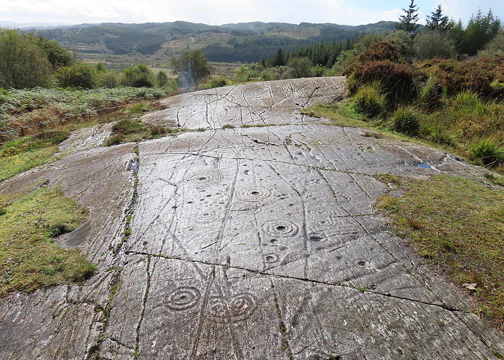
Achnabreck Rock Art Sites
Lochgilphead, Argyll and Bute, United Kingdom
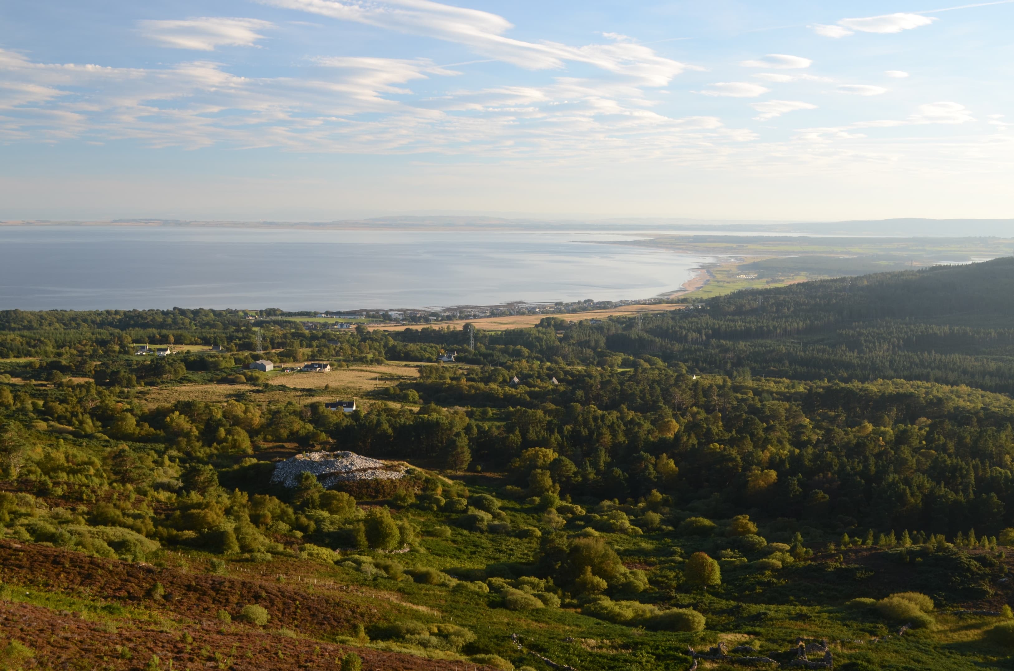
On a series of natural rock outcrops in a forest above Kilmartin Glen, the most extensive prehistoric carvings in Scotland lie open to the sky....
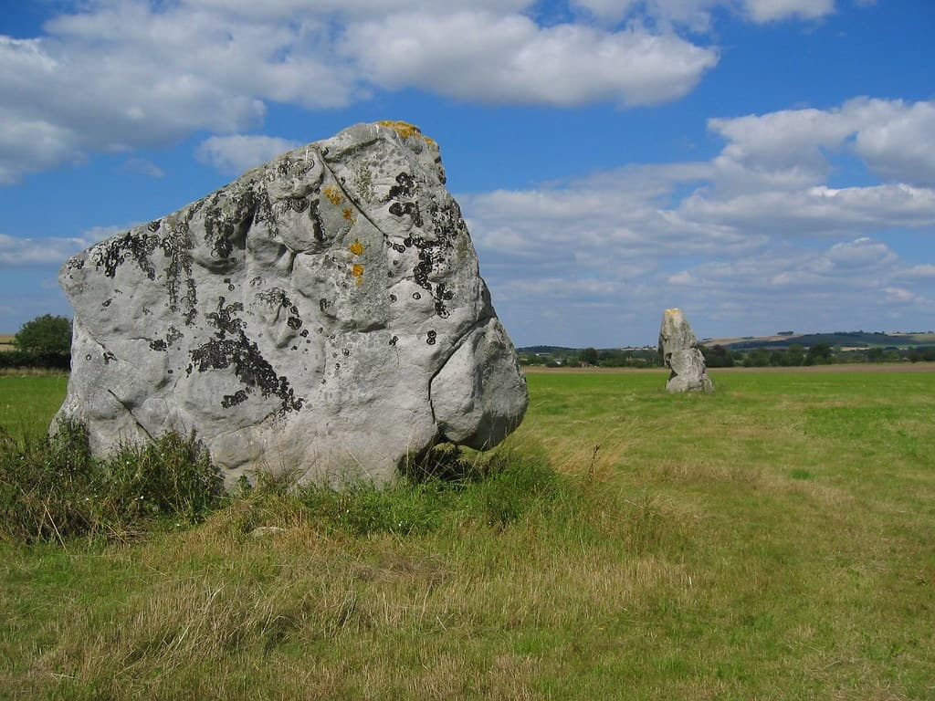
Adam and Eve Stones, Avebury
Beckhampton, England, United Kingdom
A mile from Avebury, two massive stones stand in a field that most visitors never reach....

All Saints, Blackheath
London, Blackheath, Greater London, United Kingdom
All Saints' Blackheath stands at the threshold between London and the open road south....

All Saints' Church, Boughton Aluph
Boughton Aluph, Boughton Aluph, Kent, United Kingdom
All Saints' Church stands directly on the Pilgrim's Way in the Kent village of Boughton Aluph, where it has sheltered travellers bound for Canterbury since the 12th...
Archbishop's Palace, Charing
Charing, Charing, Kent, United Kingdom
On the edge of Charing village stands a great medieval hall that once housed the Archbishops of Canterbury on their journeys between London and Canterbury....
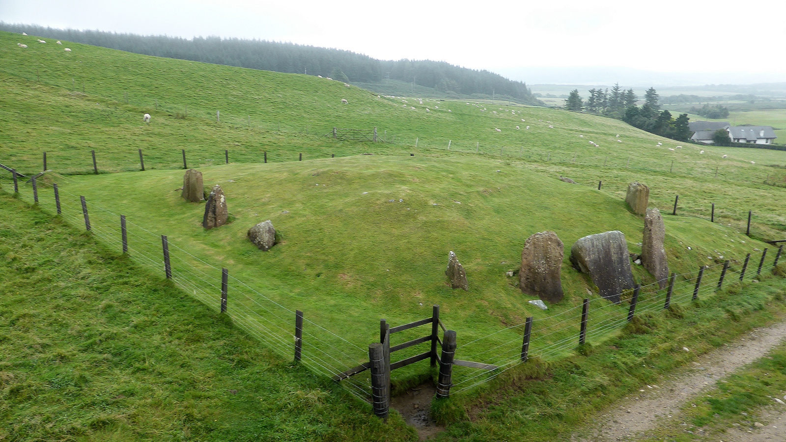
Auchagallon Curved Cairn
Machrie, North Ayrshire, United Kingdom
On the west coast of the Isle of Arran, on a shelf of hillside above Machrie Bay, fifteen upright stones form a circle around the remains of a Bronze Age burial cairn....

Auchencar Standing Stone
Machrie, North Ayrshire, United Kingdom
On the west coast of the Isle of Arran, where the coastal road runs between the mountains and the sea, a tall blade of red sandstone rises from a sheep field near...

Avebury
Avebury, England, United Kingdom
Avebury surrounds you rather than keeping you at a distance. Unlike its famous neighbor Stonehenge, this vast Neolithic monument invites you to walk among its massive...
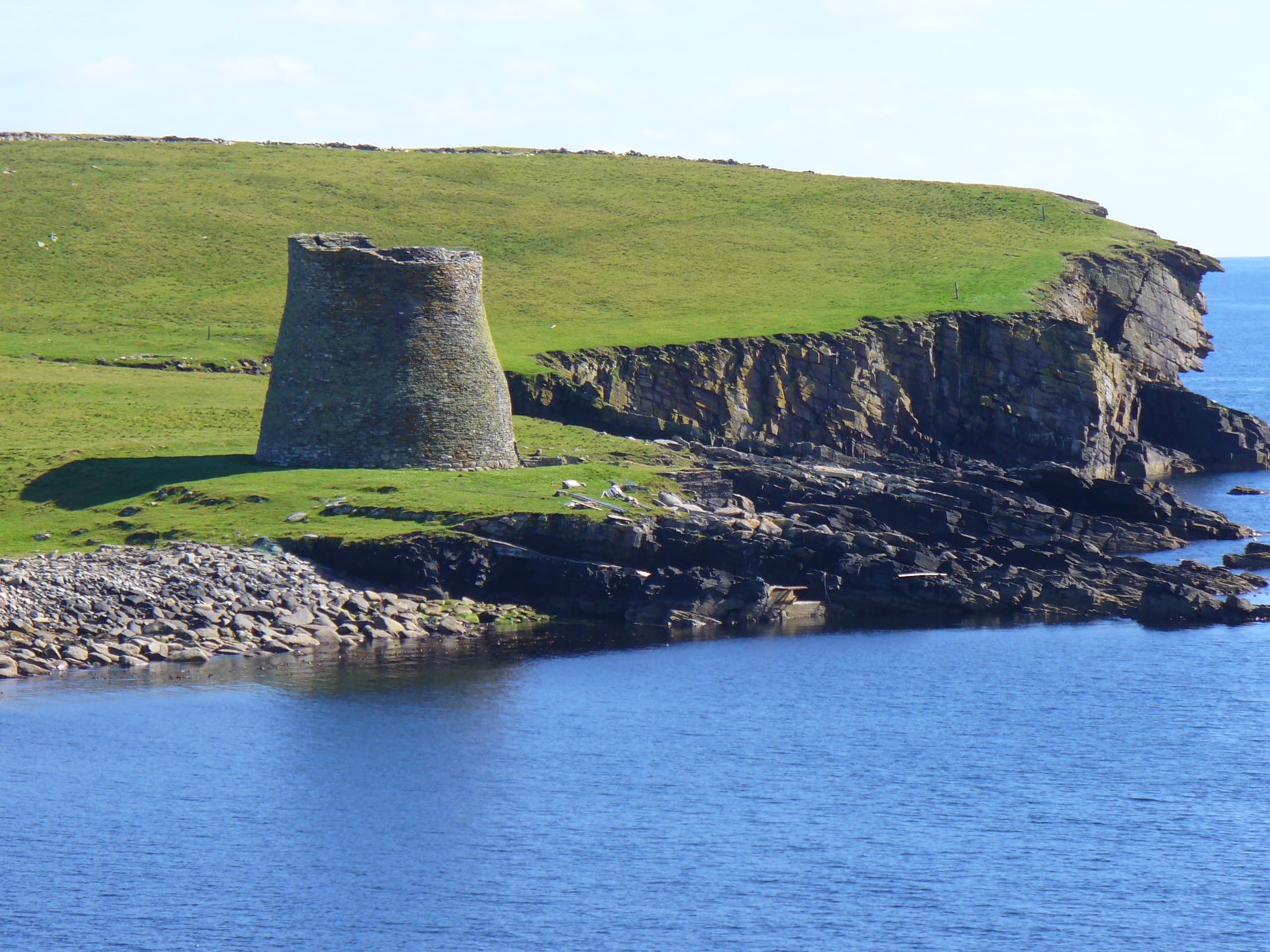
Backies Broch
Golspie, Sutherland, United Kingdom
On a rocky hillock above the village of Golspie, the remains of Backies Broch look out over the Moray Firth and the North Sea....

Ballygowan Rock Art
Kilmartin, Argyll and Bute, United Kingdom
On a natural rock outcrop above Kilmartin Glen, more than seventy cup and ring marks dimple a surface that has not changed in five thousand years....
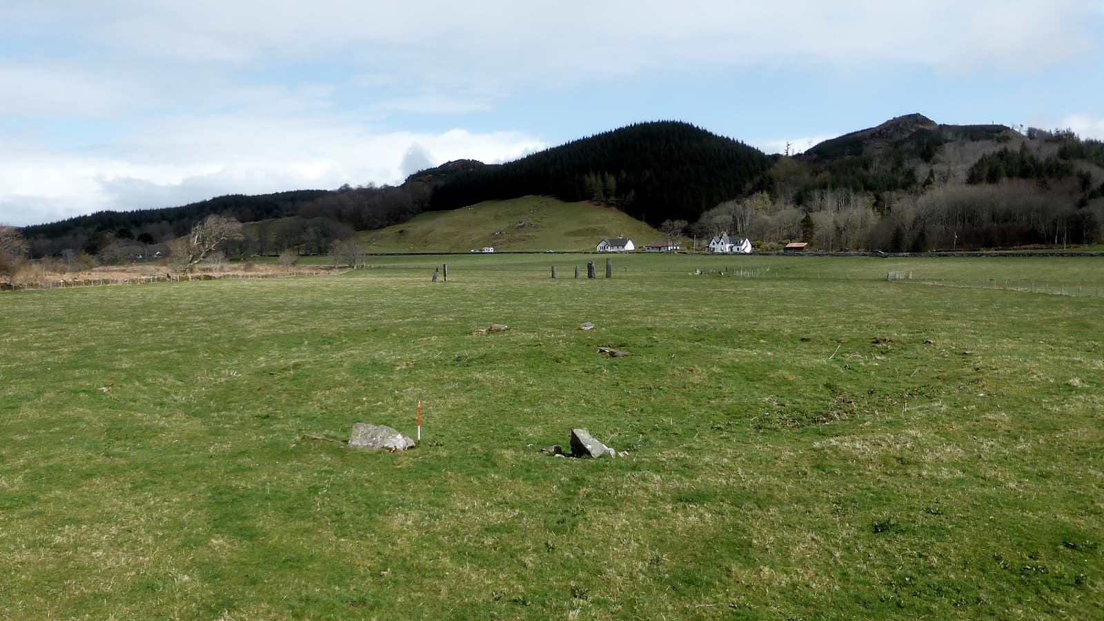
Ballymeanoch Neolithic site, Kilmartin Glen
Kilmartin, Alba / Scotland, United Kingdom
In Kilmartin Glen, where more than 350 ancient monuments cluster within six miles of a quiet village, Ballymeanoch holds its ground with particular intensity....
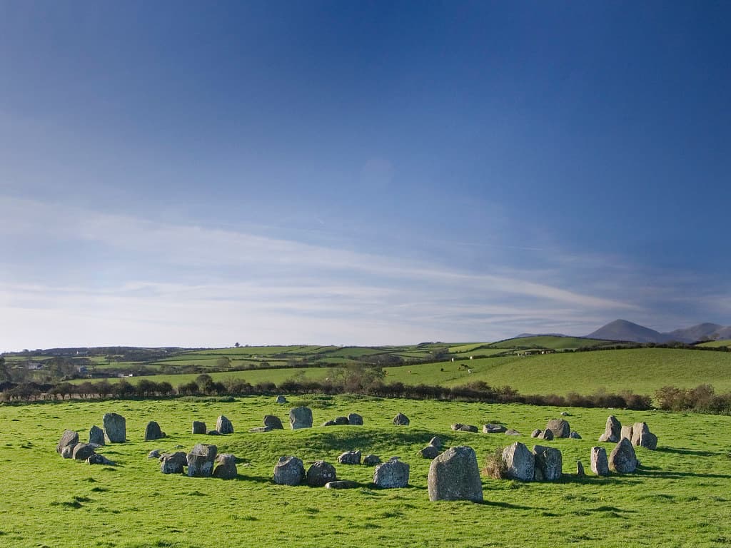
Ballynoe Stone Circle, Downpatrick, Ireland
Downpatrick, Northern Ireland, United Kingdom
Rising from the green fields of County Down, Ballynoe Stone Circle holds five thousand years of accumulated silence....
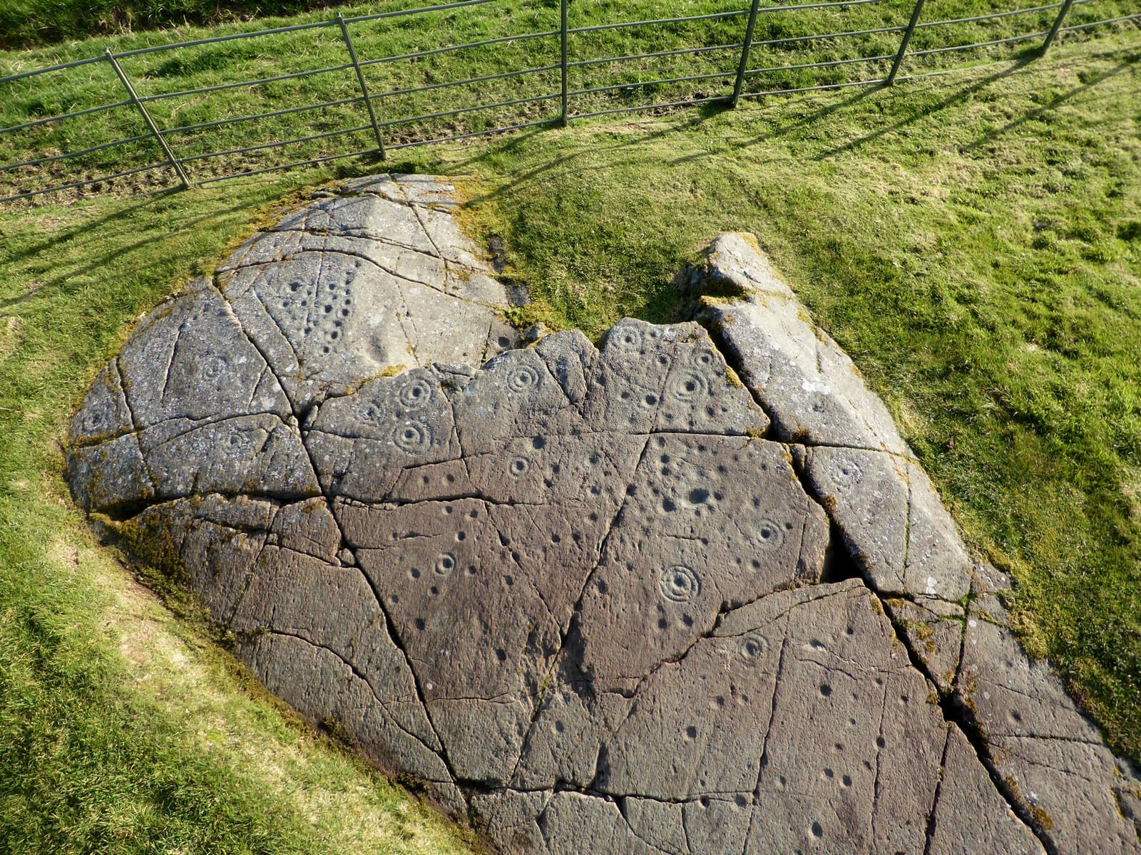
Baluachraig Cup and Ring Marks
Kilmartin, Argyll and Bute, United Kingdom
On exposed rock outcrops in Kilmartin Glen, Neolithic hands pecked cup-shaped hollows and concentric rings into the stone some five thousand years ago....

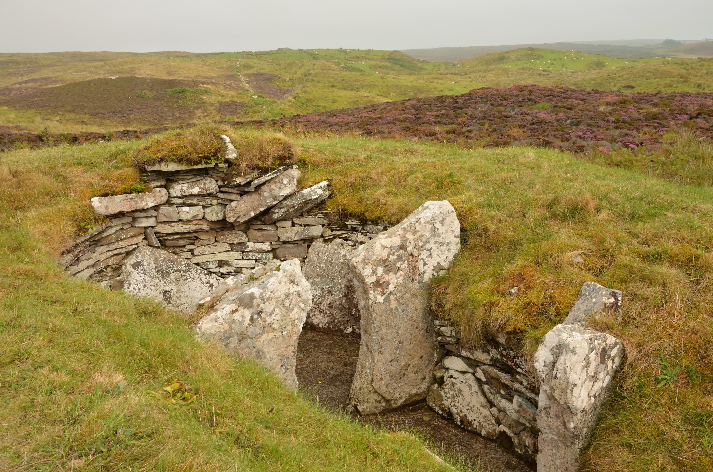
Banks Chambered Tomb
South Ronaldsay, Orkney Islands, United Kingdom
On the windswept southern tip of South Ronaldsay, a Neolithic community quarried a tomb from solid bedrock and used it for three centuries to bury their dead....
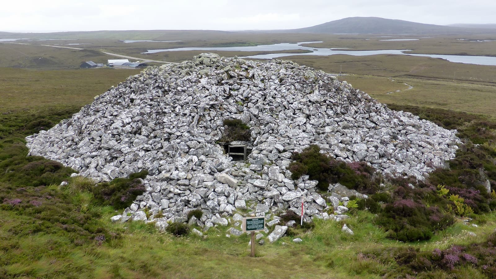
Barpa Langass
Lochmaddy, United Kingdom
On the western flank of Ben Langass, a massive dome of stone rises from the moorland of North Uist....
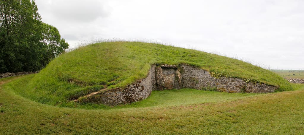
Belas Knap Long Barrow
Tewkesbury, England, United Kingdom
On a Cotswold ridge, 5,800 years of presence wait in a grassy mound 178 feet long....
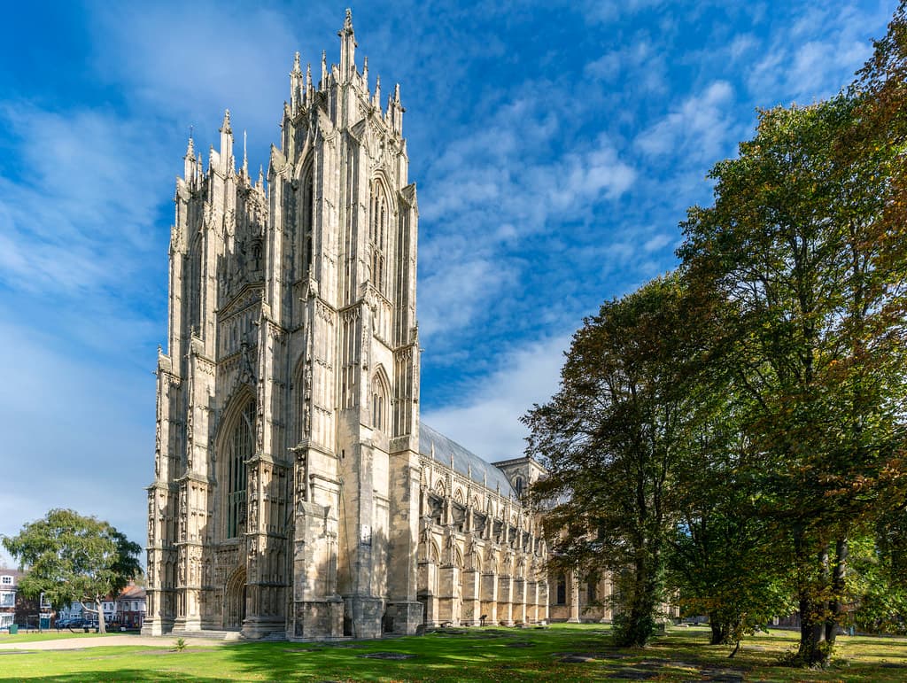
Beverley Minster
Beverley, East Riding of Yorkshire, United Kingdom
Rising from the market town of Beverley in East Yorkshire, this Gothic minster has witnessed over 1,300 years of continuous worship since St John of Beverley founded a...

Black Prince's Well
Harbledown, Harbledown, Kent, United Kingdom
A medieval healing spring on the hillside of Harbledown, the Black Prince's Well is the last sacred stop on the Pilgrim's Way before Canterbury Cathedral appears on the...

Blackhammer Chambered Cairn
Rousay, Orkney Islands, United Kingdom
On Rousay's southern coast, a short walk from the road, Blackhammer Chambered Cairn sits beneath its modern protective shelter....

Bodowyr Dolmen
Llangaffo, Cymru / Wales, United Kingdom
In a quiet farmer's field on Anglesey, three standing stones bear a mushroom-shaped capstone that has marked this hilltop for over five thousand years....
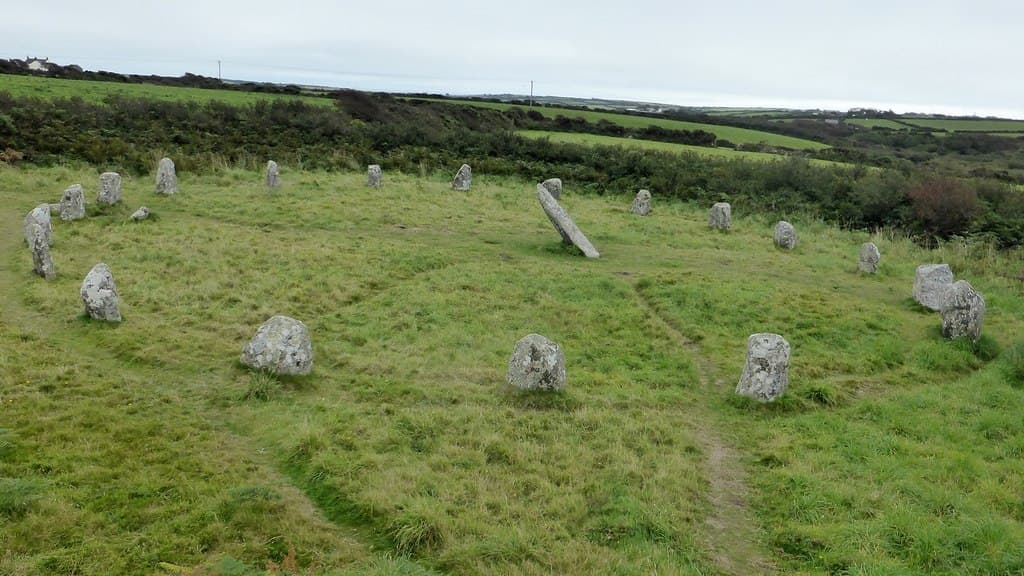
Boscawen-un Stone Circle
St Buryan, Cornwall, United Kingdom
In the fields near St Buryan in Cornwall, nineteen granite stones form an ellipse around a leaning central pillar bearing axe carvings found nowhere else in Britain....

Boxley Abbey
Boxley, Boxley, Kent, United Kingdom
Boxley Abbey was a Cistercian house on the Pilgrim's Way that housed the Rood of Grace, a life-size articulated crucifix believed by medieval pilgrims to move its eyes and...
Bride's Mound
Glastonbury, Somerset, United Kingdom
Behind an industrial estate on Glastonbury's western edge, a small mound rises from a field. Few visitors find it....
Brisworthy Stone Circle
Shaugh Prior, Devon, United Kingdom
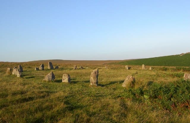
On the windswept heights of Ringmoor Down, twenty-four weathered granite stones mark a space where Bronze Age communities gathered four thousand years ago....

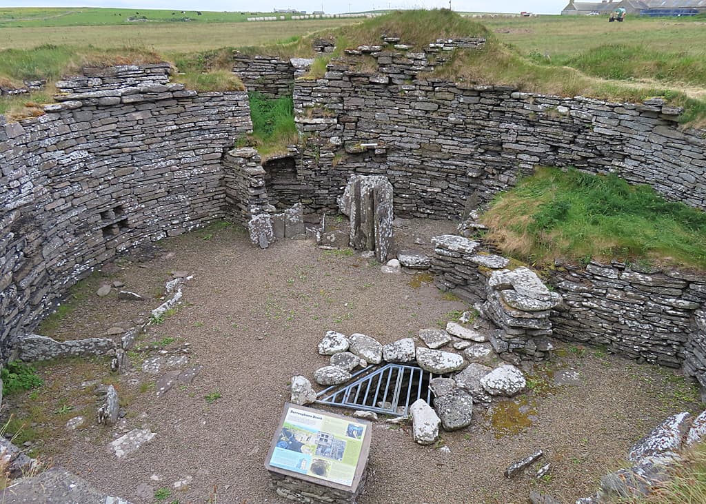
Broch of Borwick
Sandwick, Orkney Islands, United Kingdom
The Broch of Borwick stands on a crumbling headland above the Atlantic on Orkney's west coast, a stone tower built around 500 BC and occupied for over a thousand years....

Broch of Burrian
North Ronaldsay, Orkney Islands, United Kingdom
At the southernmost tip of North Ronaldsay, Orkney's most remote inhabited island, the remains of an Iron Age broch stand on a low rocky promontory....

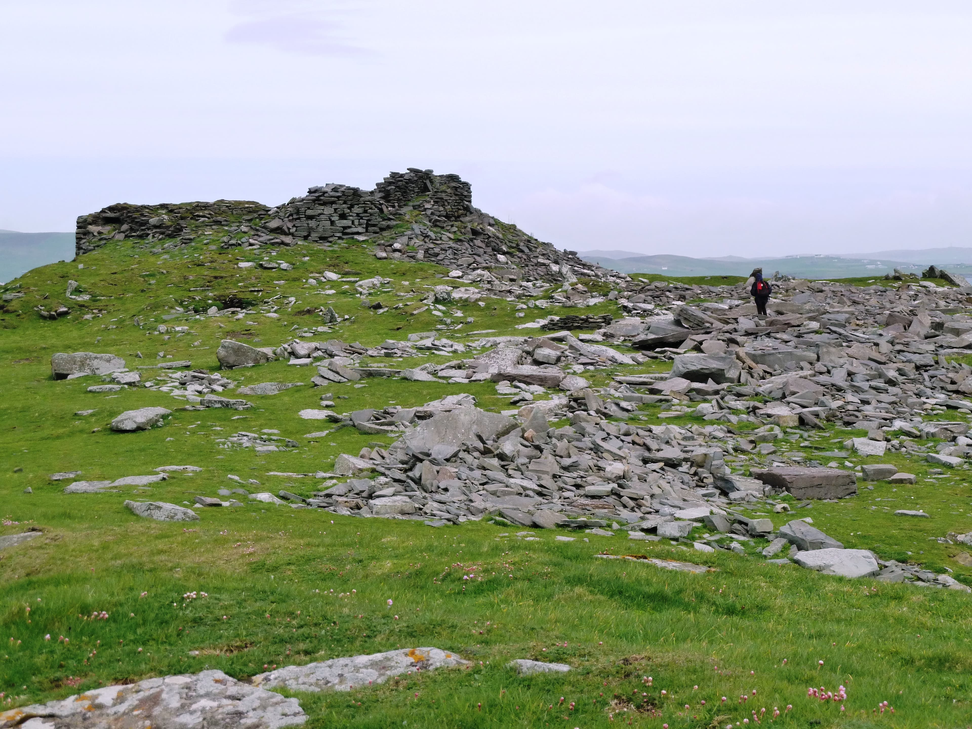
Broch of Clickimin
Lerwick, United Kingdom
On a small islet in Clickimin Loch, within walking distance of Lerwick, stands a broch complex spanning nearly 2,000 years of continuous habitation....

Broch of Gurness
Evie, Orkney Islands, United Kingdom
The Broch of Gurness rises from a rocky promontory on Orkney's northwest coast, overlooking the turbulent waters of Eynhallow Sound....
Broch of Mousa
Mousa, Shetland, United Kingdom
On the small, uninhabited island of Mousa in Shetland, a stone tower has stood for over two thousand years almost exactly as its builders left it....

Brora Pictish Cairn
Brora, Sutherland, United Kingdom
On the hills above the coastal town of Brora in Sutherland, a cairn attributed to the Pictish period stands as one of the least-documented monuments in a landscape dense...

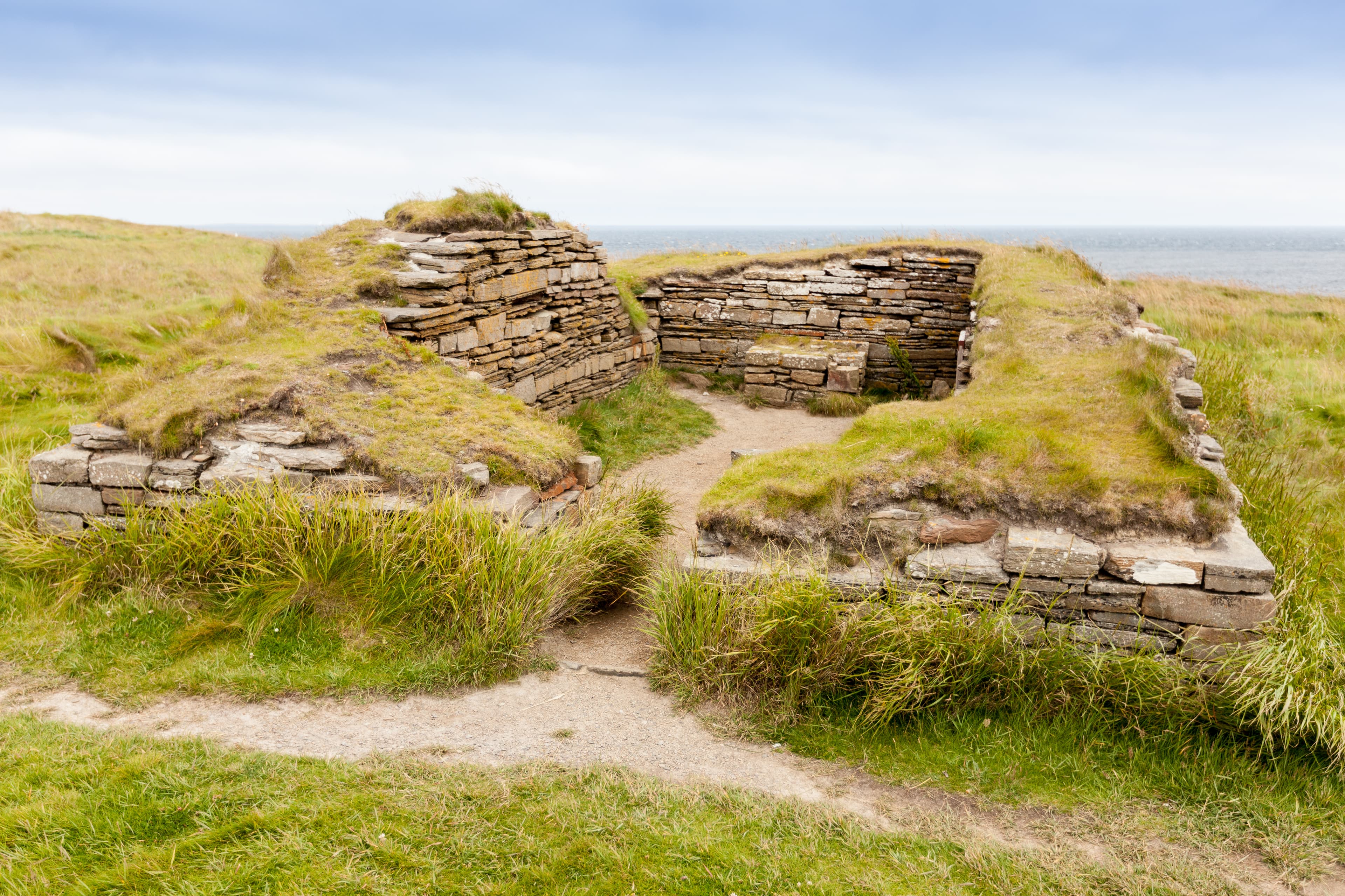
Brough of Birsay
Birsay, Orkney Islands, United Kingdom
The Brough of Birsay rises from the sea off the northwest coast of Orkney, reachable only when the tide withdraws....
Brough of Deerness Chapel
Deerness, Orkney Islands, United Kingdom
On the eastern tip of Orkney's Mainland, a grass-topped promontory rises from the North Sea, connected to the land by a narrow neck of eroded rock....

Bruan Broch
Lybster, Caithness, United Kingdom
On a low rise beside the A99 in Scotland's far north, a grass-covered mound conceals the remains of an Iron Age broch....
Burraland Broch
Trondra, Shetland, United Kingdom
On the eastern coast of Mainland Shetland, the ruins of Burraland Broch stand on a promontory above Mousa Sound....
Burroughston Broch
Shapinsay, Orkney Islands, United Kingdom
At the northeastern corner of Shapinsay, far from the island's small settlement, Burroughston Broch stands on a hillock above the sea....
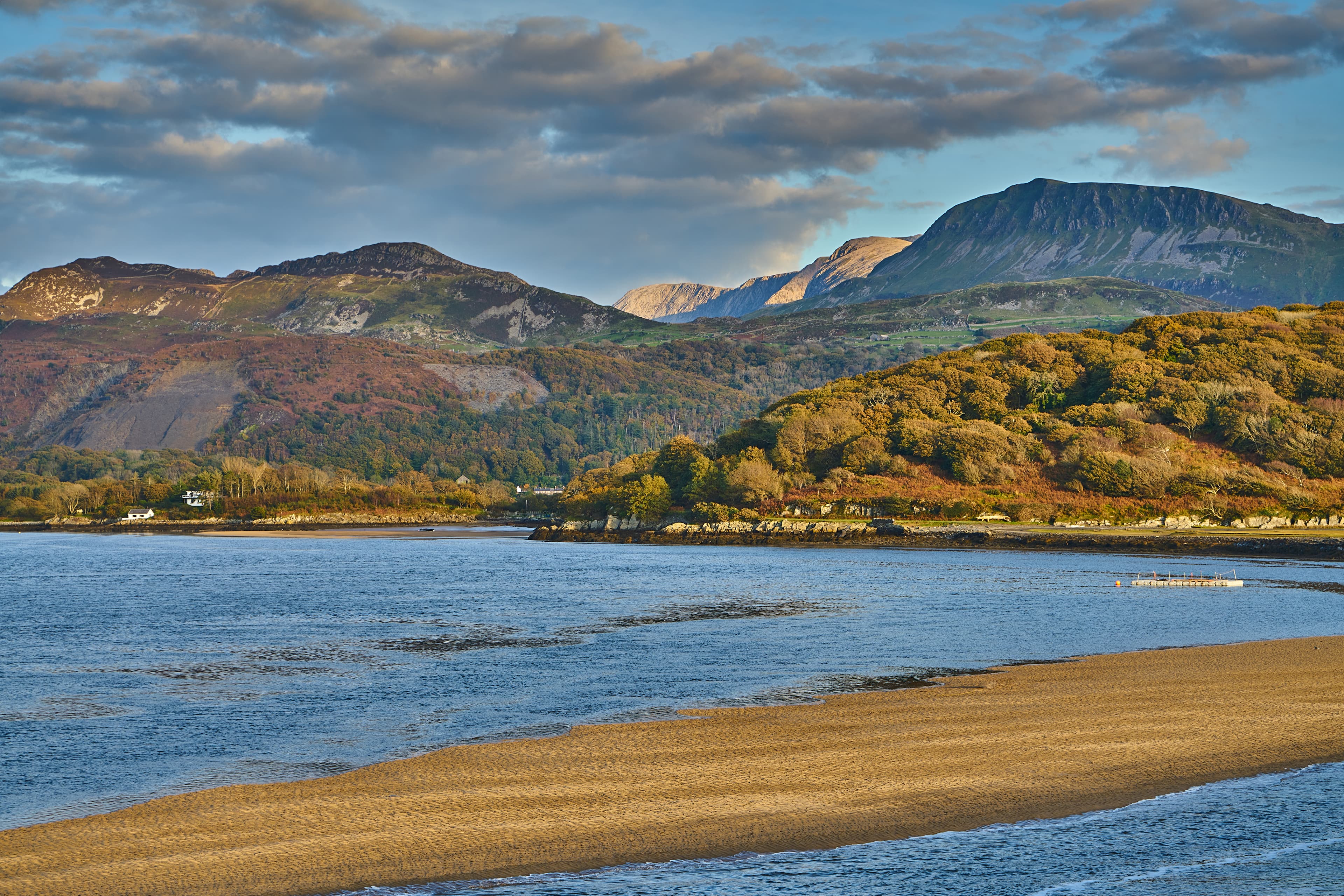
Cadair Idris
Dolgellau, Cymru / Wales, United Kingdom
Rising above southern Snowdonia, Cadair Idris has drawn seekers for centuries with its promise of transformation....
Cairn of Get
Ulbster, Alba / Scotland, United Kingdom
On a windswept hillside in Scotland's far north, a stone chamber has held its silence for over five thousand years....
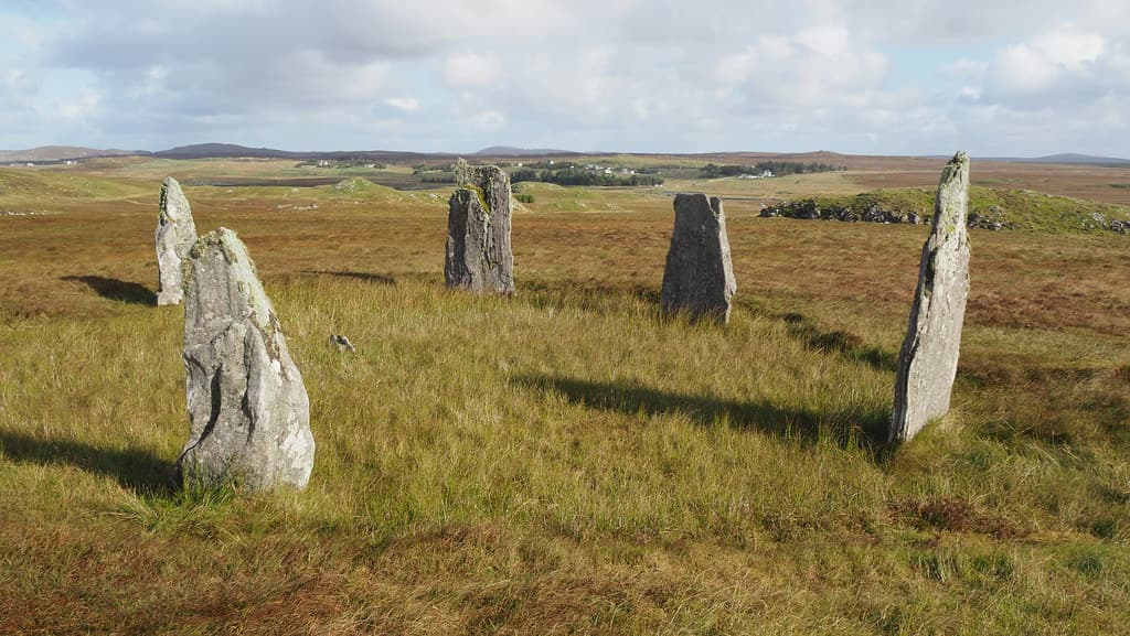
Callanish 4 Stone Circle
Callanish, United Kingdom
On rising ground above Loch Ceann Hulabhig, five standing stones of Lewisian gneiss form a quiet oval around a small burial cairn....
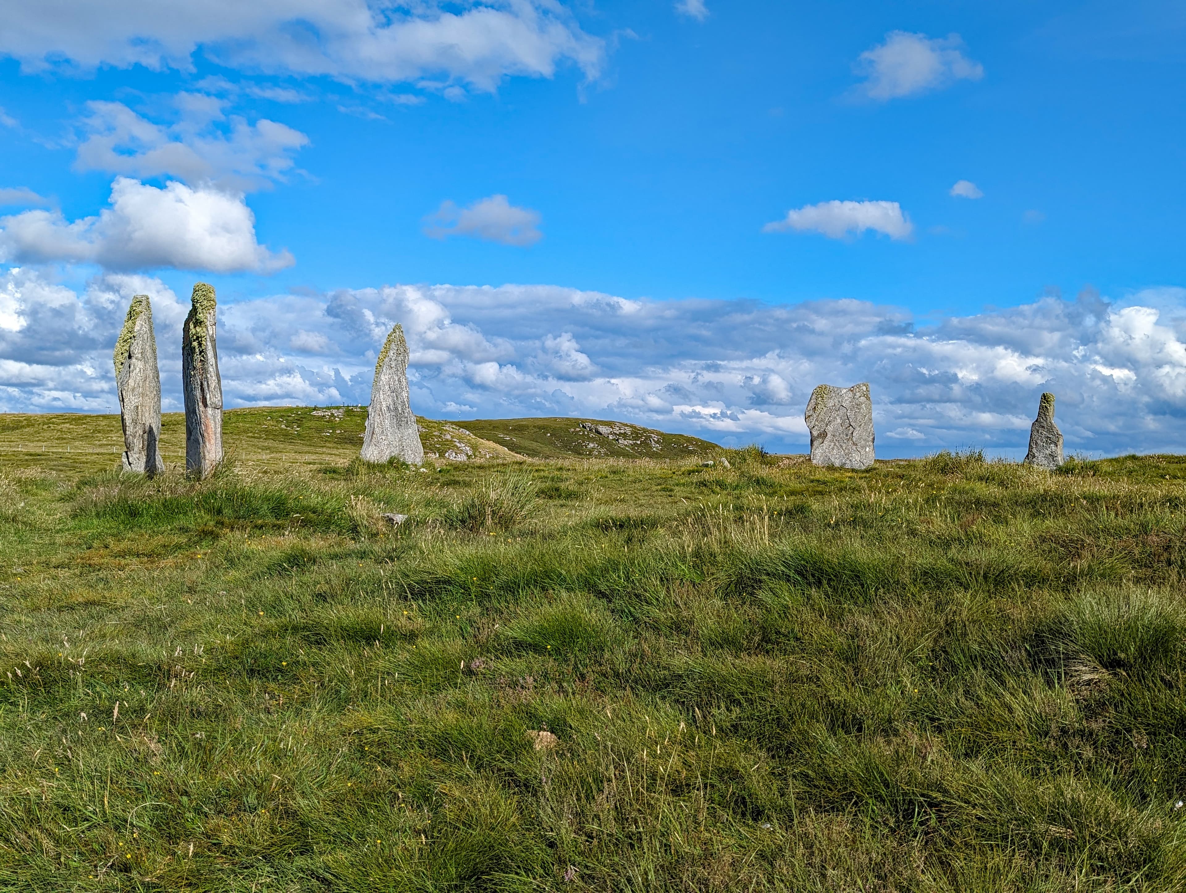
Callanish II Stone Circle
Callanish, United Kingdom
On a low ridge overlooking East Loch Roag, five standing stones and two fallen slabs trace an ellipse that once held ten uprights around a central cairn....
Callanish Standing Stone Circle
Callanish, United Kingdom
On the Atlantic edge of Lewis, thirteen standing stones form a circle older than the main phase of Stonehenge....

Callanish Stone Circle 8
Callanish, United Kingdom
On the southern coast of Great Bernera, three standing stones and one fallen companion form a semicircle at the edge of a sheer cliff above Loch Roag....
Callanish Stone Circle III
Callanish, United Kingdom
On a low ridge southeast of the main Callanish Stones, a double concentric ring of Lewisian gneiss has stood for nearly five thousand years....

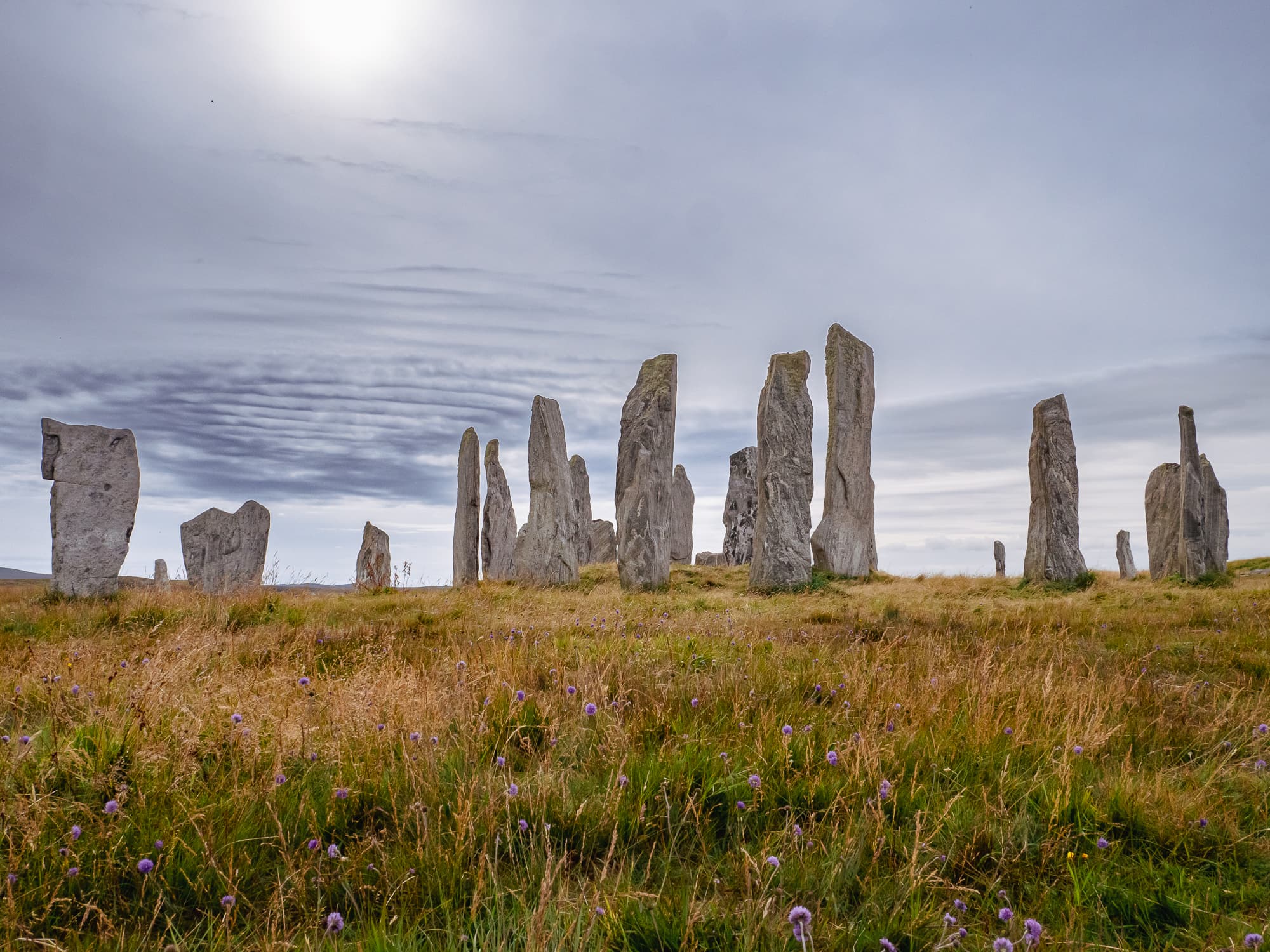
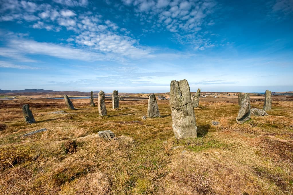
Callanish Stones
Callanish, Isle of Lewis, United Kingdom
On the western edge of Lewis, where the Atlantic meets the Outer Hebrides, the Callanish Stones rise from a ridge above Loch Roag....

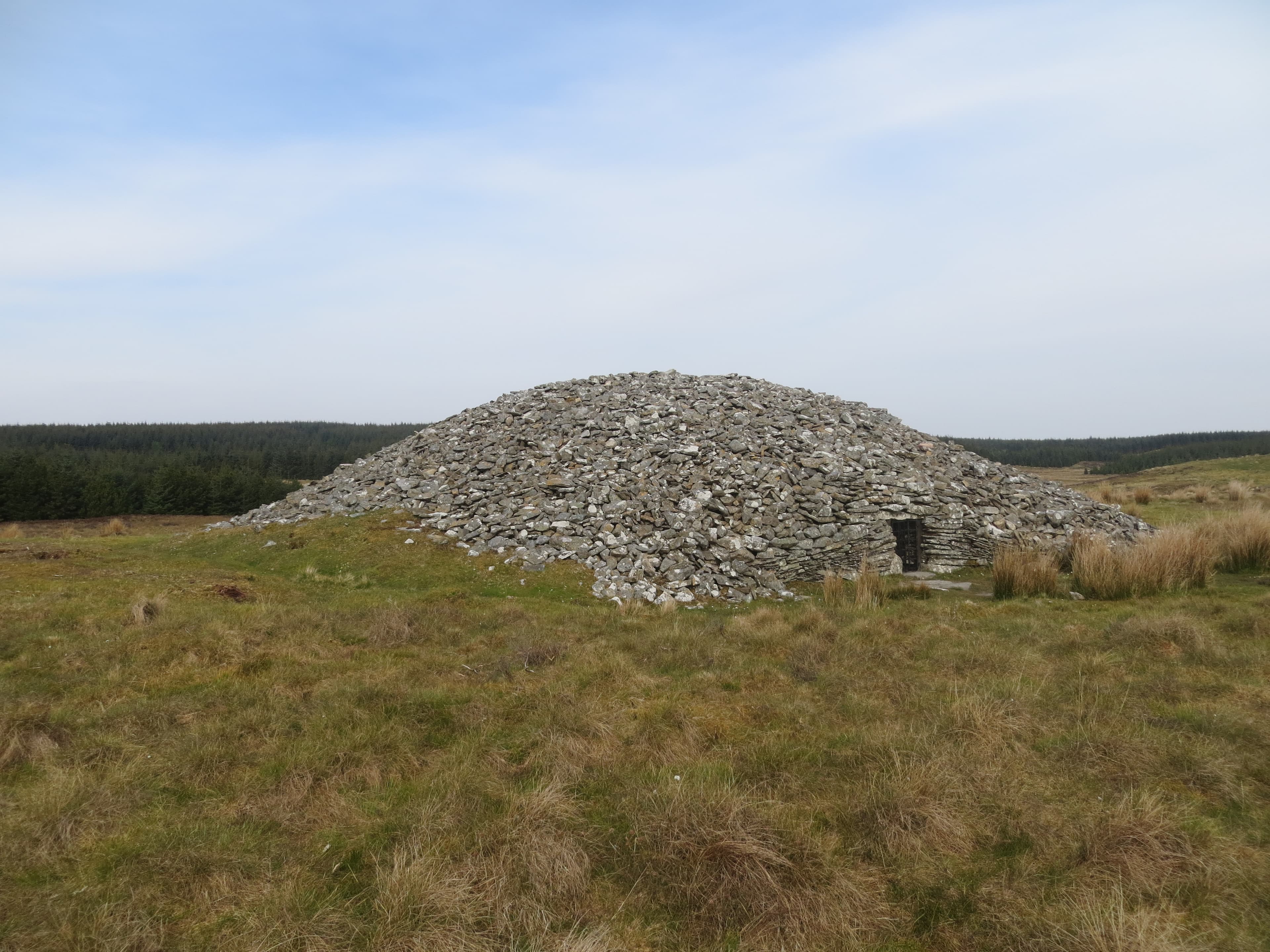
Camster Cairns
Lybster, Alba / Scotland, United Kingdom
On the windswept peatlands of Caithness, two stone cairns rise from the heather as they have for over five thousand years....
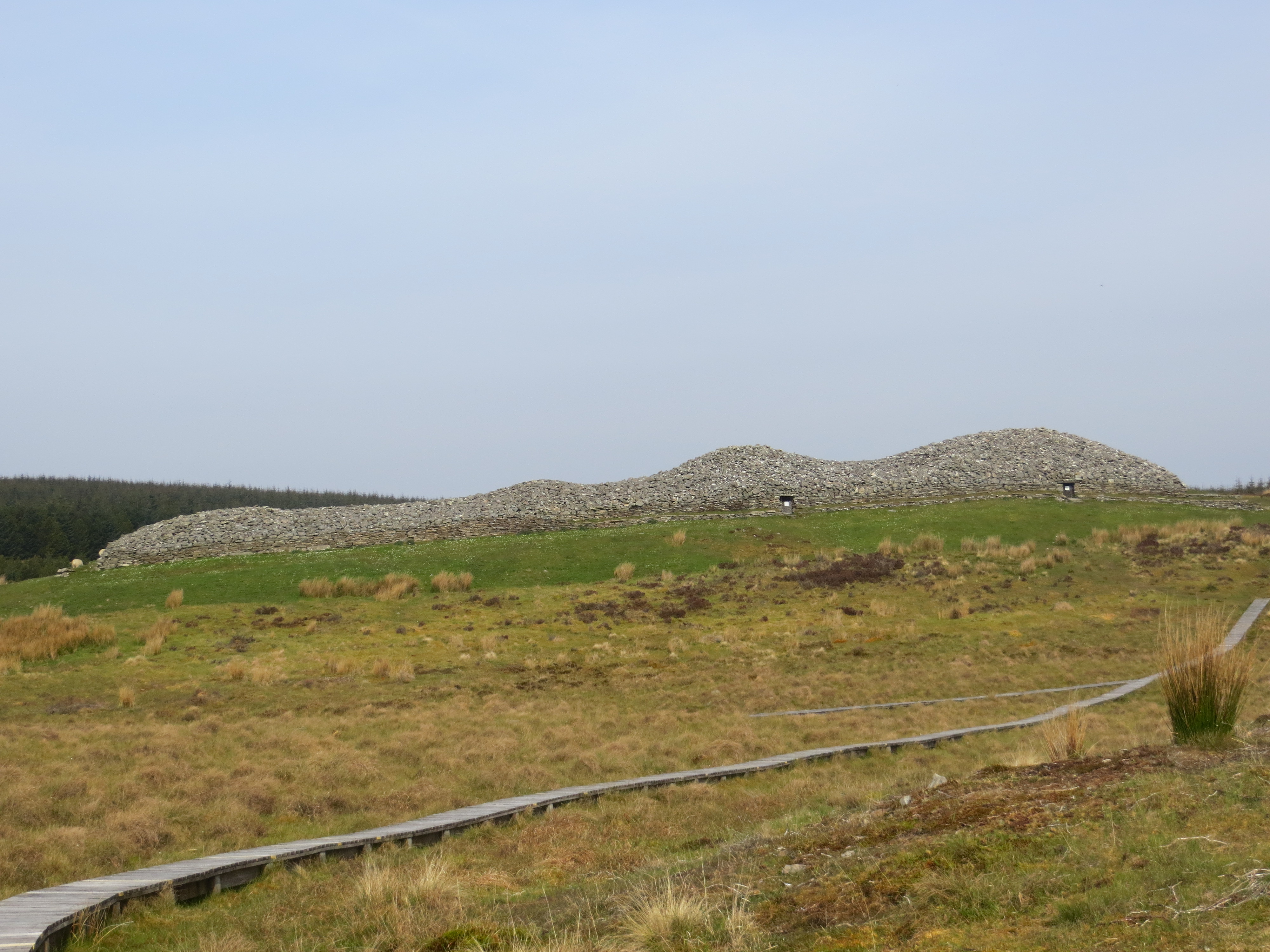
Camster Cairns - The Long Cairn
Lybster, Caithness, United Kingdom
Camster Long rises from the open peatland of Caithness like a stone vessel set down on the moor and forgotten by all but the wind....
Camster Cairns - The Round Cairn
Lybster, Caithness, United Kingdom
On the peatlands of Caithness, a circular mound of grey stone rises from the heather....
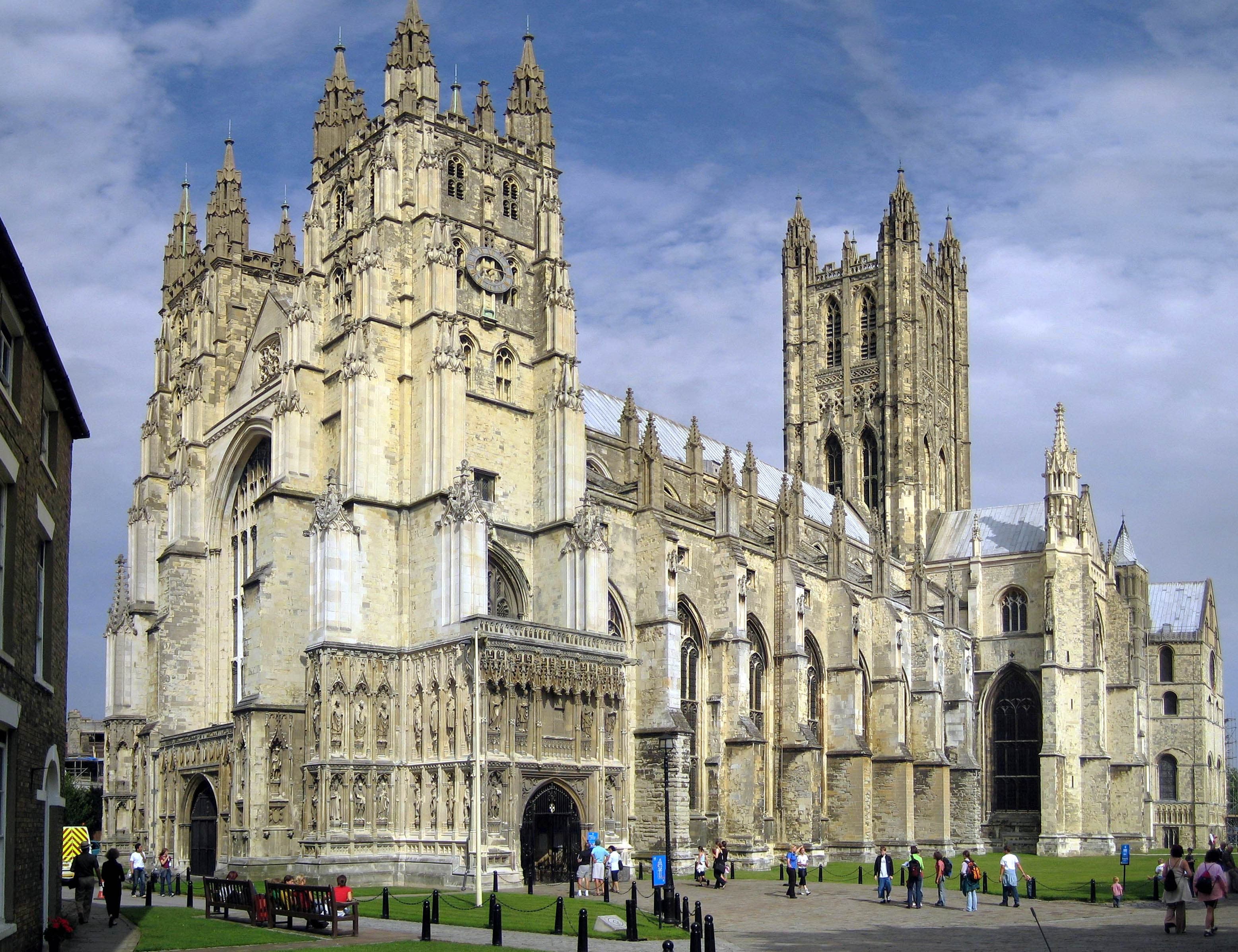
Canterbury Cathedral
Canterbury, England, United Kingdom
Canterbury Cathedral stands at the end of the Pilgrim's Way as the seat of the Archbishop of Canterbury and the site of Thomas Becket's martyrdom in 1170....
Carn Ingli
Newport, Cymru / Wales, United Kingdom
Rising above the ancient town of Newport in Pembrokeshire, Carn Ingli takes its name from the 6th-century saint Brynach, who climbed to this rocky summit to pray and there...
Showing 1-48 of 273 sites
Key questions
United Kingdom sacred-site questions
- What sacred sites can I explore in United Kingdom?
- Pilgrim Map lists sacred places in United Kingdom across living worship sites, heritage landmarks, pilgrimage destinations, and culturally significant landscapes. The current guide lists 272 sites organized by region, tradition, and site type.
- Which traditions are represented in United Kingdom?
- The most represented traditions include Christianity, Celtic and Prehistoric, Multi-faith, Prehistoric, Nature Spirituality, Indigenous.
- How should I plan a sacred-site visit in United Kingdom?
- Start with regional clusters, compare nearby places on the map, then open individual site pages for coordinates, etiquette, and sacred context where available.
- Can I view United Kingdom sacred sites on a map?
- Yes. Switch to map view to compare geographic clusters, then open individual site pages for coordinates, visiting context, and related places.