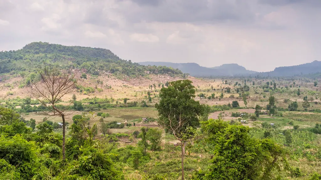
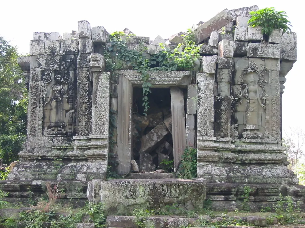
LiDAR
Regional LiDAR survey mapped Beng Mealea
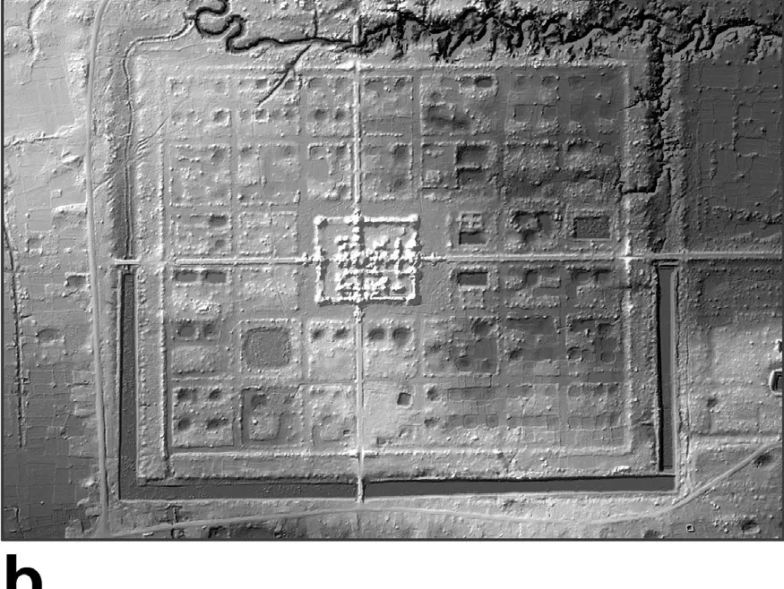
Damian Evans's 2016 synthesis uses airborne-laser-scanning imagery to document the Beng Mealea temple-city within a comparative study of Cambodian archaeological landscapes.
Why it matters: The bare-earth model makes low-relief occupation and water-management features more legible, but it does not replace field verification or establish speculative chronologies.