Tradition guide
Shinto and Shingon Buddhist sacred-landscape tradition
Shinto and Shingon Buddhist sacred-landscape tradition sites connect places through shared lineage, practice, story, and pilgrimage across the global atlas.
2 sacred places share this lineage. Use the country links to narrow in.
Atlas summary
Shinto and Shingon Buddhist sacred-landscape tradition sacred sites overview
Shinto and Shingon Buddhist sacred-landscape tradition sacred sites connect places through shared lineage, ritual use, memory, and pilgrimage practice across the Pilgrim Map atlas.
Use this page to compare country clusters, common place types, UNESCO-tagged landmarks, and the map distribution before exploring individual site pages.
| Coverage | 2 Shinto and Shingon Buddhist sacred-landscape tradition sacred places in the current atlas. |
|---|---|
| Country clusters | |
| UNESCO heritage | 2 UNESCO-tagged Shinto and Shingon Buddhist sacred-landscape tradition sites appear in this browse view. |
By country
Refine the atlas
Related Shinto and Shingon Buddhist sacred-landscape tradition guides
Showing 1-2 of 2 sites in this tradition guide
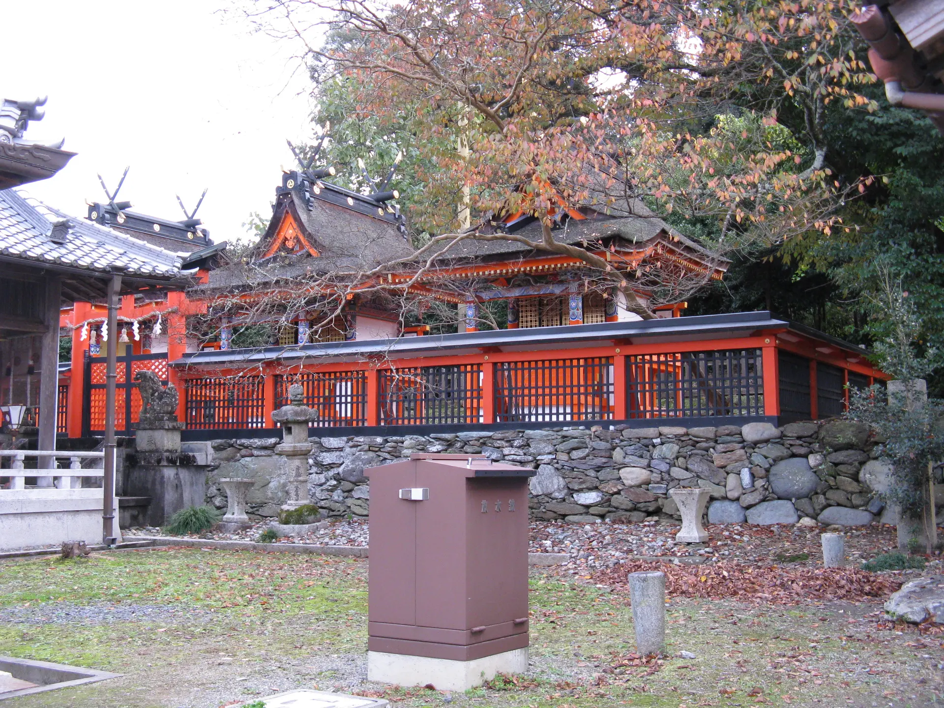
Niukanshofu Shrine
Kudoyama, Wakayama Prefecture, Japan
Niukanshofu Shrine (丹生官省符神社) is the shrine immediately associated with Jison-in at the beginning of the Choishi-michi approach.
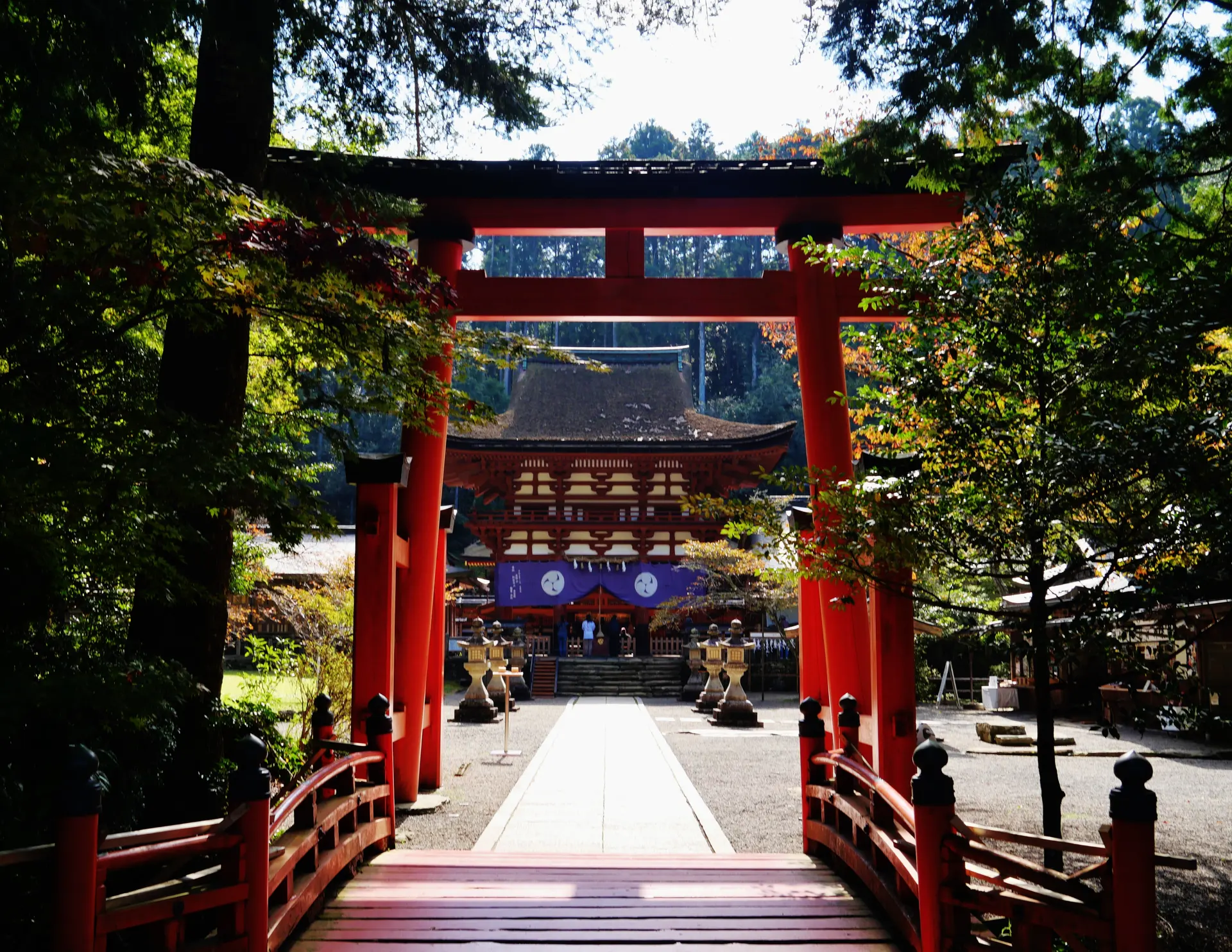
Niutsuhime Shrine
Katsuragi, Wakayama Prefecture, Japan
Niutsuhime Shrine (丹生都比売神社) is a major shrine of the Kii sacred landscape connected with Koyasan and reached on a documented branch or detour from Choishi-michi.
Key questions
Shinto and Shingon Buddhist sacred-landscape tradition sacred-site questions
What are Shinto and Shingon Buddhist sacred-landscape tradition sacred sites?
Shinto and Shingon Buddhist sacred-landscape tradition sacred sites are places connected by shared lineage, practice, memory, ritual use, or pilgrimage tradition.
Where can I find Shinto and Shingon Buddhist sacred-landscape tradition sacred sites?
The strongest country clusters in this guide include Japan.
What kinds of places are included?
The guide includes sacred landscapes, pilgrimage places, and ritual or historical sites where available.
Can I map Shinto and Shingon Buddhist sacred-landscape tradition sacred sites?
Yes. Compare country clusters and physical forms first, then open individual pages for coordinates, historical context, and visitor guidance.