Hemite Relief
A Hittite warrior-prince carved into a riverside cliff, marking where empire met the sacred boundary of river and world
Gökçedam / former Hemite, Osmaniye, Mediterranean Region, Turkey

Plan this visit
Practical context before you go
Allow 1–2 hours including the walk from the village to the riverbank cliff and time for careful observation.
Gökçedam village (formerly Hemite), central district of Osmaniye Province, approximately 20 km northwest of Osmaniye city. Access via provincial roads to Gökçedam, then on foot to the riverside cliff. Mobile phone signal may be limited in the river valley; inform others of your plans before visiting. No formal visitor infrastructure or emergency services at the site. For current access conditions, contact the Osmaniye Provincial Culture and Tourism Directorate.
An open riverside archaeological site where care for the carved surface and respect for the natural setting are the primary responsibilities.
At a glance
- Coordinates
- 37.1844, 36.0932
- Type
- Hittite Rock Relief
- Suggested duration
- Allow 1–2 hours including the walk from the village to the riverbank cliff and time for careful observation.
- Access
- Gökçedam village (formerly Hemite), central district of Osmaniye Province, approximately 20 km northwest of Osmaniye city. Access via provincial roads to Gökçedam, then on foot to the riverside cliff. Mobile phone signal may be limited in the river valley; inform others of your plans before visiting. No formal visitor infrastructure or emergency services at the site. For current access conditions, contact the Osmaniye Provincial Culture and Tourism Directorate.
Pilgrim tips
- No religious requirement. Practical outdoor clothing for riverside terrain; non-slip footwear recommended.
- Permitted. Morning light, when the east-facing cliff is directly illuminated, produces the best conditions for photographing the carved figure.
- Do not touch or lean against the carved surface. The riverbank terrain can be unstable and the cliff approach requires care; do not attempt to climb toward the relief.
Overview
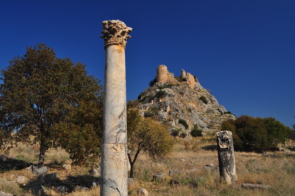
On the north bank of the Ceyhan River in Osmaniye Province, a 13th-century BC Hittite warrior-prince gazes outward from the cliff face above the water. Carved as the region transitioned from Hittite Anatolia toward the Levantine sphere, the Hemite Relief asserts royal and divine legitimacy at a frontier threshold — a boundary not just of territory but of the sacred geography the Hittites understood as the living world.
The Ceyhan River — ancient Pyramos — flows south toward the Mediterranean through the gap between the Amanus Mountains and the Taurus range. In the 13th century BC, this river valley was a major route by which the Hittite Empire projected power toward northern Syria and Cilicia. The Hemite Relief stands on the north bank of this river, cut into a steep east-facing cliff that catches the morning sun: a Hittite warrior-prince, 1.75 meters of carved stone, holding his spear, bow across his shoulder, a crescent-hilted sword at his waist, his round headdress precise.
The prince is named in a two-line Hieroglyphic Luwian inscription as '...-Tarhunta, son of Prince Tarhuntapiya.' The first element of his name is damaged and lost. He is a fragment of a dynasty — identified, partially erased, still present.
Hittite warrior reliefs along strategic routes were not simply territorial signposts. They were assertions of divine sanction: the warrior-god's power transmitted through royal lineage, manifested in the landscape itself. Positioned here, where the river valley opened toward Syria, the Hemite Relief declared that this boundary was divinely witnessed. It belongs to a coherent programme of Hittite monumental assertion along the Amanus corridor, closely paralleling the Hanyeri and Sirkeli reliefs carved by the same empire along the same routes.
Context and lineage
The inscription on the Hemite Relief follows the standard Hittite dedicatory formula of lineage assertion: '...-Tarhunta, son of Prince Tarhuntapiya.' The first element of the prince's name is damaged and cannot be read. This standard formula — naming oneself and one's father — was both a statement of identity and a declaration of legitimacy: I am of this lineage, therefore I have the right to speak divine names and mark this land.
The relief's similarity to the Hanyeri Relief (in Adana Province) and the Sirkeli Relief (also in Adana Province) indicates not coincidental resemblance but a deliberate imperial programme. The 13th century BC Hittite state systematically marked the Amanus corridor — the mountain and river system separating Anatolia from Syria — with warrior-prince reliefs asserting Hittite divine-royal presence at its key passages.
The Hemite Relief belongs to the tradition of Hittite frontier warrior-prince reliefs, a specifically 13th-century BC practice of asserting royal and divine power at strategic landscape passages through monumental carving. Its closest comparanda are the Hanyeri Relief (a warrior-god standard-bearer) and the Sirkeli Relief on the Ceyhan River to the west, both carved during the same imperial period and expressing the same programme of divine-territorial assertion.
Prince ...-Tarhunta, son of Prince Tarhuntapiya
Dedicant depicted in the relief; Hittite royal prince whose first name element is damaged in the inscription
Helmuth Theodor Bossert
First described the relief, 1946
Alfonso Archi
Provided the first detailed scholarly description
Why this place is sacred
In Hittite religious thought, rivers were not merely geographical features. They were inhabited by divine powers — protective and chthonic — that required acknowledgment and propitiation. Cliffs above rivers concentrated this quality: the elevation gave the divine image visibility and dominance; the water below enacted the threshold between the living world and the realm below.
The Hemite Relief's east-facing cliff catches the first light of morning, so the carved figure is illuminated at dawn while the valley below is still in shadow. Whether this orientation was intentional — and in Hittite monumental practice, orientation was rarely accidental — it creates a daily reenactment of the prince's elevation above ordinary travelers.
The prince's name contains the element Tarhunta, the storm god who was the supreme deity of the Hittite world. Naming oneself after the storm god, or invoking him through one's name, was a form of alignment with divine power. The warrior figure here is not merely a political assertion; it is the claim that royal martial power and divine storm power belong to the same order of the world.
To assert Hittite royal authority, divine sanction, and territorial claim at a strategic frontier river crossing — the Ceyhan valley route from Anatolia to Syria.
Hittite imperial religion at the site ended with the empire's collapse around 1200 BC. The village came to be called Hemite (now Gökçedam), retaining no specific memory of the Hittite religious meaning of the carving. The relief was first described by Helmuth Theodor Bossert in 1946 and has since been catalogued within the corpus of 13th-century BC Hittite frontier monuments. The surrounding landscape has changed dramatically — dams and irrigation have altered the river — but the cliff face and the carved figure remain.
Traditions and practice
Warrior-god reliefs along strategic Hittite routes were associated with oath-taking and military ritual: the warrior-god as divine witness to pledges made at the threshold of territorial passage. The inscription's dedicatory formula suggests formal priestly or royal utterance at the time of carving — the prince naming himself before the river and the cliff, before the storm god whose element is in his name.
No active religious practice is associated with the site. Academic and heritage visits constitute the primary contemporary engagement.
Approach the cliff from the riverbank and spend time at a middle distance before moving close. The figure was designed to be seen from below — from the perspective of a traveler beside the river — and reads differently at different distances. From ten meters back, the warrior's posture and attributes are clear as a composition. Closer, the specificity of the carvings — the sword hilt, the headdress, the bow's angle — become individual. Listen to the river throughout. The sound of the Ceyhan is not incidental to this place; it was the reason for this place. The prince was stationed here because the river required watching over.
Hittite imperial religion
HistoricalThe relief commemorates a Hittite prince in the iconographic language of the warrior-god, asserting royal and divine legitimacy at a frontier river passage in the 13th century BC. It belongs to a deliberate programme of monumental assertion along the routes from Anatolia to northern Syria and Cilicia.
Royal-divine dedicatory ceremonies; martial oath rituals at frontier thresholds; invocation of the storm god through the prince's theophoric name (Tarhunta).
Archaeological heritage
ActivePart of the network of Late Bronze Age Hittite frontier reliefs in southern Anatolia; documents Hittite imperial expansion in the 13th century BC and the religious ideology that accompanied military and territorial activity.
Academic fieldwork, iconographic analysis, heritage registration in the Turkish Cultural Inventory.
Experience and perspectives
The approach to Gökçedam village follows the Ceyhan River valley. The river here has been modified by modern water infrastructure, but the valley retains its character: steep walls, the sound of moving water, the sense of a passage between regions rather than a destination in itself.
The cliff face is steep and east-facing, and the relief is set into it at a height that ensures the figure dominates anyone approaching from the riverbank. Stand below it and look up: the warrior has been oriented to be seen from the water, from the path beside the river, from the perspective of someone traveling toward Syria or returning from it. He is not intimate. He is elevated, declarative, facing left — the conventional direction of authority in Hittite visual culture.
The figure's details reward sustained attention. The crescent-hilted sword at his waist is a weapon of status. The bow over his left shoulder indicates martial readiness. The round headdress with its earring is precisely rendered. These are not generalizations of warrior power but specific attributes of a specific royal identity — a prince who is partially erased and partially preserved, still readable despite the missing first element of his name.
The Ceyhan River below is audible throughout. In antiquity this sound was the sound of the boundary: the river that travelers crossed to enter the Levantine sphere, watched over by the divine-warrior prince above.
Access via roads to Gökçedam village (formerly Hemite) in the central district of Osmaniye Province, then on foot to the riverbank cliff. The site is approximately 20 km northwest of Osmaniye city. There is no formal visitor infrastructure; practical outdoor footwear is required for uneven riverside terrain.
The Hemite Relief is interpreted through several lenses — as a component of imperial frontier policy, as an expression of divine-warrior theology, and as a partial survival from a world whose full context is lost. Each perspective reveals something different about what it means to find a 3,000-year-old warrior still watching the river.
Scholars situate the Hemite Relief within the well-documented 13th-century BC Hittite programme of monumental assertion along the Amanus corridor and the Ceyhan River valley. The relief's iconography — warrior posture, specific weapons, headdress — closely parallels the Hanyeri and Sirkeli reliefs, and all three are understood as expressions of the same imperial strategy: physically marking the routes from Anatolia to northern Syria with the divine-royal presence of the Hittite state. The fragmentary inscription fits standard dedicatory formulae.
No specific religious tradition survives at Gökçedam related to the Hittite function of the relief. The village's renaming from Hemite to Gökçedam represents one layer of the site's long history of reception without specific memory.
The warrior-god's martial posture at a river crossing has attracted interest from those studying the persistence of river-guardian traditions across cultures. The relief's position — elevated, facing the water — fits patterns found in many traditions of marking sacred boundaries with protective figures.
The first element of the prince's name remains unread. The precise political circumstances of the relief's commission — which king ordered it, under what strategic conditions, and whether it replaced an earlier marker — are unknown. Whether specific ritual practices were performed here, or whether the carving itself was understood as the primary ritual act, cannot be determined.
Visit planning
Gökçedam village (formerly Hemite), central district of Osmaniye Province, approximately 20 km northwest of Osmaniye city. Access via provincial roads to Gökçedam, then on foot to the riverside cliff. Mobile phone signal may be limited in the river valley; inform others of your plans before visiting. No formal visitor infrastructure or emergency services at the site. For current access conditions, contact the Osmaniye Provincial Culture and Tourism Directorate.
Osmaniye city (~20 km) offers accommodation options. Adana city (~80 km west) has the widest range of lodging for a multi-site itinerary.
An open riverside archaeological site where care for the carved surface and respect for the natural setting are the primary responsibilities.
No religious requirement. Practical outdoor clothing for riverside terrain; non-slip footwear recommended.
Permitted. Morning light, when the east-facing cliff is directly illuminated, produces the best conditions for photographing the carved figure.
None expected or appropriate.
Do not touch the carved surface. Do not attempt to access the cliff face above the relief. Respect the natural riverbank environment.
Nearby sacred places
Sacred places within a half-day’s reach. Pilgrims often visit them together: walk one, stay for the other.

References
Sources consulted when researching this page. Independent verification by readers is welcome.
Key questions
What pilgrims usually ask
- Why is Hemite Relief considered sacred?
- A 13th-century BC Hittite warrior-prince carved on the Ceyhan riverbank in Osmaniye — frontier monument of the empire's sacred boundary programme.
- What should I wear at Hemite Relief?
- No religious requirement. Practical outdoor clothing for riverside terrain; non-slip footwear recommended.
- Can I take photos at Hemite Relief?
- Permitted. Morning light, when the east-facing cliff is directly illuminated, produces the best conditions for photographing the carved figure.
- How long should I spend at Hemite Relief?
- Allow 1–2 hours including the walk from the village to the riverbank cliff and time for careful observation.
- How do you visit Hemite Relief?
- Gökçedam village (formerly Hemite), central district of Osmaniye Province, approximately 20 km northwest of Osmaniye city. Access via provincial roads to Gökçedam, then on foot to the riverside cliff. Mobile phone signal may be limited in the river valley; inform others of your plans before visiting. No formal visitor infrastructure or emergency services at the site. For current access conditions, contact the Osmaniye Provincial Culture and Tourism Directorate.
- What offerings are appropriate at Hemite Relief?
- None expected or appropriate.
- What etiquette should visitors follow at Hemite Relief?
- An open riverside archaeological site where care for the carved surface and respect for the natural setting are the primary responsibilities.
- What is the history of Hemite Relief?
- The inscription on the Hemite Relief follows the standard Hittite dedicatory formula of lineage assertion: '...-Tarhunta, son of Prince Tarhuntapiya.' The first element of the prince's name is damaged and cannot be read. This standard formula — naming oneself and one's father — was both a statement of identity and a declaration of legitimacy: I am of this lineage, therefore I have the right to speak divine names and mark this land. The relief's similarity to the Hanyeri Relief (in Adana Province) and the Sirkeli Relief (also in Adana Province) indicates not coincidental resemblance but a deliberate imperial programme. The 13th century BC Hittite state systematically marked the Amanus corridor — the mountain and river system separating Anatolia from Syria — with warrior-prince reliefs asserting Hittite divine-royal presence at its key passages.