Menhir de Champ-Dolent
Brittany's second-tallest menhir, said to have fallen from the sky to stop a fratricide, slowly sinking until the end of the world
Understand sacred places, explore living traditions, and learn how to engage respectfully with Pilgrim Map.
Access has not been verified. Check current local guidance before planning a visit.
Dol-de-Bretagne, Ille-et-Vilaine, France
Read the sources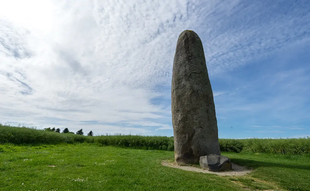
Image of Menhir de Champ-Dolent. Image source
Visit essentials
A quick read before you go
- Duration
- 30 minutes
- Access
- 2km south of Dol-de-Bretagne, signposted.
Overview
Between 5000 and 4000 BC, a community quarried 100 tonnes of pinkish granite four kilometers away and raised it skyward. Their beliefs and consecrating rituals remain unknown. The result is Brittany's second-tallest standing stone: smooth and oval, 9.5 meters above ground with another three meters buried.
One legend says the stone fell from heaven to separate two brothers nearing fratricide after their battle soaked the field—'Champ Dolent,' or Field of Sorrow—with enough blood to turn a millwheel. Divine intervention froze the violence into stone.
Another says the menhir sinks millimeter by millimeter, century by century, and the world will end when it vanishes underground. Geologists do not confirm measurable subsidence, but the apocalyptic tradition persists.
Medieval Christians placed a cross atop the powerful stone; the cross is gone, but the menhir remains. French archaeologist Joseph Déchelette called it 'one of the most beautiful menhirs in France.' It has been protected as a Historic Monument since 1889.
Why this place is sacred
What makes this stone thin is what we cannot know. Neolithic peoples hauled 100 tonnes of granite four kilometers and raised it vertical. They had reasons. They had beliefs. They had rituals that gave meaning to the labor. All of that is lost. The stone remains as evidence of conviction we cannot reconstruct.
Into that silence, legend speaks. The fratricide stopped by heaven. The blood that soaked the field. The slow sinking toward apocalypse. These are not Neolithic beliefs but medieval and modern imagination grappling with what the stone's presence demands: explanation, meaning, purpose.
The Christianization speaks similarly. When medieval people placed a cross atop the menhir, they acknowledged power they could not dismiss. What the Neolithic builders made sacred, the Christians claimed for their God. The stone's thinness predated Christianity and outlasted the cross that tried to convert it.
Seven millennia of presence in this landscape is itself a form of thinness. Empires rose and fell. Languages changed. Religions succeeded each other. The stone watched. If the legend is true—that its disappearance brings the end—then it watches still, measuring out whatever time remains.
Neolithic standing stone erected c. 5000-4000 BC; original purpose unknown
Erected c. 5000-4000 BC. Medieval Christianization (cross placed on top). Listed Historic Monument 1889.
Experience and orientation
The stone stands in a field south of Dol-de-Bretagne. The approach is easy—signposts point the way, parking is available, the field is accessible. Nothing impedes arrival. What impedes is comprehension.
Nine and a half meters of pinkish granite, smooth and oval, rise from the earth. The stone weighs 100 tonnes; another three meters lie buried. Neolithic peoples quarried this mass four kilometers away and raised it here. The effort was enormous. The reason is unknown.
Walk around it. The circumference is nearly nine meters. The surface is smooth, the color warm—pinkish granite from nearby quarries. Notice the scale in relation to your body: this stone dwarfs you, diminishes you, places you in time that extends far beyond a human life.
Consider the legends. Two brothers about to kill each other, stopped by stone falling from heaven. Blood enough to turn a millwheel. The slow sinking toward apocalypse. These are stories people tell about what they cannot otherwise explain.
Remember that a cross once stood on top—Christians claiming what they could not ignore. The cross is gone; the stone remains. It has outlasted empires. It will likely outlast nations. Whether it will outlast the world depends on which legend you believe.
Come with humility. This is older than anything you will encounter. Its purpose is lost; its presence is not.
Context and lineage
Erected between 5000 and 4000 BC—precise dating uncertain. Legend says the stone fell from heaven to separate two feuding brothers about to commit fratricide, their blood already soaking the field that gave the menhir its name: Champ Dolent, Field of Sorrow. (Linguists note that 'dolent' more likely derives from Breton 'dolenn,' meaning meadow.)
Part of Brittany's megalithic culture (c. 5000-4000 BC). Historic Monument since 1889. Connected by legend to Mont Saint-Michel (Devil's throw).
Joseph Déchelette
French archaeologist who called it 'one of the most beautiful menhirs in France'
Traditions and practice
Unknown Neolithic rituals. Medieval Christian veneration (cross placed on top).
Archaeological and cultural tourism
Visit with time for contemplation. Walk around the full circumference. Consider the effort required to raise it and the mystery of why.
Megalithic / Breton
HistoricalSecond tallest menhir in Brittany (9.5m). 100 tonnes of pinkish granite. Erected c. 5000-4000 BC. Called 'one of the most beautiful menhirs in France.' Legends of fratricide stopped, apocalyptic sinking. Historic Monument since 1889.
No active practices; visited for archaeological interest
Perspectives and open questions
The menhir can be approached as archaeological monument, as carrier of legend, or as seven millennia of presence in a landscape it has outlasted.
Scholarly perspective
Recognized as one of Brittany's finest menhirs, second tallest at 9.5m above ground. Dating to c. 5000-4000 BC. Listed Historic Monument since 1889.
Living and traditional perspectives
Breton folklore preserves legends of divine intervention (stopping fratricide), apocalyptic prophecy (world ends when stone disappears), and connection to Mont Saint-Michel.
Alternative interpretations
Some connect to ley lines or earth energies. The stone's impressive scale invites spiritual interpretation.
Open questions
Exact purpose. Original rituals. Whether the sinking legend reflects actual subsidence.
Plan your visit
Access and arrival
2km south of Dol-de-Bretagne, signposted. Parking. Free access to field.
Dol-de-Bretagne and surrounding area
Respectful visit
Outdoor clothing
Permitted
None expected
Do not climb or damage stone
The stone is protected; do not climb or damage.
Current practical details
Address
35120 Dol-de-Bretagne, France
Hours
Hours, fees, and access can change — verify on the official source before you travel. Practical details last checked Jun 2026.
Location
Map loads as you approach this section.
Pilgrim reflections
A portrait of encounter, not a score
Pilgrims describe what they felt, how present they could become, and whether the place would shape a journey. There are no stars and no ranking of traditions.
No reviewed reflections yet
The first pilgrims can help describe the character of being here.
Share a reflection
Available after an account-backed “Been there.” Every reflection is reviewed before publication.
Nearby sacred places
Explore other sacred places in the region. Proximity does not establish access or travel time; check each place’s guidance.
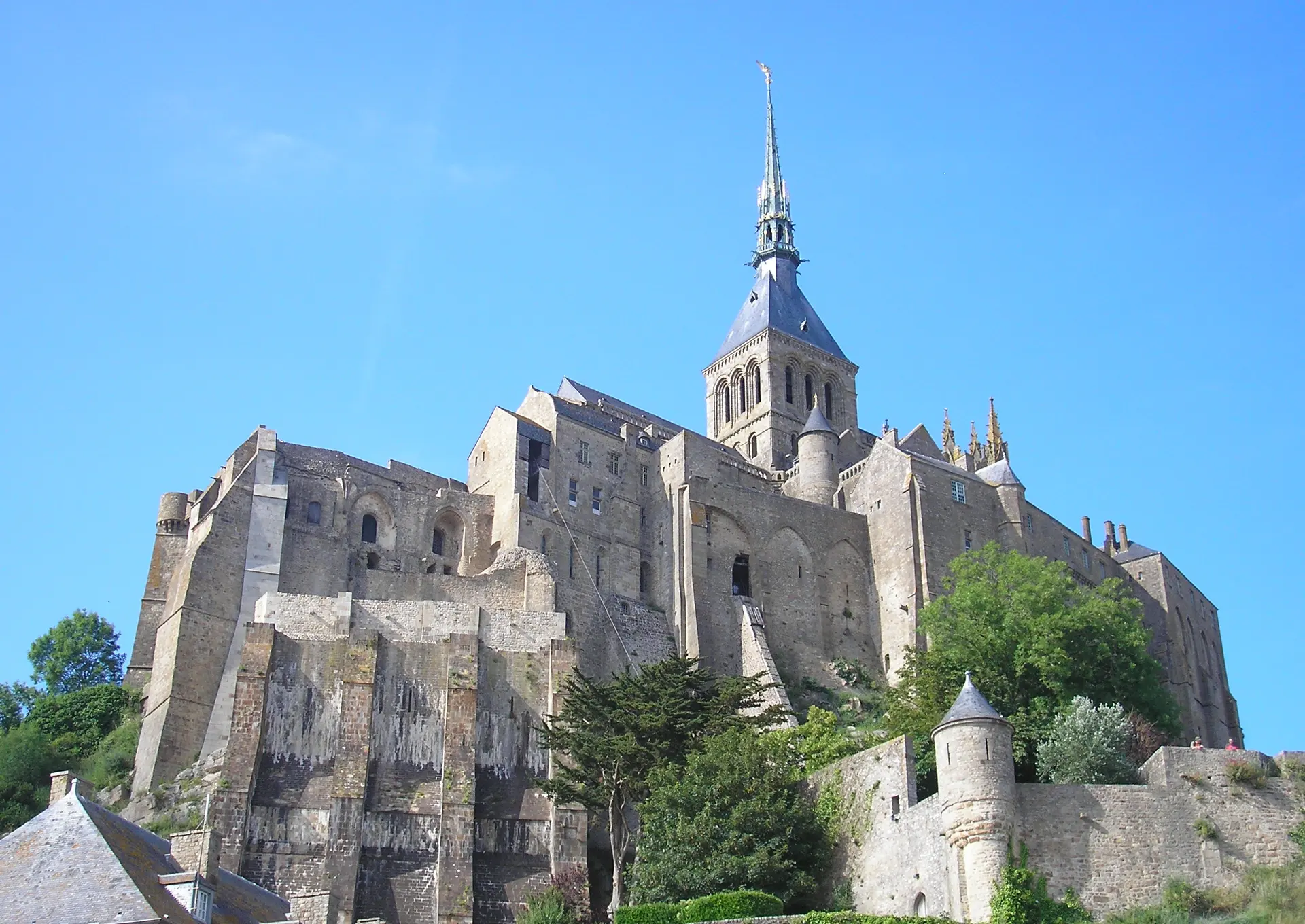
Abbaye du Mont-Saint-Michel (Mont-Saint-Michel Abbey)
Mont-Saint-Michel, Mont-Saint-Michel, Normandie (Manche), France
20.0 km away

Mont-Saint-Michele
Le Mont-Saint-Michel, Manche, France
20.1 km away
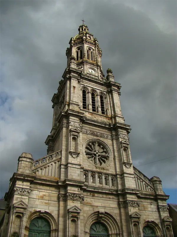
Basilique Saint-Gervais-et-Saint-Protais
Avranches, Avranches, Normandie (Manche), France
32.5 km away
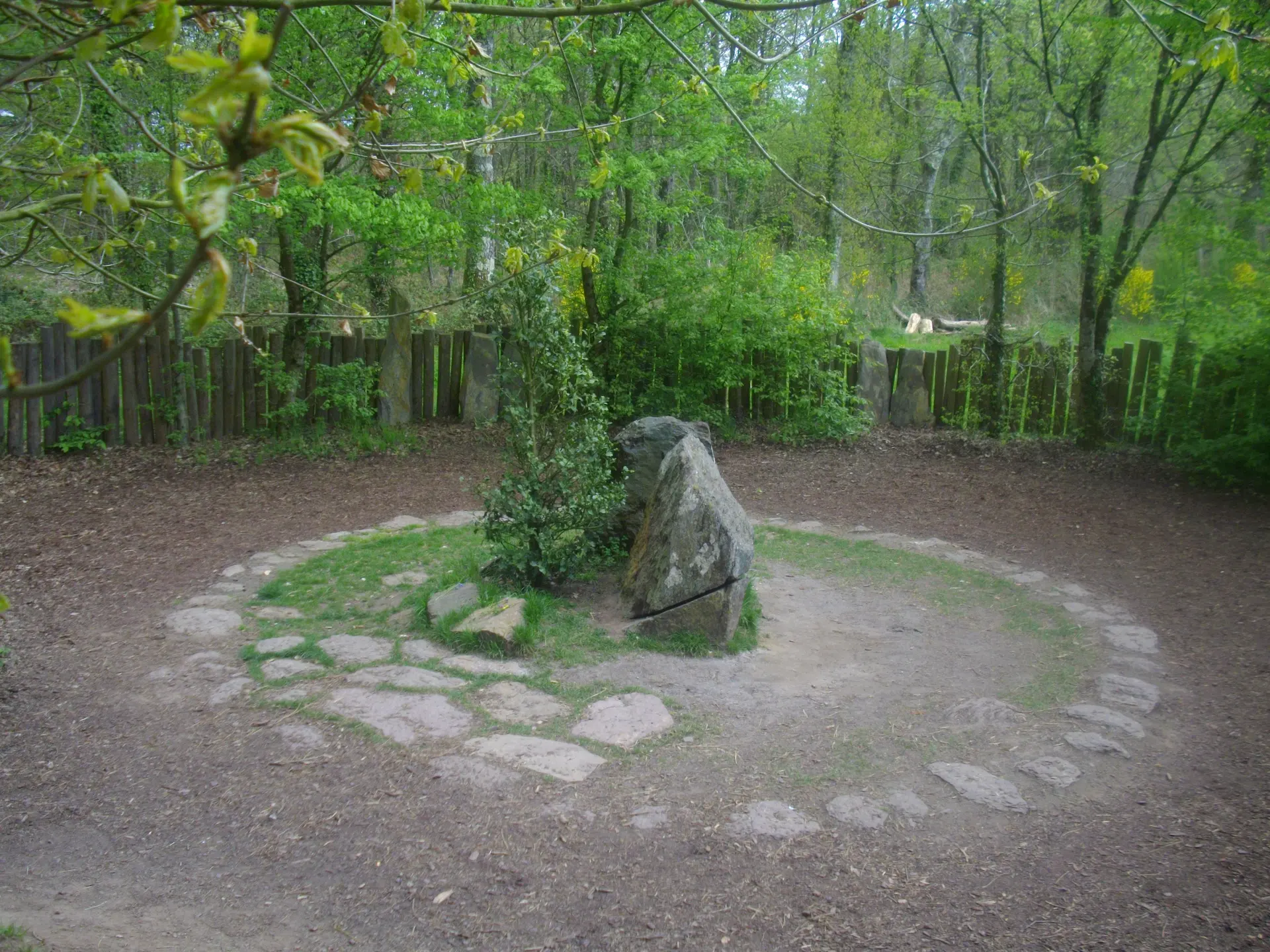
Tombeau de Merlin
Paimpont, Morbihan, France
61.4 km away
References
Sources consulted for this page. Source categories describe the publication, not a guarantee that every claim is verified. Traditional accounts and outside interpretations may differ.
- 01Menhir de Champ-Dolent — WikipediaSource contextComprehensive overview
- 02Menhir du Champ-Dolent — Viv's French AdventuresSource contextVisitor account with legends
- 03Menhir de Champ-Dolent — Megalithic BuildersSource contextArchaeological context
Share a photo
Help visitors recognize Menhir de Champ-Dolent. Every submission is reviewed before publication.