Ku-ring-gai Chase Aboriginal Heritage Walk
Sandstone engravings above Pittwater, carved into living Country
Understand sacred places, explore living traditions, and learn how to engage respectfully with Pilgrim Map.
Access has not been verified. Check current local guidance before planning a visit.
Sydney / Ku-ring-gai Chase, New South Wales, New South Wales, Australia
Read the sources
Visit essentials
A quick read before you go
- Duration
- The full Resolute Loop is approximately 4.4 to 5 km and takes roughly two and a half to three…
- Access
- Located in the West Head precinct of Ku-ring-gai Chase National Park, reached via West Head…
Overview
On the sandstone plateau above Pittwater and Broken Bay, the Aboriginal Heritage Walk passes engravings, ochre hand stencils, grinding grooves, and shell middens documenting at least 7,000 years of Aboriginal presence. Official heritage sources identify the Garigal people with West Head and Broken Bay, and the Darramurragal with Turramurra and the upper Lane Cove headwaters, as documented traditional custodians.
For much of the twentieth century this country was referred to by the now largely discredited “Guringai tribe” label, coined by anthropologist John Fraser in 1892 and now regarded by contemporary researchers and Aboriginal heritage bodies as a constructed ethnonym without sound evidence, not a name the people used for themselves. Red Hands Cave and the Basin engravings are only the visible, sanctioned part of a larger cultural landscape.
NSW National Parks and Wildlife Service and Aboriginal community sources confirm that it also contains gender-restricted and ceremonial sites whose locations are deliberately undisclosed.
Why this place is sacred
What makes this stretch of sandstone significant is not that something sacred once happened here and has since receded into the past, but that Aboriginal community sources insist the opposite: these sites remain sacred to Aboriginal people today, continuously, regardless of whether public ceremony accompanies them. The engravings were never simply decorative.
Sources describe them as expressions of ancestral beings, as ceremonial markers, and as teaching tools used to pass on cosmology and law to those undergoing initiation — a function closer to scripture carved into rock than to art in any secular sense.
That the specific narrative content tied to particular figures, including Baiame depictions recorded in the wider Sydney Basin engraving tradition, is not explained in public materials is itself meaningful: it reflects an active choice by the people whose knowledge this is, not an absence of knowledge on the part of researchers.
The Aboriginal Heritage Office states plainly that some site locations across the region 'will never be made public,' and the visitor walk exists in relation to that boundary rather than in ignorance of it. Standing at Red Hands Cave or the Basin Track engravings, a visitor encounters a fragment of a much larger, mostly unseen landscape of significance — visible enough to instruct, deliberately incomplete enough to protect what needs protecting.
The engravings, hand stencils, and grinding grooves served ceremonial, educational, and practical functions: markers for increase ceremonies intended to sustain food sources, teaching aids for initiation and the transmission of law and cosmology, and everyday tool-making and food-processing sites, rather than purely decorative or commemorative work.
Ku-ring-gai Chase National Park was gazetted in December 1894, one of the earliest reserves of its kind in New South Wales; a 1789 smallpox epidemic, arriving within a year of British settlement at Sydney, devastated the coastal clans of the area, a disruption that official interpretive material explicitly acknowledges as part of the walk's story.
The site was added to the Australian National Heritage List in December 2006 for its combined Aboriginal, natural, and historic values, and Aboriginal-led conservation, including lichen removal from engraving grooves, continues today under the oversight of the Metropolitan Local Aboriginal Land Council.
Experience and orientation
The Aboriginal Heritage Walk, also called the Resolute Loop, covers roughly 4.4 to 5 kilometers of exposed sandstone heath in the West Head precinct, typically taking two and a half to three and a half hours at an unhurried pace. A shorter option exists for those with less time: a roughly 1-kilometer return walk to Red Hands Cave alone, about ten minutes each way from a closer access point.
Along the route, the engravings at sites such as the Basin Track become most visible in low, raking light — early morning or late afternoon sharpens the shadow inside each carved groove, a detail NSW Parks' own interpretive material specifically recommends timing a visit around.
At Red Hands Cave, ochre hand stencils remain on the rock shelter wall, their precise age disputed among sources — estimates range from a few hundred years to several thousand — an uncertainty this account leaves open rather than resolves.
Official interpretive signage along the walk pairs the engravings with the area's history of trauma, referencing the 1789 smallpox epidemic that struck the coastal clans shortly after British arrival, which shifts the tone of the walk from scenic outing toward something closer to acknowledgment.
Start at the Resolute picnic area off West Head Road and allow a full morning or afternoon rather than rushing the loop. Early morning or late afternoon light gives the clearest view of the engraved grooves; bring water and sun protection, since much of the track crosses open heath with little shade.
Context and lineage
Specific Dreaming narrative content tied to individual engraved figures along the walk, including any Baiame depictions recorded within the wider Sydney Basin engraving tradition, is not disclosed in the sources available for this account, consistent with cultural protocols that restrict the sharing of such knowledge outside the community. What is documented is the broader function of these sites: places where ancestral beings, ceremonial law, and the teaching of cosmology to initiates were recorded directly into rock.
Contemporary custodial and consultative oversight runs through the Metropolitan Local Aboriginal Land Council, which approves conservation work such as lichen clearing on engravings and governs repatriation and reburial protocols for excavated remains, working alongside the Aboriginal Heritage Office, a partnership body representing northern Sydney councils.
John Fraser
anthropologist who coined the 'Guringai' label
An anthropologist who in 1892 coined the term 'Guringai' to describe a supposed tribal group across this region; contemporary researchers and Aboriginal heritage bodies now regard this ethnonym as a constructed label lacking a sound evidentiary basis, with the Garigal and Darramurragal recognized instead as the documented custodian groups.
Garigal and Darramurragal peoples
traditional custodians
The Garigal are documented as associated with the West Head and Broken Bay area, and the Darramurragal with the Turramurra and upper Lane Cove headwaters; both are recognized by the Aboriginal Heritage Office and Ku-ring-gai Council as the relevant custodian groups for this specific landscape.
Traditions and practice
Historically documented practices associated with rock engraving sites across this region include increase ceremonies intended to sustain food sources, initiation ceremonies, and periodic re-grooving of engravings to maintain their visibility and, in traditional understanding, their potency. The specific ceremonial content and narrative meaning tied to individual figures at these sites is restricted knowledge, not shared in public sources, and this account does not attempt to reconstruct or guess at it.
Aboriginal-led conservation, including careful lichen removal from engraving grooves, continues today with the approval of the Metropolitan Local Aboriginal Land Council, and cultural heritage consultation between NSW National Parks and Wildlife Service and Aboriginal community stakeholders remains ongoing for sites across the park.
Where available, a guided walk led by an Aboriginal Traditional Custodian offers a materially different experience than a self-guided visit, situating the visible engravings within a cultural framework rather than treating them as isolated images. Absent a guide, slow, attentive walking — timed for the low-angle light that best reveals the engraved grooves — is the most respectful way to encounter the sites independently.
Garigal and Darramurragal custodianship (Aboriginal Australian)
ActiveThe engravings, hand stencils, middens, and occupation sites along the walk are physical evidence of continuous Aboriginal presence and spiritual connection to Country in the West Head and Ku-ring-gai area, extending at least 7,000 years. The Garigal are associated with the West Head and Broken Bay area, the Darramurragal with the Turramurra and upper Lane Cove headwaters, superseding the earlier and now largely discredited 'Guringai tribe' construct.
Historically, rock engraving and ochre hand-stencilling, seasonal re-grooving of engravings, increase and initiation ceremonies, and canoe-building using stringybark bark launched from Resolute Beach. Currently, cultural heritage consultation and conservation oversight, including lichen removal from engraving grooves, coordinated through the Metropolitan Local Aboriginal Land Council and the Aboriginal Heritage Office, with some guided walks led by Aboriginal Traditional Custodians.
Perspectives and open questions
Ku-ring-gai Chase's engravings are read through a scholarly lens focused on technique and chronology, and through the Garigal and Darramurragal custodians' own understanding of these sites as sacred and ongoing rather than historical.
Scholarly perspective
Archaeologists and heritage bodies agree the Sydney Basin, including Ku-ring-gai Chase, holds one of the largest concentrations of Aboriginal rock engraving sites in Australia, with the outline-pecking and abrading technique used to carve figures well documented.
There is scholarly consensus that the 'Guringai' tribal designation coined by John Fraser in 1892 lacks a sound evidentiary basis, and that the Garigal and Darramurragal are the better-supported custodian groups for this specific area — though gaps remain in precise clan-boundary knowledge, a gap the Aboriginal Heritage Office attributes to colonial disruption rather than any current withholding by traditional owners.
Living and traditional perspectives
Aboriginal community sources, including the Aboriginal Heritage Office and the Metropolitan Local Aboriginal Land Council, affirm ongoing custodianship of this landscape and describe the engravings and associated sites as sacred, living cultural heritage rather than purely historical artifacts. These sources are explicit that some knowledge and some site locations are intentionally withheld from the public, framing this as appropriate cultural protocol rather than a gap for outside researchers to close.
Alternative interpretations
No distinct alternative or esoteric interpretive tradition specific to this walk was identified in available sources; independent hiking and travel blogs exist as supplementary description of site locations but do not offer an interpretive framework beyond what NPWS and Aboriginal community sources already establish.
Open questions
The precise age of individual engravings and hand stencils remains unresolved, with estimates ranging from several hundred to several thousand years across different sources. The specific traditional narrative meaning of particular figures, including any site-specific Baiame depictions, may be restricted knowledge rather than simply unknown to researchers — a distinction this account treats deliberately, respecting the gap as cultural protocol rather than flagging it as an open scholarly mystery.
Plan your visit
Access and arrival
Located in the West Head precinct of Ku-ring-gai Chase National Park, reached via West Head Road, with parking at the Resolute picnic area, about 45 minutes' drive from central Sydney. A daily per-vehicle park entry fee applies. West Head access gates close overnight (8:30pm to 6am during daylight saving, 6pm to 6am otherwise). No permit is required for individuals or small groups; groups of 40 or more require prior written NPWS approval.
Respectful visit
No specific dress code is mandated; standard bushwalking attire — sturdy shoes, a hat, and sun protection — suits the exposed sandstone heath terrain.
No blanket photography restriction applies to the signposted public sites, but visitors should not photograph or geotag any feature not explicitly marked as part of the walk, and should never share the location of unmarked rock art or cultural sites online or otherwise.
No tradition of visitor offerings is documented at this site.
Do not touch, trace over, or otherwise physically interact with any engraving, stencil, or cultural feature. Do not remove or disturb any cultural material, including shell midden fragments. Groups of 40 or more require prior written approval from NSW National Parks and Wildlife Service under the park's Plan of Management.
Stay on marked tracks; the wider region is documented to contain gender-restricted and other ceremonial sites whose locations traditional owners have chosen not to make public, and visitors should not attempt to locate or publicize any site beyond the signposted route.
Never touch, trace, or press against any engraving or stencil; skin oils and acids cause irreversible damage over time. Do not seek out, photograph, or share the location of any rock art or cultural feature not explicitly signposted as part of the public walk — the existence of undisclosed gender-restricted and ceremonial sites elsewhere in this landscape means an unmarked discovery may be exactly the kind of site its custodians have chosen to keep unpublished.
Location
Map loads as you approach this section.
Pilgrim reflections
A portrait of encounter, not a score
Pilgrims describe what they felt, how present they could become, and whether the place would shape a journey. There are no stars and no ranking of traditions.
No reviewed reflections yet
The first pilgrims can help describe the character of being here.
Share a reflection
Available after an account-backed “Been there.” Every reflection is reviewed before publication.
Nearby sacred places
Explore other sacred places in the region. Proximity does not establish access or travel time; check each place’s guidance.

Red Hands Cave
Glenbrook / Blue Mountains, New South Wales, New South Wales, Australia
57.0 km away
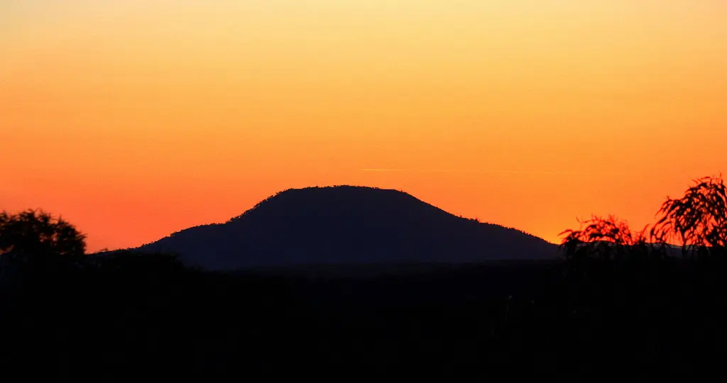
Mount Yengo
Wollombi / Yengo National Park, New South Wales, New South Wales, Australia
88.8 km away
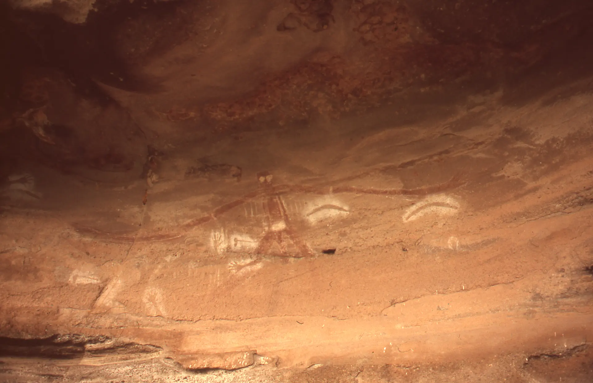
Baiame Cave
Milbrodale / Singleton, New South Wales, New South Wales, Australia
114.1 km away
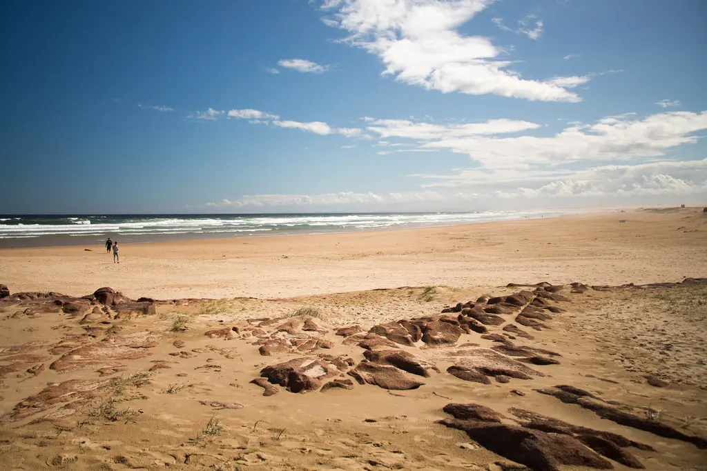
Worimi Conservation Lands
Nelson Bay, New South Wales, Australia
133.3 km away
References
Sources consulted for this page. Source categories describe the publication, not a guarantee that every claim is verified. Traditional accounts and outside interpretations may differ.
- 01Aboriginal Heritage walk — NSW National Parks and Wildlife ServiceofficialOfficial park authority page; describes walk route, Garrigal traditional owners at West Head, etiquette rules, access/entry fee information.
- 02Aboriginal Heritage Walk, Ku-ring-gai Chase National Park (Get Inspired story) — NSW National Parks and Wildlife ServiceofficialOfficial narrative feature covering Red Hands Cave, Resolute Beach canoe-launching practice, plant knowledge, and reference to the 1789 smallpox epidemic's impact on coastal clans.
- 03Basin Aboriginal art site — NSW National Parks and Wildlife ServiceofficialOfficial page on a specific engraving site within the park; visitor etiquette (do not touch) and viewing conditions.
- 04Ku-ring-gai Chase National Park, Lion Island, Long Island and Spectacle Island nature reserves — Australian Government Department of Climate Change, Energy, the Environment and Water (DCCEEW)officialAustralian National Heritage List entry; confirms listing (December 2006) citing Aboriginal, natural and historic heritage values.
- 05Clans of Sydney — Aboriginal Heritage Office (partnership of northern Sydney councils, working with Aboriginal community)Source contextIdentifies Garigal (Broken Bay/West Head area) and Darramurragal (Turramurra/Lane Cove headwaters) as the documented clans for this area; explicitly flags major gaps in historical clan-boundary knowledge as a legacy of colonial disruption, not a wish of traditional owners.
- 06Our History — Metropolitan Local Aboriginal Land CouncilSource contextLand council with a consultative/statutory role in Aboriginal heritage matters across the Sydney metropolitan area, including engagement on Ku-ring-gai Chase sites; approves lichen-clearing conservation work on engravings and repatriation/reburial protocols for excavated remains.
- 07Ku-ring-gai Chase National Park Plan of Management — NSW National Parks and Wildlife Service / NSW Environment and HeritageofficialOfficial management plan; referenced for group-size approval requirements (40+ visitors require written approval) and general park governance; document rendered largely as binary/image content on fetch, so only indirectly verified via secondary citation.
- 08Ku-ring-gai Chase National Park — Wikipedia contributorsacademicGeneral encyclopedia entry; park establishment history (gazetted 1894), 800+ recorded Aboriginal sites, contested 'Ku-ring-gai' ethnonym.
- 09Sydney rock engravings — Wikipedia contributorsacademicDescribes engraving techniques, ceremonial functions (increase sites, initiation sites, Culture Hero depictions of Baiame/Daramulan), gendered restricted areas (men's/women's/birthing sites), and non-publication of most site locations to preserve sanctity.
- 10Aboriginal heritage — Ku-ring-gai CouncilofficialLocal government page; supports Darramurragal/Garigal clan attribution and discusses the discredited 'Guringai tribe' hypothesis.
- 11Aboriginal Rock Art - Ku-ring-gai Chase — Hiking the World (independent blog)Source contextEnthusiast hiking blog; used only as supplementary context for site locations (Basin, Echidna, Cowan, Red Hand tracks) and figure counts, cross-checked against Wikipedia.
Share a photo
Help visitors recognize Ku-ring-gai Chase Aboriginal Heritage Walk. Every submission is reviewed before publication.