Kura Tawhiti - Castle Hill
Where Ngāi Tahu ancestors traced trails among limestone outcrops they still consider sacred
Castle Hill, Canterbury, New Zealand

Plan this visit
Practical context before you go
1-3 hours for walking and exploration
Beside State Highway 73, 80 minutes from Christchurch in Waimakariri Basin. Free access. DOC car park. Tracks among formations.
Do not climb the outcrops. Ngāi Tahu consider this to denigrate their tapu status.
At a glance
- Coordinates
- -43.2167, 171.7167
- Type
- Natural
- Suggested duration
- 1-3 hours for walking and exploration
- Access
- Beside State Highway 73, 80 minutes from Christchurch in Waimakariri Basin. Free access. DOC car park. Tracks among formations.
Pilgrim tips
- Weather-appropriate outdoor gear (alpine conditions)
- Permitted with respect
- Do not climb the limestone outcrops—this denigrates their tapu. Alpine weather; dress appropriately.
Overview
Limestone formations rise from the Canterbury high country like a scattered city. To European eyes, they looked like castle ruins—hence 'Castle Hill.' To Ngāi Tahu, they are Kura Tāwhiti, 'treasure from a distant land.' This is one of only 14 South Island sites granted Tōpuni status in the 1997 land settlement—legal recognition of highest cultural significance. The iwi ask visitors to respect that climbing the outcrops denigrates their tapu.
The limestone outcrops of Kura Tāwhiti rise from tussock grassland in the Waimakariri Basin, eighty minutes from Christchurch. Geological process created them—millions of years of dissolution sculpting pale stone into forms that spark imagination. European settlers saw ruined castles; Māori saw something deeper.
For Ngāi Tahu, these formations are not recreation but relationship. The name Kura Tāwhiti means 'treasure from a distant land,' referring to the kūmara that ancestors once cultivated in this region. The ancestor Tane Tiki, son of the celebrated chief Tūāhuriri, claimed this land. His reasons included the kākāpō of the nearby mountains—their soft skins and glowing green feathers for clothing his daughter Hine Mihi would wear.
In the 1997 Ngāi Tahu land settlement, Kura Tāwhiti received Tōpuni status—one of only 14 South Island sites so honored. Tōpuni means a cloak of dog fur, the traditional way chiefs extended protection and authority. The legal designation ensures that Ngāi Tahu values are recognized, acknowledged, and respected in the site's management.
The iwi asks something specific of visitors: do not climb the outcrops. Rock climbing here—popular as the area is for bouldering—denigrates their tapu status. Wāhi tapu, sacred places, exist among the limestone. Charcoal drawings 500 years old speak of those who came before. The traditional knowledge of trails, rock shelters, and food-gathering places forms integral part of tribal identity that stretches from distant ancestors to present generations.
Context and lineage
The ancestor Tane Tiki, son of chief Tūāhuriri, claimed Kura Tāwhiti. He sought the kākāpō of nearby mountains for their soft skins and glowing green feathers—clothing for his daughter Hine Mihi.
Ngāi Tahu ancestral territory. Tōpuni status (1997)—one of 14 South Island sites. Conservation area managed in partnership with iwi.
Tane Tiki
Ngāi Tahu ancestor who claimed the area
Tūāhuriri
Celebrated chief, Tane Tiki's father
Why this place is sacred
What makes this place thin for Ngāi Tahu is not mysticism but relationship. Ties stretch unbroken from distant ancestors to present generations. Tane Tiki claimed this land; his descendants maintain connection to it. The trails, the rock shelters, the places for gathering kai—all form a landscape saturated with tribal identity.
The 500-year-old charcoal drawings hidden among the limestone outcrops speak of Waitaha, the first people to travel through this area. The knowledge associated with these drawings, with this landscape, remains held and valued by present-day Māori.
Tōpuni status recognizes what the iwi has always known: this place holds mana. The legal designation—one of only 14 in the South Island—does not create the significance but acknowledges it. The cloak of protection that chiefs once placed over treasured people and places now extends through formal law.
Visitors encounter something different from other scenic reserves. This is not land awaiting human purpose but land already purposeful, already claimed, already sacred. The request not to climb is not arbitrary restriction but invitation to encounter the place differently—not as recreational resource but as someone's home, someone's heritage, someone's treasure from a distant land.
Ngāi Tahu ancestral territory with wāhi tapu (sacred places), food-gathering sites, and traditional trails
Māori occupation from first settlement. Waitaha charcoal drawings 500 years old. 1950s: First NZ reserve for endangered plant. 1997: Tōpuni status in Ngāi Tahu land settlement.
Traditions and practice
Ngāi Tahu maintain traditional knowledge and relationship to land
Iwi involvement in conservation management. Rock climbing code asks climbers to respect tapu.
Walk the DOC tracks. Observe the formations from ground level. Consider what it means to encounter land that is not waiting for your purpose but already holds meaning.
Ngāi Tahu
ActiveOne of 14 South Island sites with Tōpuni status (1997). Wāhi tapu (sacred places). Claimed by ancestor Tane Tiki. 500-year-old Waitaha rock art. Trails, shelters, and kai-gathering knowledge form tribal identity. Climbing denigrates tapu.
Traditional knowledge transmission, iwi management involvement, visitor education about tapu
Experience and perspectives
The drive from Christchurch takes eighty minutes, climbing through the foothills into the high country basin. The limestone outcrops appear against a backdrop of mountains—pale stone forms rising from golden tussock, scattered across the landscape like pieces of a puzzle waiting for assembly.
The temptation is to climb. Bouldering is popular here; the holds are excellent; the rock invites. But Ngāi Tahu ask otherwise. Climbing the outcrops denigrates their tapu status. A rock-climbing code is in place; respect for iwi association is requested.
Walk instead. The Department of Conservation tracks wind among the formations. From ground level, the outcrops rise overhead, their shapes shifting with your movement. Light changes their character across the day. Views open toward the mountains that once held kākāpō, toward the basin where ancestors cultivated kūmara.
Look for the traces of occupation. Charcoal drawings 500 years old hide among the stones. Rock shelters that provided refuge. The landscape holds memory that the iwi still access, still value, still transmit.
This is not wilderness awaiting human meaning. This is country with a name, a history, a relationship that continues. Kura Tāwhiti—treasure from a distant land.
Come with awareness that this is Ngāi Tahu land. Walk; do not climb. Encounter the formations as hosts request, not as recreational resource.
Kura Tāwhiti can be approached as geological phenomenon, conservation area, or—most significantly—Ngāi Tahu ancestral territory with Tōpuni protection.
Archaeological site with 500-year-old rock art. Conservation area for endangered Castle Hill buttercup. Tōpuni status confirms cultural significance.
Ngāi Tahu maintain that ties stretch unbroken from distant ancestors to present generations. Kura Tāwhiti forms integral part of tribal identity.
Some visitors report spiritual experiences among the formations. Featured in Narnia film adds modern cultural layer.
Full extent of rock art. Complete traditional uses. What ceremonies were conducted.
Visit planning
Beside State Highway 73, 80 minutes from Christchurch in Waimakariri Basin. Free access. DOC car park. Tracks among formations.
Arthur's Pass village; Springfield; Christchurch
Do not climb the outcrops. Ngāi Tahu consider this to denigrate their tapu status.
Weather-appropriate outdoor gear (alpine conditions)
Permitted with respect
Leave no trace
Do not climb outcrops; respect tapu
Plan your visit
Address
West Coast Road, Castle Hill 7580, New Zealand
Phone
Hours
Hours, fees, and access can change — verify on the official source before you travel. Practical details last checked Jun 2026.
Nearby sacred places
Sacred places within a half-day’s reach. Pilgrims often visit them together: walk one, stay for the other.
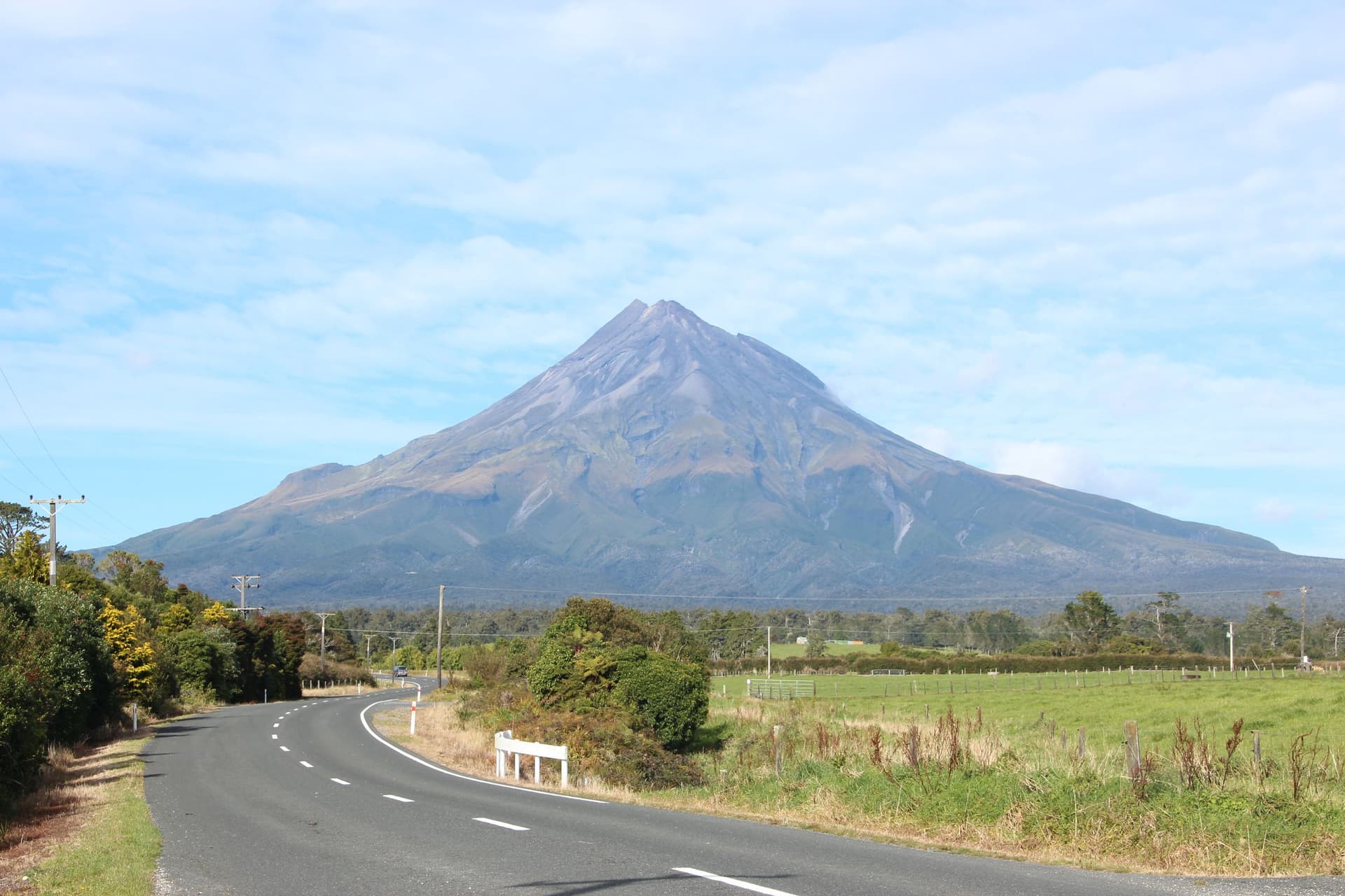
Taranaki Maunga
Egmont National Park / Taranaki, Taranaki Region, Egmont National Park / Taranaki, Taranaki Region, New Zealand
477.9 km away

Maungakiekie / One Tree Hill
Auckland, Auckland Region, Auckland, Auckland Region, New Zealand
749.4 km away

Worimi Conservation Lands
Nelson Bay, New South Wales, Australia
2067.0 km away

Ku-ring-gai Chase Aboriginal Heritage Walk
Sydney / Ku-ring-gai Chase, New South Wales, Sydney / Ku-ring-gai Chase, New South Wales, Australia
2071.2 km away
References
Sources consulted when researching this page. Independent verification by readers is welcome.
- 01Kura Tāwhiti (Castle Hill) — Department of Conservation NZhigh-reliability
- 02The rocks of Castle Hill — New Zealand Geographichigh-reliability
- 03Castle Hill, Canterbury — Te Ara Encyclopedia of New Zealandhigh-reliability
Key questions
What pilgrims usually ask
- Why is Kura Tawhiti - Castle Hill considered sacred?
- Visit Ngāi Tahu sacred limestone formations with Tōpuni protection. Ancestor Tane Tiki's territory. Please walk, not climb. Canterbury, New Zealand.
- What should I wear at Kura Tawhiti - Castle Hill?
- Weather-appropriate outdoor gear (alpine conditions)
- Can I take photos at Kura Tawhiti - Castle Hill?
- Permitted with respect
- How long should I spend at Kura Tawhiti - Castle Hill?
- 1-3 hours for walking and exploration
- How do you visit Kura Tawhiti - Castle Hill?
- Beside State Highway 73, 80 minutes from Christchurch in Waimakariri Basin. Free access. DOC car park. Tracks among formations.
- What offerings are appropriate at Kura Tawhiti - Castle Hill?
- Leave no trace
- What etiquette should visitors follow at Kura Tawhiti - Castle Hill?
- Do not climb the outcrops. Ngāi Tahu consider this to denigrate their tapu status.
- What is the history of Kura Tawhiti - Castle Hill?
- The ancestor Tane Tiki, son of chief Tūāhuriri, claimed Kura Tāwhiti. He sought the kākāpō of nearby mountains for their soft skins and glowing green feathers—clothing for his daughter Hine Mihi.