At A Glance
- Coordinates
- 54.3238, -5.6766
Overview
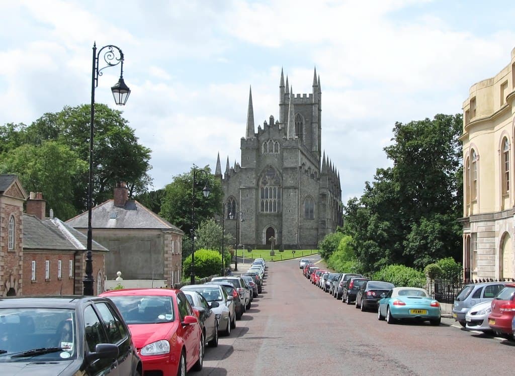
Downpatrick is a town of sacred significance. Approximate coordinates: 54.32382, -5.67662. Attributes: built, cultural, pilgrimage. Tradition: Christianity. Associated figure: St. Patrick. Downpatrick (from Irish Dún Pádraig, meaning Patrick s fort ) is a town in County Down, Northern Ireland. It is on the Lecale peninsula, about 21 mi (34 km) south of Belfast. In the Middle Ages, it was the capital of the Dál Fiatach, the main ruling dynasty of Ulaid. Its cathedral is said to be the burial place of Saint Patrick. Today, it is the county town of Down and the joint headquarters of Newry, Mourne and Down District Council. Downpatrick had a population of 11,545 according to the 2021 Census. Located in Northern Ireland / Tuaisceart Éireann, United Kingdom.
Sacred Cluster
Nearby sacred places create the location cluster described in the growth plan. This block is intentionally crawlable and links into the wider regional graph.
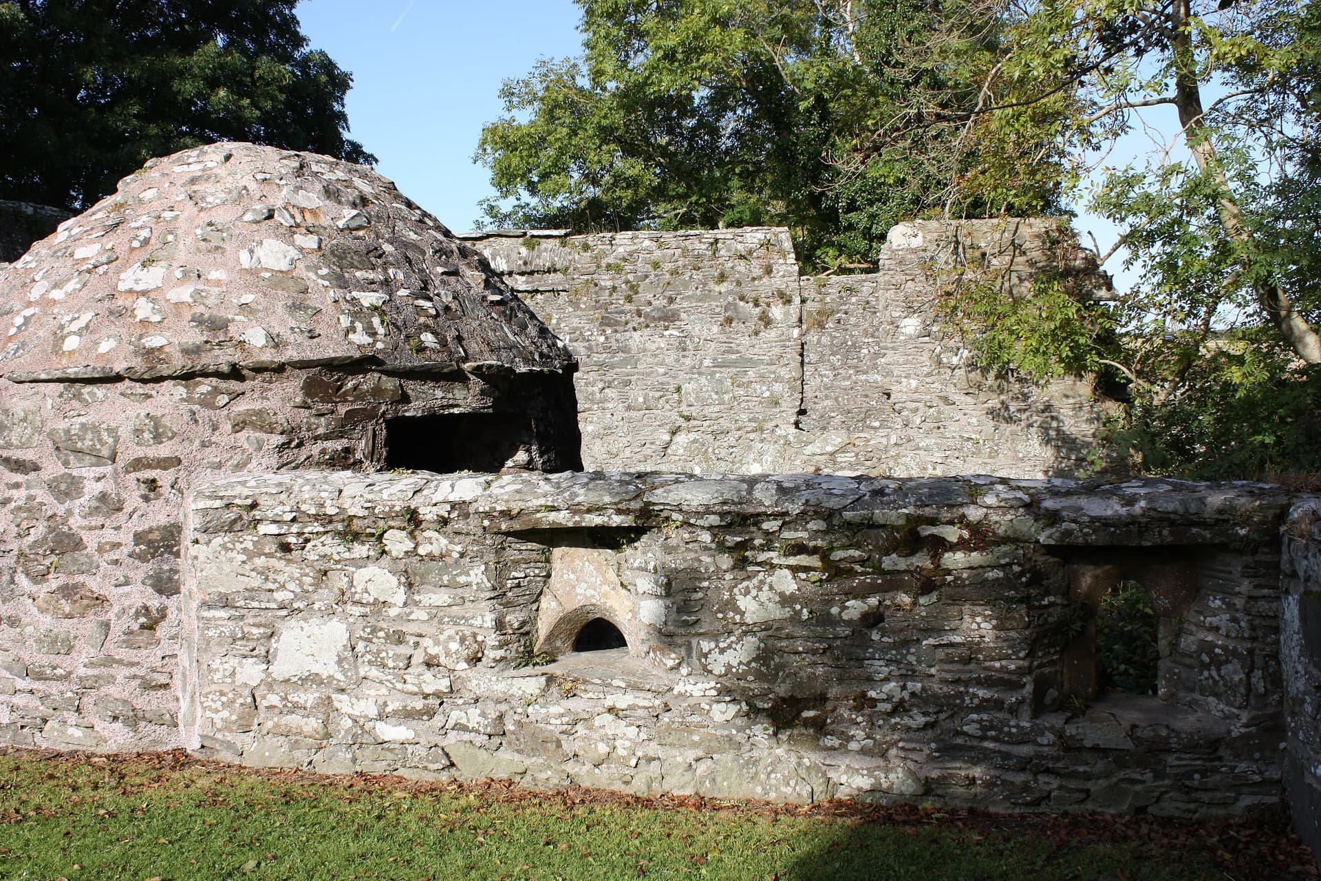
Struell Wells, Downpatrick, Northern Ireland
Downpatrick, Northern Ireland, United Kingdom
0.1 km away

Ballynoe Stone Circle, Downpatrick, Ireland
Downpatrick, Northern Ireland, United Kingdom
4.9 km away
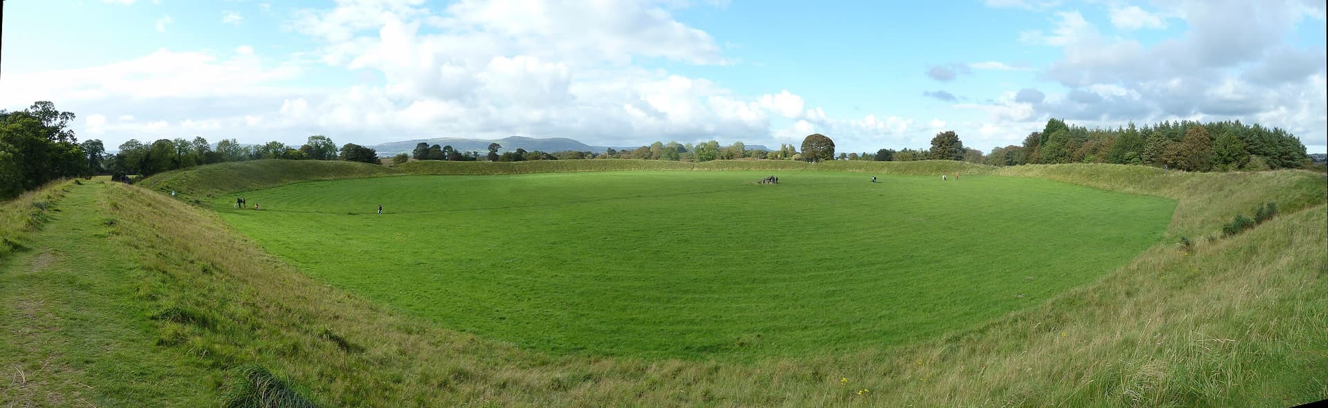
Giant’s Ring, Belfast, Northern Ireland
Belfast, Northern Ireland, United Kingdom
30.2 km away
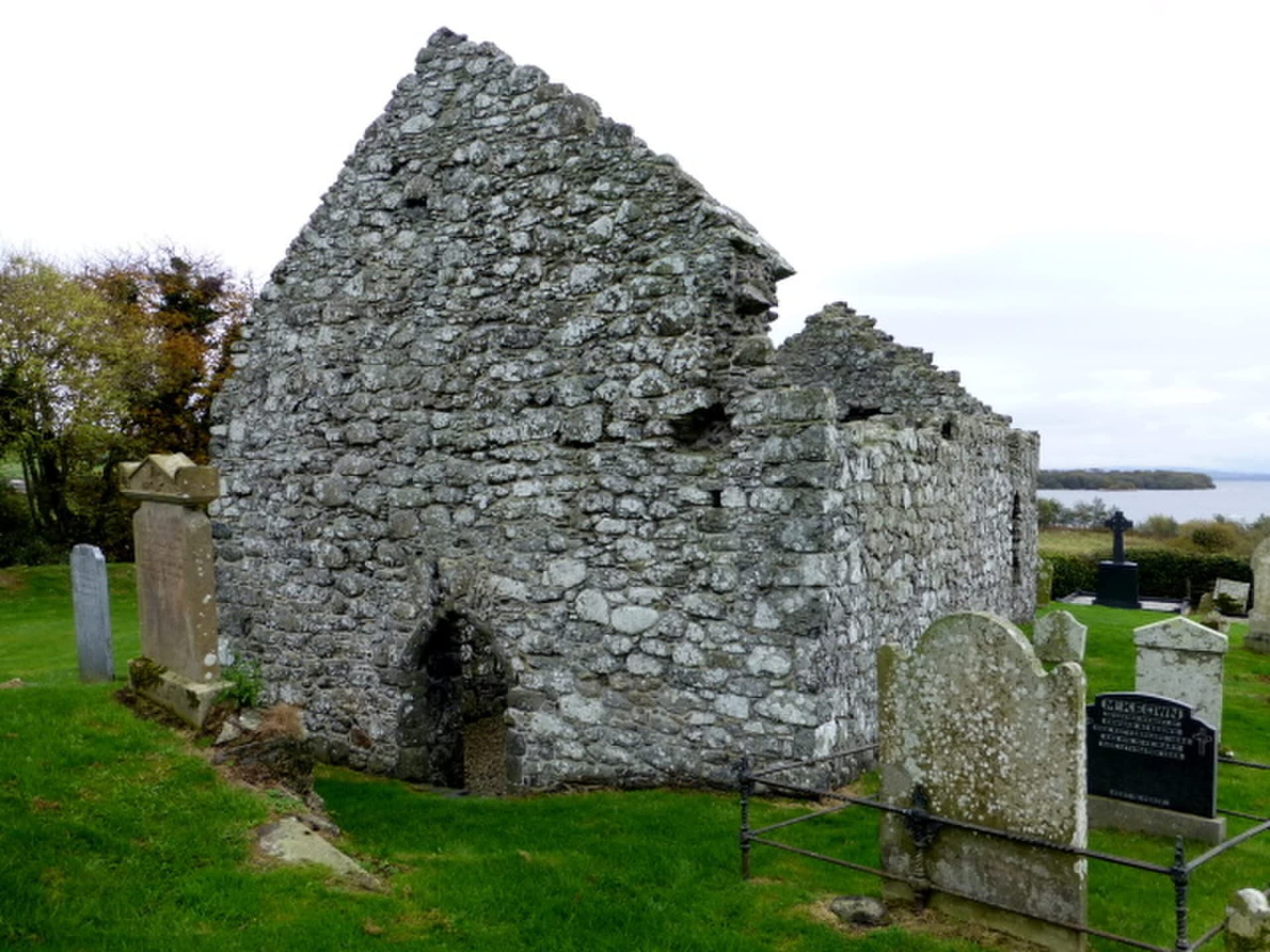
Cranfield Church, Antrim, Northern Ireland
Antrim and Newtownabbey District, Northern Ireland, United Kingdom
62.4 km away