Runkurakay
A small circular ruin above the trail whose original purpose is still disputed
Understand sacred places, explore living traditions, and learn how to engage respectfully with Pilgrim Map.
Access has not been verified. Check current local guidance before planning a visit.
Machu Picchu district, Cusco, Peru
Read the sources
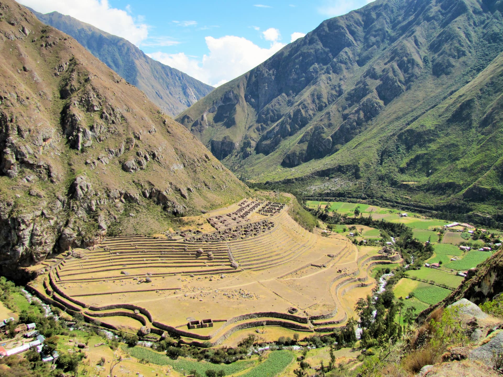
Image of Runkurakay. Image source
On this pilgrimage
Inca Trail to Machu PicchuVisit essentials
A quick read before you go
- Duration
- A brief stop of roughly fifteen to thirty minutes on Day 2 of the Classic 4-day/3-night trek; it…
- Access
- Only reachable via a guided Classic Inca Trail trek under a non-transferable, passport-linked…
Overview
At roughly 3,750 meters between Warmi Wañusqa (Dead Woman's Pass) and a second high pass on the Classic Inca Trail, Runkurakay's rounded stone walls contrast with the rectilinear architecture typical of most regional Inca sites. Its Quechua name—from runku, basket, and raqay, shed or ruin—suggests its curved form more than any settled function.
Hiram Bingham noted the site in 1915 and Paul Fejos surveyed it again in 1940, but neither their observations nor later tourism and trekking literature established a scholarly consensus. Sources variously describe a tambo, or waystation, with room for travelers and pack animals; a watchtower or checkpoint controlling a defensible pass approach; and, less commonly, a ceremonial dimension tied to its unusual circular plan. No reading is confirmed by published excavation data, so the function remains genuinely open.
Undisputed are Runkurakay's place in the Inca road network feeding Machu Picchu and its present role as a brief, striking stop midway through the trail's most demanding day.
Why this place is sacred
The debate over Runkurakay's original purpose turns on the same evidence read in different ways. Its circular enclosures, trapezoidal doorways, and zigzag perimeter walls are unusual for a tambo (an Inca rest house), which more typically follows a rectangular plan — a fact some researchers cite as evidence the site served a different, perhaps observational or defensive, function tied to its command of the pass approach and its wide views over the Vilcabamba range.
Others point to internal features consistent with lodging and animal stabling, and to the site's position within the chasqui relay system — the network of runners who carried messages along Inca roads — to argue for a waystation or checkpoint role integrated with that communication infrastructure.
A minority of sources raise, without evidence beyond speculation, the possibility of a ceremonial dimension connected to the circular architecture itself, since round forms are less common in Inca ceremonial building than the association might suggest, but no dedicated study has tested this. No solstice or equinox alignment comparable to Machu Picchu's Intihuatana has been documented for Runkurakay, so an astronomical-observatory reading, while occasionally suggested in popular writing, should be treated as unsubstantiated.
The most honest summary available from current sources is that Runkurakay probably served practical road-network functions — rest, animal support, and possibly lookout or checkpoint duties — but whether it was purely practical or also carried ceremonial weight remains disputed, and no single excavation report reviewed here resolves it.
Disputed: tambo/waystation, watchtower/checkpoint, and (a minority view) partial ceremonial function have all been proposed, without archaeological consensus. See perspectives.scholarly for the fuller account of this open debate.
Runkurakay was likely built and used during the 15th-century Inca imperial expansion that also produced the wider road and waystation network serving Machu Picchu. It was noted by Hiram Bingham in 1915 and resurveyed by Paul Fejos in 1940, then absorbed into the modern, permit-regulated Classic Inca Trail as a protected but unrestored stop, without any known intervening period of reuse or reoccupation.
Experience and orientation
Runkurakay arrives after the trail's hardest single effort — the climb over Dead Woman's Pass at 4,215 meters — and shortly before a second, nearly as strenuous ascent to about 3,950 meters. The ruin sits just off the path, its rounded walls visible well before arrival, a welcome visual break from the switchbacks.
Trekkers commonly pause here for fifteen to thirty minutes, catching breath, taking in the sweeping outlook over cloud forest and the Vilcabamba range, and noting the site's odd, curved geometry against the straight lines seen almost everywhere else on the trail.
Because the stop is brief and the climb ahead still looms, the mood at Runkurakay tends toward the practical rather than the contemplative — though many trekkers report that the combination of altitude, exertion, and the small mystery of the ruin's function gives the site an outsized psychological weight relative to its modest size.
It functions, for many, as a marker: the midpoint of the trail's most physically demanding day, and a reminder that plenty about this landscape remains genuinely unknown.
The ruin sits just below the second pass, a short detour off the main trail; walk its perimeter to see the contrast between its round outer wall and the more conventional rectangular chambers within, and look north toward the pass for the views that likely made this a useful lookout point regardless of its primary function.
Context and lineage
No foundation legend or origin account for Runkurakay survives; it is understood only within the broader context of Inca state road-building and imperial expansion during the 15th century. Hiram Bingham recorded the site during his 1915 survey work in the Machu Picchu region, and Paul Fejos, leading the Viking Fund (Wenner-Gren) expedition, resurveyed it in 1940 — but neither account settles the questions of who commissioned it or precisely when construction occurred.
Runkurakay is one node in the chain of waystations — including Sayacmarca, Phuyupatamarca, and Wiñay Wayna further along — that supplied, sheltered, and regulated movement along the Inca road culminating at Machu Picchu.
Inca state road engineers
Original builders of the waystation network along the road to Machu Picchu, including Runkurakay; no specific architect or administrator is named in available sources.
Hiram Bingham III
American explorer who first recorded the site for the outside world in 1915 during his broader Machu Picchu-region survey.
Paul Fejos
Leader of the 1940 Viking Fund (Wenner-Gren) expedition that resurveyed the site.
Ann Kendall
Archaeologist whose Cusichaca Trust fieldwork on Inca and pre-Inca agricultural and infrastructure sites in the region provides general scholarly context, though no source directly ties her excavation work to Runkurakay specifically.
Peter Frost
Long-time Inca Trail explorer and guidebook author whose expeditions in the Willkapampa mountains established broad regional authority on Inca architecture, though his direct analysis of Runkurakay was not confirmed in sources reviewed.
Traditions and practice
General Inca practice along ceremonial roads and huaca networks involved offerings of chicha and coca leaves, and the chasqui relay system staged messengers at waypoints across the empire; whether either practice occurred specifically at Runkurakay is not documented, and should not be presumed.
No ceremonial activity takes place at the site today; it functions purely as a brief, guide-led stop on a regulated trek.
Take the fifteen to thirty minutes most itineraries allow to actually walk the ruin's perimeter rather than only photographing it from the trail — the circular wall is easiest to appreciate on foot. Notice your own state at this point in the day: this stop falls at a genuine physical threshold, and pausing here deliberately, even briefly, marks that fact rather than rushing past it.
Inca religion / Andean cosmology
HistoricalAs part of the Inca road and waystation network feeding the Machu Picchu royal estate, Runkurakay reflects the integration of infrastructure, administration, and cosmology characteristic of Inca sacred geography, though its own specific ritual role, if any, is unconfirmed.
Archaeological research on Inca road infrastructure
ActiveRunkurakay's contested function continues to attract archaeological and travel-scholarship interest as a case study in the difficulty of interpreting Inca waystation architecture without excavation data.
Classic Inca Trail trekking
ActiveRunkurakay is a fixed, well-known waypoint on the regulated Classic Inca Trail, experienced by thousands of permitted trekkers annually as a rest point on the trail's most demanding day.
Perspectives and open questions
Runkurakay's original function is one of the more openly unresolved questions on the Inca Trail, and it is worth sitting with that uncertainty rather than resolving it prematurely.
Scholarly perspective
There is no firm scholarly consensus on Runkurakay's precise original function. Most archaeological and guidebook sources favor a tambo (waystation/rest house) reading, citing features consistent with lodging and pack-animal support, and its plausible role in the chasqui messenger-relay system that moved information along Inca roads. A watchtower or checkpoint interpretation is argued with comparable frequency, on the strength of the site's elevated, view-commanding position near a defensible pass.
A minority of sources raise a possible ceremonial dimension tied to the site's unusual circular architecture — atypical for a standard Inca tambo — but this remains speculative and unconfirmed by any excavation report identified in this research. These theories are not necessarily mutually exclusive: an Inca waystation could plausibly have combined practical, defensive, and observational roles, but no source consulted here settles which combination, if any, applied at Runkurakay specifically.
The site is presented honestly as disputed rather than resolved.
Living and traditional perspectives
Within Andean cosmology, waystations along roads leading to significant huacas or royal estates such as Machu Picchu can be understood as participating in a broader sacred landscape where movement itself carried ritual weight, paralleling the way the Cusco ceque system organized pilgrimage and offering circuits. No specific Quechua oral tradition naming Runkurakay itself was located in research.
Alternative interpretations
Some popular and speculative sources associate Inca waystations near Machu Picchu broadly with astronomical or observatory functions, by analogy with the Intihuatana stone; no source specifically substantiates a solar or celestial alignment for Runkurakay, and this framing should be treated as unsubstantiated speculation rather than established fact.
Open questions
Whether Runkurakay was primarily a rest stop, a checkpoint, a messenger-relay point, a watchtower, or some blend that also carried ceremonial meaning tied to its unusual round form remains genuinely open. No excavation report specific to the site was located that resolves this question, and it should be presented to visitors as an active area of uncertainty rather than settled history.
Plan your visit
Access and arrival
Only reachable via a guided Classic Inca Trail trek under a non-transferable, passport-linked permit purchased in advance through a government-licensed tour operator; permits are capped at 500 people per day including staff (roughly 200 trekkers), and trail movement is prohibited between 6pm and 5am. No mobile phone signal information specific to Runkurakay was available at time of writing; treat this stretch of trail as having unreliable or no coverage and rely on your guide's emergency protocols and satellite communication equipment.
No specific ranger-station or emergency-checkpoint location for this exact point was available at time of writing; check with your licensed operator or Peru's Ministry of Culture (Sernanp for the wider Sanctuary) for current emergency-response arrangements along the trail.
No lodging exists at the ruin itself; trekkers camp at designated campsites arranged by their tour operator as part of the multi-day Classic Trail itinerary.
Respectful visit
Standard high-altitude trekking attire — layers, sun protection, sturdy boots — given the elevation and exposure near the pass; no specific dress requirement is documented for the site itself.
Personal photography is permitted; drone use and unauthorized commercial filming are prohibited throughout the Historic Sanctuary.
No traditional or contemporary offering practice is documented as occurring at this site; visitors should not leave coins, objects, or markings.
Climbing on or touching the stonework is discouraged, and the site cannot be visited independently — access is only possible within a licensed, guided Classic Inca Trail trek under an approved permit.
The site sits near 3,750–3,950 meters; altitude effects (headache, breathlessness, fatigue) are common here even for otherwise fit trekkers, and this is not the place to push pace — rest as needed before continuing to the second pass.
Location
Map loads as you approach this section.
Pilgrim reflections
A portrait of encounter, not a score
Pilgrims describe what they felt, how present they could become, and whether the place would shape a journey. There are no stars and no ranking of traditions.
No reviewed reflections yet
The first pilgrims can help describe the character of being here.
Share a reflection
Available after an account-backed “Been there.” Every reflection is reviewed before publication.
Watch deeper
Films, episodes, and recorded talks for visitors who want more context before or after a visit. Speculative and alternative-history entries are labelled as perspectives, not as sources for established claims.
Nearby sacred places
Explore other sacred places in the region. Proximity does not establish access or travel time; check each place’s guidance.


References
Sources consulted for this page. Source categories describe the publication, not a guarantee that every claim is verified. Traditional accounts and outside interpretations may differ.
- 01Historic Sanctuary of Machu Picchu — UNESCO World Heritage Centre — UNESCOofficialMachu Picchu Historic Sanctuary (which encompasses the classic Inca Trail and Runkurakay) inscribed as a Mixed World Heritage Site in 1983 under criteria (i), (iii), (vii), (ix), covering cultural, aesthetic, and biodiversity significance.
- 02Runkuraqay — Wikipedia — Wikipedia contributorsacademicConfirms location (Cusco Region, Urubamba Province, Machupicchu District), coordinates, Quechua etymology (runku = basket, raqay = shed/ruin), Inca cultural attribution, and documented visits by Hiram Bingham III (1915) and Paul Fejos (1940). Does not resolve function debate.
- 03Inca Trail to Machu Picchu — Wikipedia — Wikipedia contributorsacademicConfirms trail sequence (Warmi Wañusqa pass → Pakaymayu → Runkuraqay at 3,750m → second pass 3,950m → Sayacmarca → Qunchamarka), permit cap of 500/day (200 trekkers), and Qhapaq Ñan UNESCO inscription (2014) as part of the broader Andean road system.
- 04Runkuracay On The Inca Trail: Small Ruin With A Bigger Story — Inca Trail to Machu Picchu (tour operator content)Source contextDescribes circular stone architecture, competing functional theories (tambo, checkpoint, lookout/watchtower, road-network support structure), and frames the site as part of Inca infrastructure for communication, administration and control. States no single function is definitively confirmed.
- 05Runkurakay archaeological site — Inca Trail to Machu Picchu — incatrailmachupicchu.orgSource contextDescribes elevation (~3,760m), circular enclosures unusual for tambo architecture, trapezoidal doors and zigzag walls, and role in the chasqui (Inca messenger) relay system linking Cusco (Qhapac) region to Antisuyo jungle citadels including Machu Picchu.
- 06Runkurakay on the Inca Trail: History, Architecture, and Location — Machu Picchu Viajes PerúSource contextGeneral guidebook description of site history and architecture; corroborates tambo/waystation framing.
- 07Explorer Peter Frost: Discovering Inca Architecture, Ruins & Cities — National Geographic ExpeditionsSource contextBackground on Peter Frost, a long-time Inca Trail explorer/guidebook author who led National Geographic-sponsored expeditions in the Willkapampa mountains; does not directly analyze Runkurakay but establishes his general authority on Inca Trail archaeology and interpretation.
- 08Cosmology in the Inca Empire: Huaca Sanctuaries, State-Supported Pilgrimage, and Astronomy — Ancient Astronomy (erenow.org excerpt)Source contextDescribes the Cusco ceque system: 42 ritual lines radiating from Coricancha linking 328 huacas, used for state-supported pilgrimage, astronomical/ritual calendars, and offerings (chicha, coca, sacrifice) maintained by ayllu kin groups. Provides general Inca cosmological context for interpreting waystations like Runkurakay, though it does not name Runkurakay specifically.
- 09Inca Trail Regulations: Complete Permit & Rules Guide — machupicchu.orgSource contextConfirms the Inca Trail Network of the Machu Picchu Historic Sanctuary closes entirely every February for ecological recovery and infrastructure maintenance, reopening March 1; permits are non-transferable and tied to passport numbers; daily cap of 500 (including staff).
Share a photo
Help visitors recognize Runkurakay. Every submission is reviewed before publication.