At A Glance
- Coordinates
- 14.3498, -3.6096
Overview
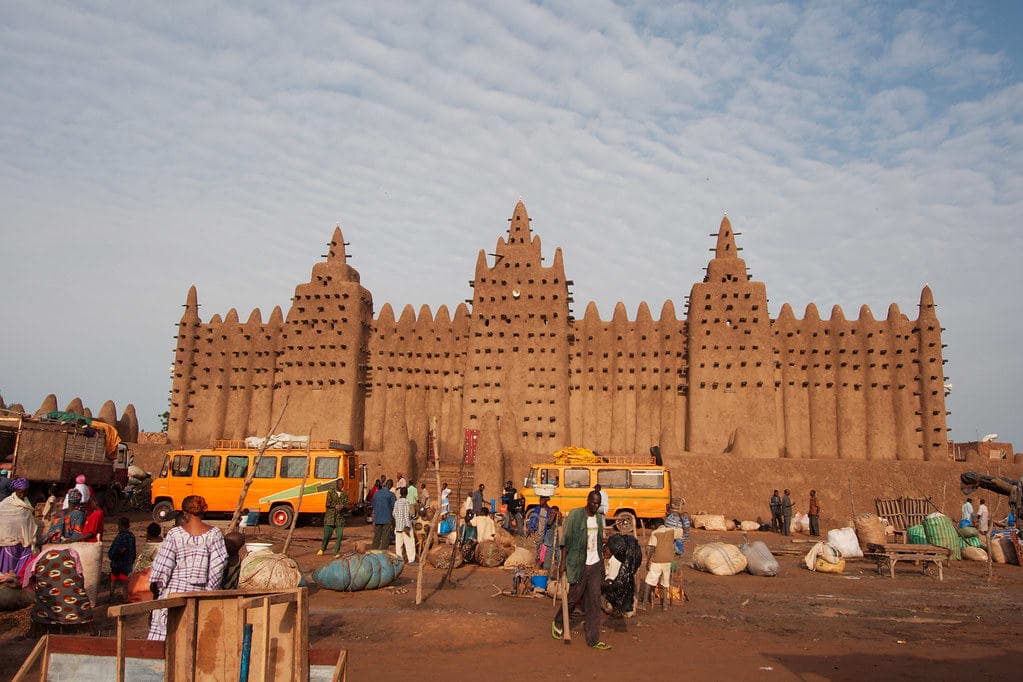
Bandiagara is a shrine of sacred significance. Approximate coordinates: 14.34980, -3.60961. Attributes: built, cultural. Tradition: Dogon; also recognized in Dogon, Fulani, Bambaras contexts. Bandiagara (French pronunciation: [bɑ̃djaɡaʁa]) is a small town and urban commune in the Mopti Region of Mali. The name translates roughly to large eating bowl —referring to the communal bowl meals are served in. Mainly on its Bandiagara Escarpment it has about 2,000 speakers of the vibrant Bangime language, an isolate used mainly as an anti-language; it has the highest point of the country. Bandiagara is 65 km east-southeast of Mopti. A seasonal river, the Yamé, flows in a northeasterly direction through the town. The population includes a number of different ethnic groups including Dogons, Fulani and Bambaras. Located in Bandiagara, Mopti, Mali.
Sacred Cluster
Nearby sacred places create the location cluster described in the growth plan. This block is intentionally crawlable and links into the wider regional graph.