LiDAR
LiDAR analysis defined Mahendraparvata's urban form
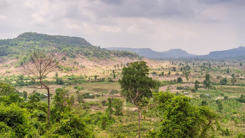
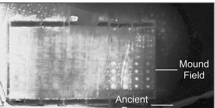
A 2019 Antiquity study combined LiDAR and field survey to describe an extended, centrally planned urban network on the Phnom Kulen plateau.
Why it matters: The evidence establishes Mahendraparvata as a landscape-scale urban form while keeping it distinct from the whole sacred mountain.